Search a hike or location
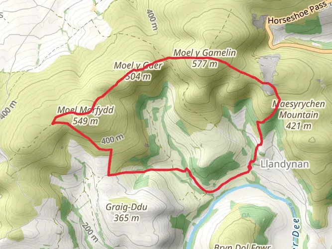
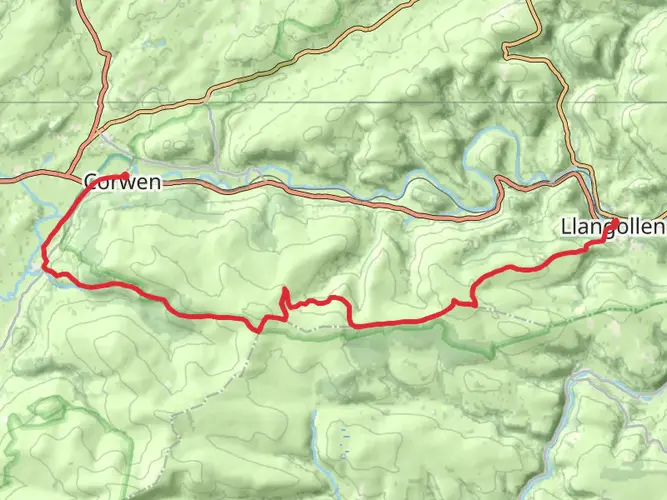
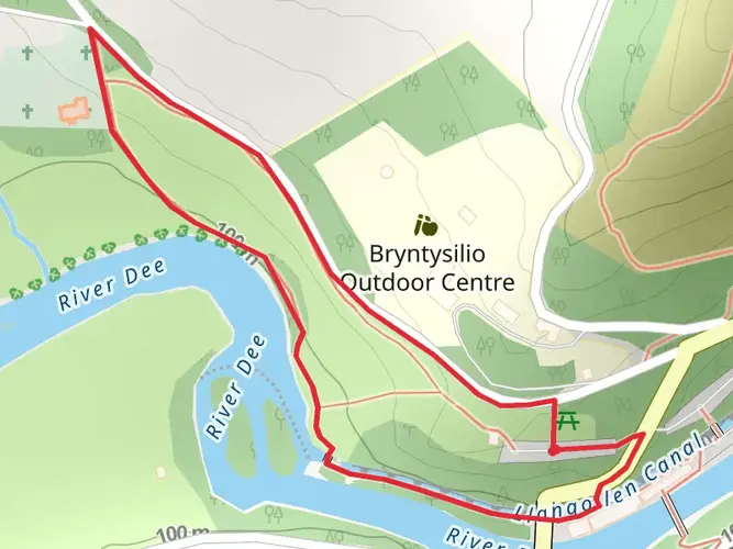
Clwyd, Wales
Download
3D Flyover
Add to list
Complete
More
5.0 km
~1 hrs 19 min
202 m
Loop
Undulating moorland then rural sheltered
What to expect?
Surfaces
Unknown
76% · 3.84km
Ground
21% · 1.07km
Paved
2.7% · 0.14km
User comments, reviews and discussions about the Ponderosa to Eglwyseg view Loop, Wales.
star
average rating out of 5
0 rating(s)
Nearby Hikes
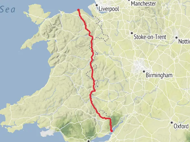
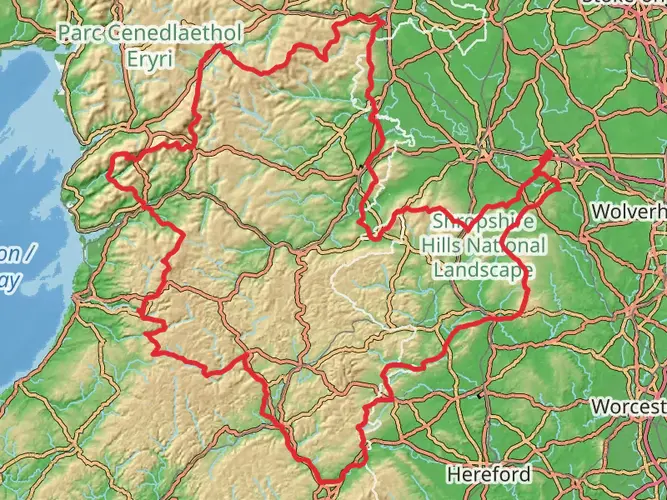
Offa's Dyke Path
Gloucestershire, England
286.6 km · 8142 m
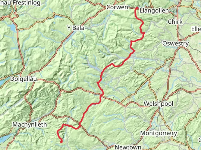
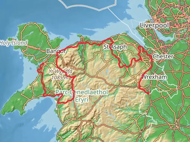
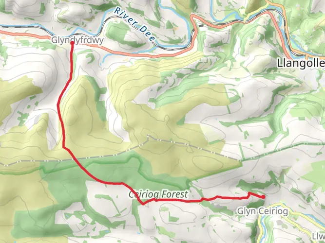
Glyndyfrdwy to Dylife Walk
Denbighshire, Wales
93.0 km · 3141 m
Dee Valley Way
39.8 km · 1319 m
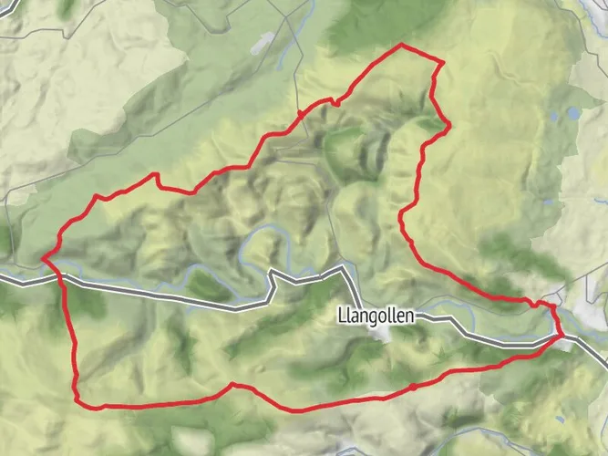
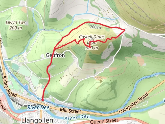
Castell Dinas Bran from Llangollen
6.2 km · 261 m
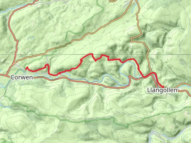
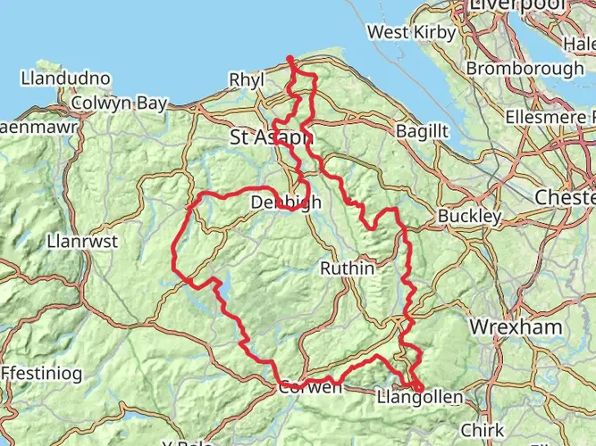
Ruabon Mountain and The Limestone Edges of Llangollen
18.0 km · 448 m
Ruabon Mountain - World's End and Panorama Circular
Wrexham, Wales
20.2 km · 604 m
Rhewl - Moel y Gamelin and Moel Morfydd
8.7 km · 558 m
Hope House Way
Telford and Wrekin, England
562.9 km · 17198 m
North Berwyn Way
25.0 km · 850 m
Castles in North Wales
Wrexham, England
366.8 km · 8840 m
Llangollen Circular Trail
51.4 km · 1769 m
Clwydian Way
193.1 km · 5271 m
Wales Cistercian Way
Newport, Wales
1008.7 km · 26695 m
Nant Y Pandy Walk
9.8 km · 364 m
Castell Dinas Bran Loop
4.1 km · 241 m
Horseshoe Falls Llangollen Loop
1.3 km · 32 m
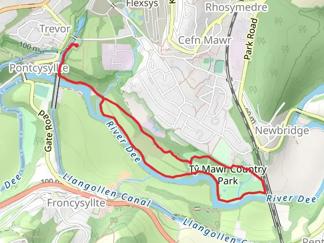
Ty Mawr Country Park Loop
4.5 km · 80 m
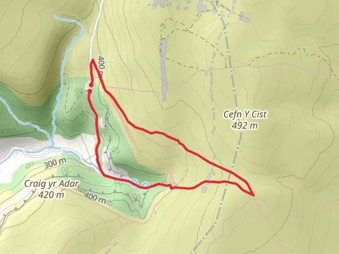
World's End Llangollen Loop
3.5 km · 143 m
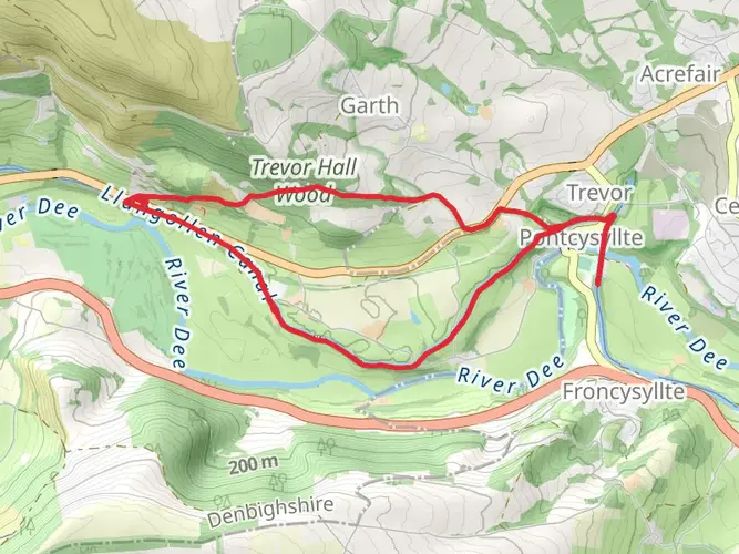
Sun Trevor to Pontcysyllte Aqueduct
8.6 km · 115 m
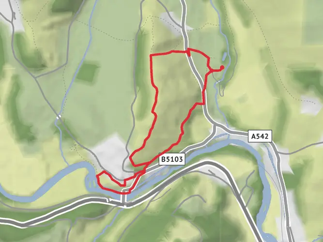
Abbey Farm to Horseshoe Falls Loop
3.7 km · 159 m
Continue in App
Continue in Browser
Choose which optional cookies and similar technologies HiiKER can use on this device. Privacy & cookie policy
Sign-in, security, checkout, support chat when you open it, and remembering these choices.
Google Analytics and PostHog (our own EU-hosted analytics) — which pages are visited and how features are used, so we can improve HiiKER.
Google Ads, Meta, Reddit and X pixels and Rewardful referral tracking — they tell those platforms when someone arrives from, or buys after, one of our ads or referrals. Turning this off opts you out of the "sale" or "sharing" of your personal information for targeted advertising.