Download
3D Flyover
Add to list
More
8.9 km
~2 hrs 8 min
219 m
Out and Back
“A colourful loop of gentle cruising and punchy rises, with seasonal mud, heat, and wildlife surprises.”
A roughly 9 km (5.6 mi) loop with about 200 m (656 ft) of climbing is a solid “medium” outing: long enough to feel like a proper hike, with short punchy rises rather than sustained mountain-grade ascents. Expect a mix of easy cruising and a few sections where you’ll slow down to manage footing, heat, or wet ground depending on season.
Because the start location is listed only as “near” (no town/park name or coordinates), I can’t reliably convert the trailhead to a nearest address/landmark yet. If you share a pin (lat/long) or the nearest place name (trailhead parking lot, park entrance, road crossing, or a HiiKER link), I’ll anchor the route to a specific, real-world start point and tailor the access notes and on-trail landmarks accordingly.
Getting to the start (car + public transport)
By car - Plan for a typical “trailhead-style” arrival: aim to park legally off the roadway, leave no valuables visible, and check for any posted access restrictions (gates, seasonal closures, private land signage). - If the route begins near a residential edge or farm roads, be prepared for narrow shoulders and limited turnarounds—arrive early to reduce parking stress.
By public transport - For most medium-length local hikes, the workable pattern is: train/bus to the nearest town center, then a short rideshare/taxi or a walk/bike to the trailhead. - Once you provide the “near ___” location (or coordinates), I can identify the closest stop and estimate the last-mile distance and time.
What the hike feels like underfoot
With ~200 m (656 ft) of gain over ~9 km (5.6 mi), the climbing usually comes in two to four distinct rises rather than one long grind. A common pacing expectation: - First 1–2 km (0.6–1.2 mi): gentle warm-up terrain where you can settle into rhythm. - Middle kilometers: the most likely place for the steeper pitches—short climbs that can spike effort, especially if the surface is loose gravel, roots, or sand. - Final third: often rolling or gradually descending, where tired legs can make small rocks/roots feel more “technical” than they did earlier.
If you’re using HiiKER for navigation, download the route for offline use before you lose signal, and keep an eye on any short connector turns—medium loops often have a couple of junctions where it’s easy to continue straight on the “main-looking” track and miss a quieter spur.
Landmarks, nature, and wildlife to watch for
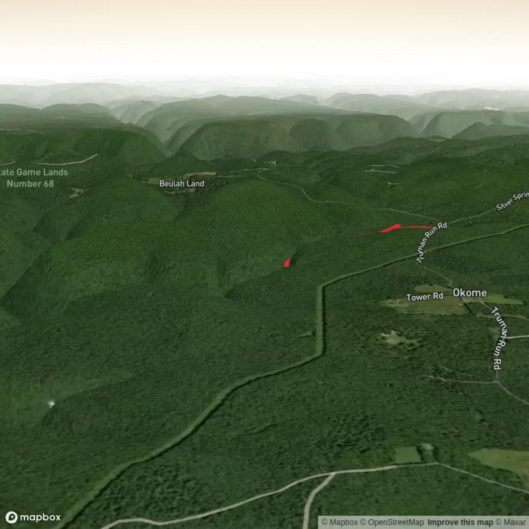
Without the exact region, I can’t name the specific landmarks on Sebring Run yet, but here’s what to plan for on a medium loop of this profile, and what to actively look out for:
- Edge habitats and transitions: Many 9 km loops pass through changing vegetation zones—open areas into denser woodland, or wet low spots into drier ridgelines. These transitions are where you’ll often see the most wildlife activity.
- Water and low-lying sections: If the route crosses creeks, drainage lines, or seasonal wetlands, expect mud after rain, slick roots, and mosquitoes/biting flies in warmer months. Trekking poles can help with balance on greasy ground.
- Birdlife and small mammals: Dawn and late afternoon are typically best for sightings. Move quietly through thicker cover and pause at clearings—wildlife is more often heard first than seen.
- Snakes/ticks (region-dependent): In many parts of the U.S., warm months mean ticks in grassy edges and leaf litter. Wear long socks, use repellent, and do a full tick check after. Watch where you place hands/feet near sunny rocks or logs.
Effort, timing, and planning
A realistic moving-time range for most hikers on a medium 9 km (5.6 mi) loop with 200 m (656 ft) gain is 2 to 3.5 hours, plus breaks. Plan more time if: - the surface is sandy, muddy, or rocky, - it’s hot/humid, - you’re hiking with kids or a group with mixed fitness.
Water & food - Carry at least 1–1.5 L of water for mild conditions; 2 L if it’s warm or exposed. If there’s no reliable water source on-route, treat it as a dry hike. - Bring a snack you’ll actually eat mid-hike (salty + quick carbs). Medium hikes often feel easy until the last third.
Footwear - Light hikers/trail runners are fine on firm tread. - If you expect wet ground or uneven footing, choose shoes with solid grip; consider gaiters if the route is brushy or sandy.
Weather and hazards to anticipate
- Heat exposure: Even moderate elevation gain can feel harder in direct sun. Start earlier on hot days and use sun protection.
- After-rain conditions: Mud can turn “medium” into “harder-than-expected,” especially on short steep pitches where traction matters.
- Navigation at junctions: Loops often have multiple intersections—confirm each turn on HiiKER rather than assuming the widest path is correct.
Historical significance (once the location is confirmed)
“Sebring” can refer to multiple places and regions, each with very different history (settlement patterns, rail/road development, land use, conservation history, and in some areas, Indigenous cultural landscapes). If you share the trailhead location (coordinates or nearest town/park), I’ll add accurate, place-specific historical context—without guessing.
Send either: 1) the trail

Surfaces
Unknown
Dirt
Comments and Reviews
User comments, reviews and discussions about the Sebring Run, United States.
average rating out of 5
0 rating(s)