Download
3D Flyover
Add to list
More
Trail length
12.7 km
Time
~3 hrs 47 min
Elevation Gain
752 m
Hike Type
Out and Back
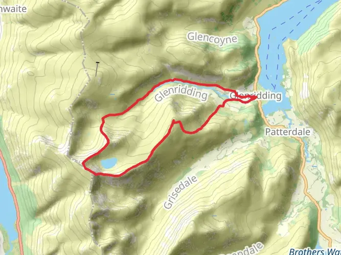
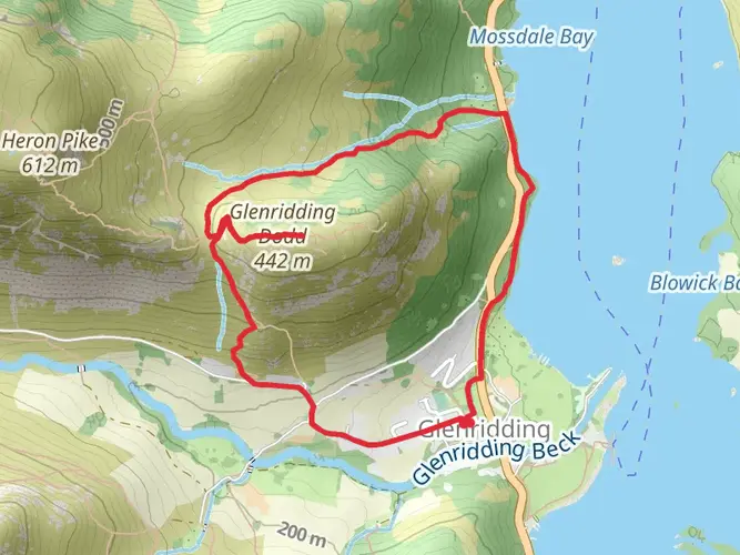
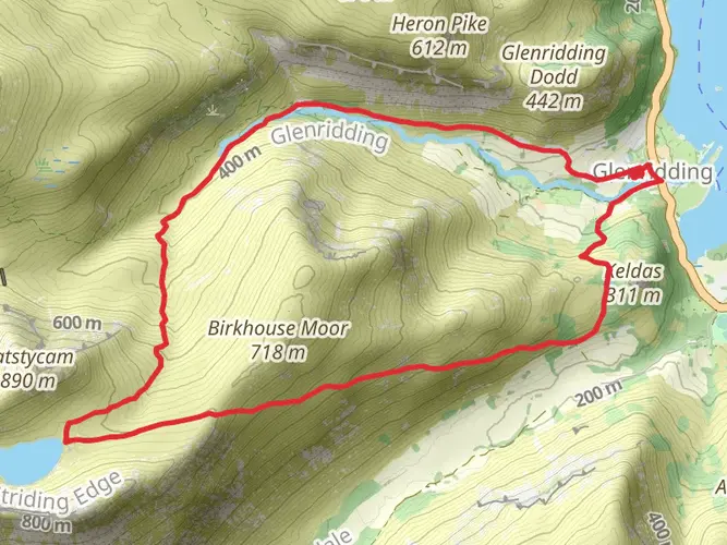
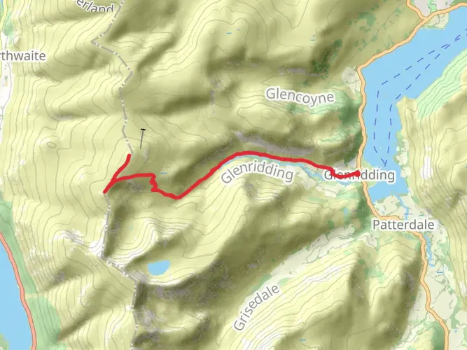
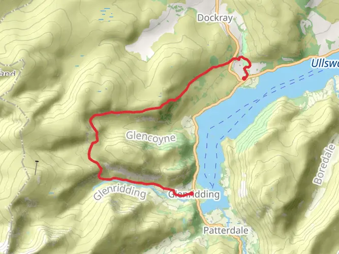
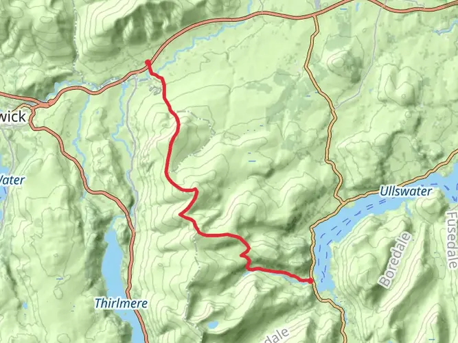
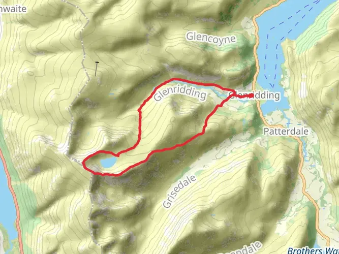
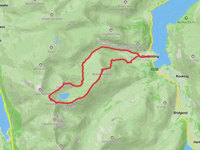
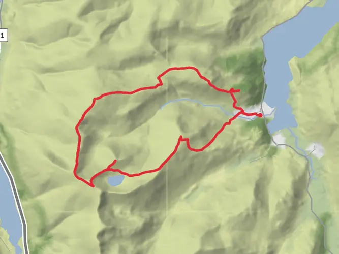
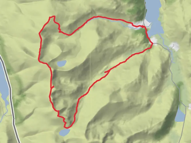
Challenging circular hike from Glenridding (12.7 km, about 3.9 hours) with serious climbs and descents totaling around 753 m up and 782 m down. The route starts and finishes in the village, likely climbing onto the surrounding fells for wide views over Ullswater and the valley. Steep, rough sections and exposed terrain make this route suitable for fit, experienced hikers prepared for changing Lake District weather.
Created by
Andy H

What to expect?
Surfaces
Dirt
Unknown
Asphalt
Compacted Gravel
Gravel
Paved
Comments and Reviews
User comments, reviews and discussions about the Hike from Glenridding - Catsycam out and back, United Kingdom.
average rating out of 5
0 rating(s)