Download
3D Flyover
Add to list
More
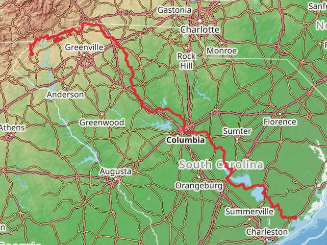
912.2 km
~38 days
24682 m
Multi-Day
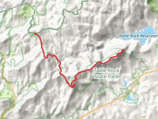
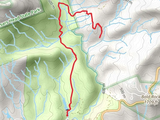
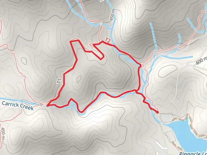
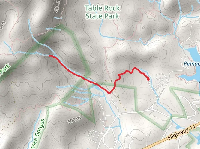
The Southeastern Serpentine Trail is a 912.2 km trail that starts in Pickens, Pickens County, South Carolina. Based on our data, the hike is graded as Extra Difficult. For information on how we grade trails, please read measuring the difficulty of a hiking trail on hiiker. Also, check our latest community posts for trail updates. This hike can be completed in approx 38 days. Caution is advised on trail times as this depends on multiple variables. For more info read about how we calculate hike time.

Frequently asked questions
How long is the Southeastern Serpentine Trail in South Carolina?
The Southeastern Serpentine Trail is 912.2 km long, making it a true multi-day route rather than a weekend hike. At that length, it is best approached as a long-distance trek through the southern Appalachian region, with Pickens County serving as one part of the overall route.
How difficult is the Southeastern Serpentine Trail and who is it best suited for?
The Southeastern Serpentine Trail is rated Extra Difficult, with 24,682 m of total elevation gain over 912.2 km. That combination points to a demanding long-distance hike best suited to experienced backpackers who are comfortable with sustained climbing, multi-day logistics, and extended time on trail.
How many days does it take to hike the Southeastern Serpentine Trail?
The exact schedule depends on daily mileage, but 912.2 km usually means several weeks on trail. At 20 km per day, the route would take about 46 days, while a 25 km pace would still be roughly 36 to 37 days, and the 24,682 m of climbing can slow progress further.
Does the Southeastern Serpentine Trail have a lot of elevation gain?
Yes. The Southeastern Serpentine Trail packs in 24,682 m of ascent across its 912.2 km length, which is a very large amount of climbing for a single route. That elevation profile is one reason it is classified as Extra Difficult and should be planned like a serious endurance hike.
Is the Southeastern Serpentine Trail a loop or an out-and-back hike?
The Southeastern Serpentine Trail is listed as a multi-day trail rather than a short loop or out-and-back day hike. With a total distance of 912.2 km, it is better understood as a point-to-point long trail that requires transportation planning at both the start and finish.
Where is the Southeastern Serpentine Trail located?
The Southeastern Serpentine Trail is associated with Pickens County in northwestern South Carolina, in the Appalachian foothills and mountain region of the state. That places it in one of South Carolina’s most rugged hiking areas, where long climbs and backcountry terrain are common.
Comments and Reviews
User comments, reviews and discussions about the Southeastern Serpentine Trail, South Carolina.
4.8
average rating out of 5
20 rating(s)