Download
3D Flyover
Add to list
More
13.3 km
~4 hrs 32 min
1134 m
Loop
“A steep, weather-sharpened Arrochar circuit of rugged ridges, big views, and hard-earned mountain drama.”
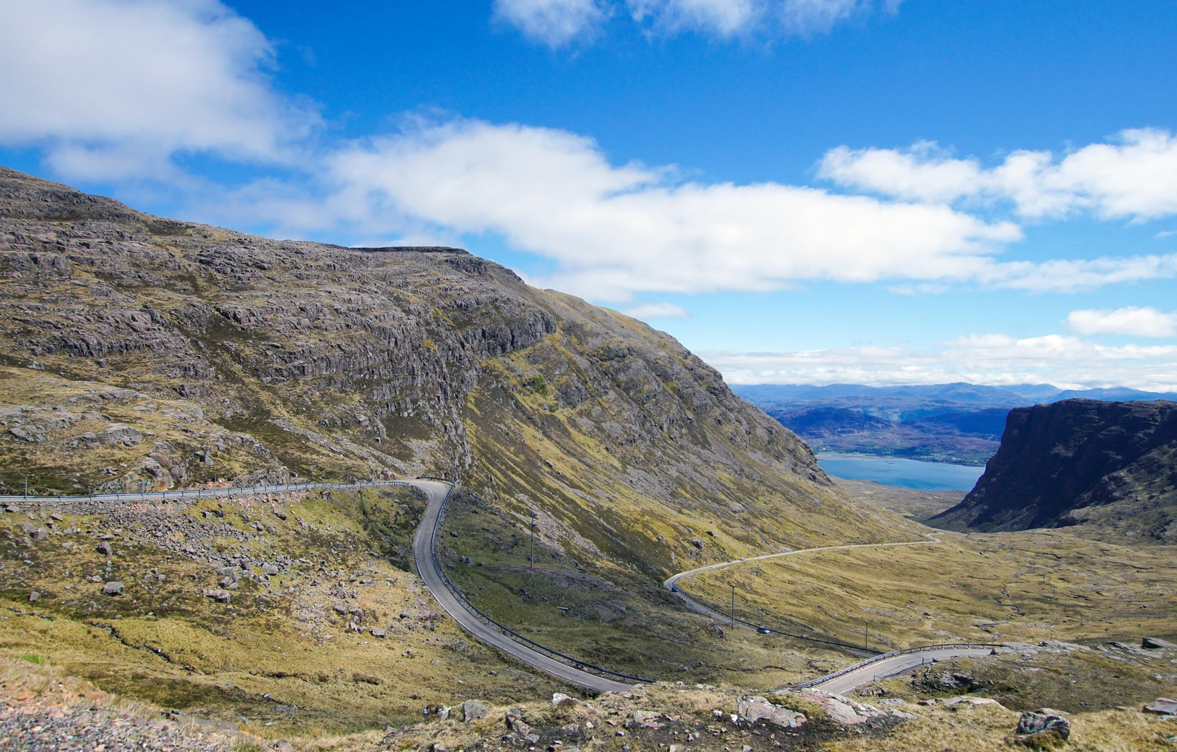
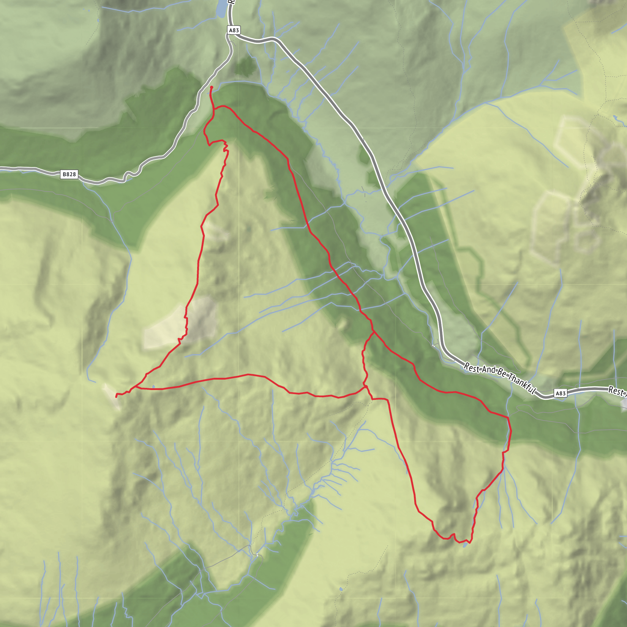
This is a serious mountain round in the Arrochar Alps, packing roughly 13 km / 8.1 miles and about 1,200 m / 3,940 ft of ascent into a compact but demanding day. The route links The Brack, Bealach Dubh-lic, Ben Donich, and the broad shoulder of Coire Culach, creating a hike that feels much bigger than the mileage suggests because of the steep gradients, repeated climbing, rough hill terrain, and the exposed nature of the ridges. Ben Donich rises to about 847 m and The Brack to about 787 m, with the connecting bealach dropping to around 384 m, which explains why this loop has such a hefty total ascent for its distance. (en.wikipedia.org)
The start is most commonly associated with the Rest and Be Thankful / Loch Restil area on the A83 in Glen Croe, rather than a formal village trailhead. The nearest widely recognized landmark is Rest and Be Thankful, Glen Croe, Arrochar, Argyll and Bute, Scotland, with parking typically used near the high point of the pass or nearby roadside parking areas around Loch Restil where access to Ben Donich is commonly taken. Ben Donich is specifically noted as usually being climbed from a parking area high near the Rest and Be Thankful pass. (walkhighlands.co.uk)
Getting there by car is the simplest option. From Arrochar, follow the A83 toward Inveraray and climb to the Rest and Be Thankful pass above Glen Croe. This is the practical access point for the loop. The road is famous, scenic, and very exposed to weather, so it is worth checking conditions before setting out, especially after heavy rain or in poor visibility. The A83 is the main road through this pass and is the modern successor to the historic military route through Glen Croe. (portal.historicenvironment.scot)
Public transport is possible, but it requires more planning. Arrochar & Tarbet station is the nearest rail access point, served by ScotRail on the West Highland line. From there, hikers usually need a taxi, a long road walk, or a carefully planned bus connection toward the A83 corridor. The Citylink 976 route passes through Arrochar on journeys between Glasgow and Oban, which can help with access to the general area, but service patterns and exact stopping arrangements for a mountain start near Rest and Be Thankful should be checked in advance. (scotrail.co.uk)
What the route feels like
Expect a steep and energetic start. From the pass, the route usually gains height quickly on a clear hill path toward Ben Donich, with little gentle warm-up. Early on, the ground is often a mix of path, stony sections, and damp patches, and after rain the route can become slick. As height is gained, the views open dramatically over Glen Croe, Loch Restil, and the surrounding Arrochar peaks. The terrain here is classic west Highland mountain country: open, exposed, and highly weather-dependent. In cloud, the broad upper slopes can feel much more committing than they do on a clear day. (walkhighlands.co.uk)
One of the key features on Ben Donich is the rougher ridge section where the path negotiates rocky ground and a notable cleft or step. In dry summer conditions, many experienced hillwalkers will find it manageable with care
Surfaces
Unknown
Dirt
Ground
Comments and Reviews
User comments, reviews and discussions about the The Brack, Bealach Dubh - lic, Ben Donich and Coire Culach Loop, Scotland.
average rating out of 5
0 rating(s)
