Download
3D Flyover
Add to list
More
26.0 km
~2 days
1797 m
Out and Back
“A vast Black Mount crossing unfolds from gentle approach to wild ridges, demanding stamina and seasoned judgment.”
This is a big, committing Black Mount traverse linking some of the wildest high ground in the southern Highlands. Over roughly 26 km / 16.2 miles, with around 1,800 m / 5,905 ft of ascent, it combines long approach tracks, steep mountain climbs, broad high ridges, and a serious point-to-point finish. Although the terrain is mostly non-technical in dry summer conditions, the scale, remoteness, and cumulative ascent make it a genuinely difficult day that suits experienced hillwalkers with strong fitness, solid mountain judgment, and careful planning.
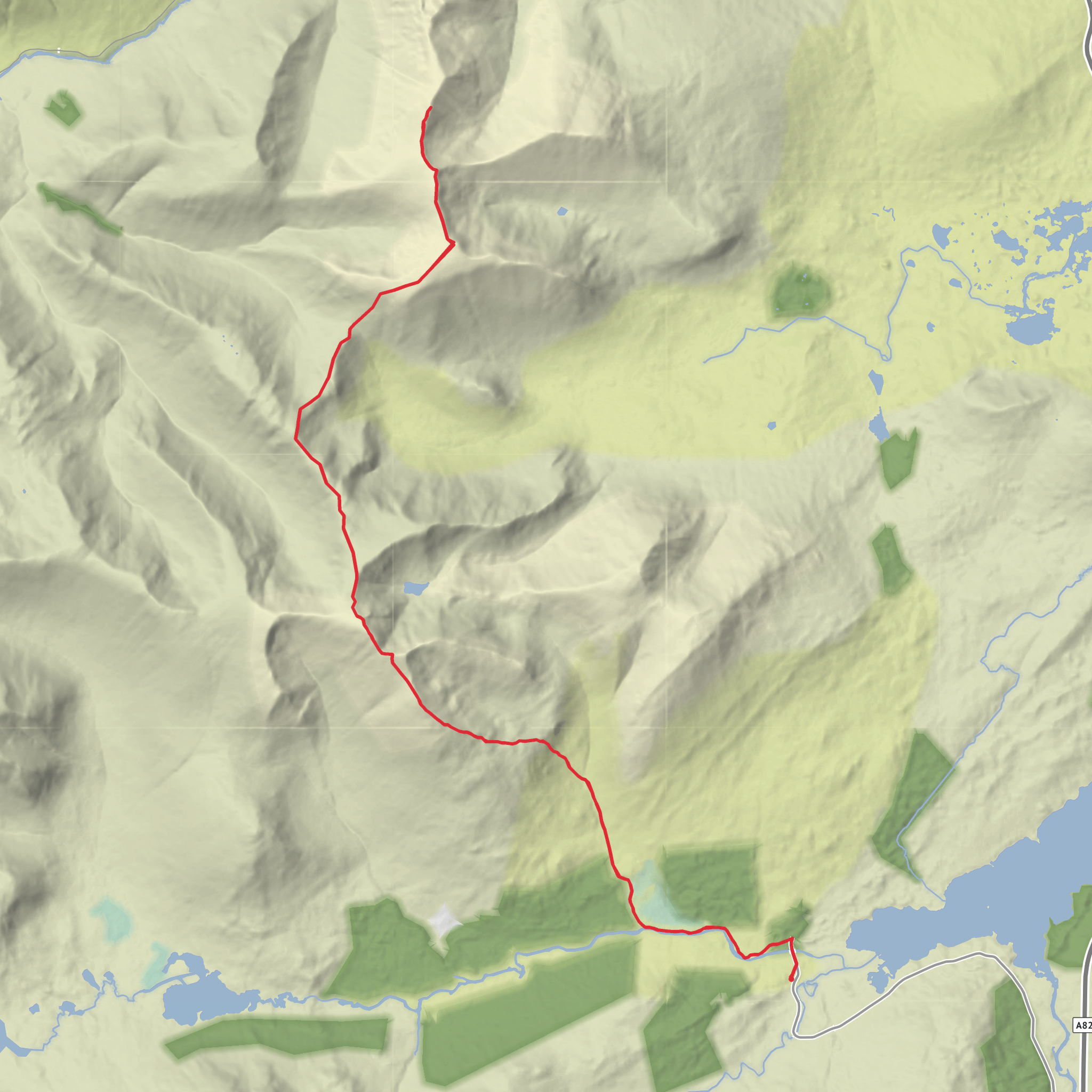
The route is generally associated with a start near Victoria Bridge / Inveroran, west of Bridge of Orchy, and a finish near Kingshouse Hotel, Glencoe on the A82. Bridge of Orchy railway station is at Station Brae, Bridge of Orchy, PA36 4AD, on the West Highland Line, and is the nearest rail access for the southern end of the route. Kingshouse Hotel is the best-known landmark at the northern end and sits beside the A82 at the edge of Rannoch Moor and Glen Coe. If you are relying on public transport, the usual strategy is to arrive by train or coach at Bridge of Orchy, walk or arrange onward access to Inveroran/Victoria Bridge, then finish at Kingshouse for a bus connection on the A82 corridor. Bridge of Orchy is served by rail and coach links, and the walk from Bridge of Orchy into Inveroran adds roughly 3 to 4 km / 1.9 to 2.5 miles before the main traverse even begins. (nationalrail.co.uk)
By car, most walkers either leave a vehicle near Bridge of Orchy/Inveroran and arrange a second car at Kingshouse, or use a shuttle/taxi plan because this is not a circuit. The start is commonly approached via the minor road past Inveroran Hotel to Victoria Bridge, a well-known access point for Black Mount routes. The finish at Kingshouse is straightforward for pickup, but because this is a long mountain day, it is wise to build in extra time for delays from weather, slow ground, or tired legs. (westhighlandwayscotland.com)
The opening section is deceptive. From Victoria Bridge, the route begins on estate tracks and rougher hill paths that ease you into the landscape rather than immediately into steep climbing. That early ground can feel relatively gentle, but it is only the prelude to a very demanding day. The first major objective is usually Stob a’ Choire Odhair, followed by Stob Ghabhar, before the traverse continues across to Clach Leathad and then Creise. Some versions continue onward to Meall a’ Bhùiridh before descending toward the ski area, but for the line you’ve specified, Creise is the key northern high point before the descent toward Kingshouse. (walkhighlands.co.uk)
Terrain and route character
Expect a mixture of stalkers’ paths, boggier lower ground, steep grassy and rocky mountain slopes, and long ridge sections where the walking becomes more exposed to wind and weather. The climb onto the first Munro is sustained, and the onward rise to Stob Ghabhar adds more effort than the map can sometimes suggest. Stob Ghabhar is one of the most dramatic mountains on the traverse, with a powerful corrie landscape and a much more rugged feel than the broader ridges later in the day. From there, the route stretches northward over high, open ground toward Clach Leathad and Creise, where navigation can become more serious in mist because the ridge is broad in places and the terrain offers several false lines and subsidiary tops. (walkhighlands.co.uk)
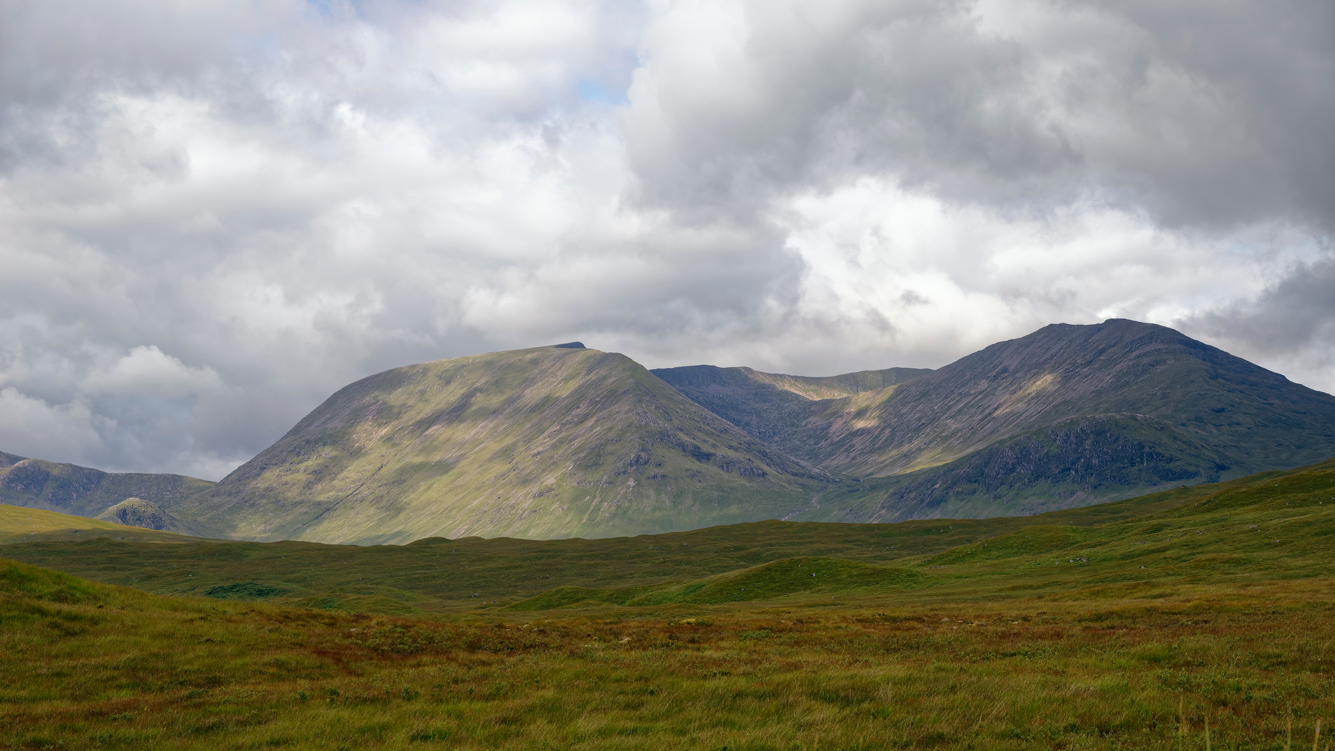
In good visibility, the ridge walking is magnificent rather than technically difficult, with huge views over Rannoch Moor, Glen Etive, Glen Coe, and the wider Black Mount massif. In poor weather, however, this same openness becomes committing. Strong winds, low cloud, and wet rock can quickly turn a long day into a serious undertaking. Snow patches can linger well into late spring on shaded aspects, and in winter or shoulder-season conditions this becomes a mountaineering day rather than a hike. For navigation, plan around HiiKER and carry the skills to use your route properly if visibility collapses on the plateau-like sections around Creise and its connecting ridges.
Landmarks, scenery, and what to notice
One of the great strengths of this route is how much the landscape changes over the day. The southern approach feels spacious and remote, with the sense of entering a large
Surfaces
Unknown
Asphalt
Dirt
Comments and Reviews
User comments, reviews and discussions about the Stob Shabhar, Clach Leathad and Creise, Scotland.
average rating out of 5
0 rating(s)
