Download
Preview
Add to list
More
12.4 km
~2 hrs 49 min
208 m
Out and Back
“A gentle island ramble of moor, sea-light, and quiet history, with weather adding wild edge.”
This easy-going circuit on the Isle of Ulva explores a quieter side of the Inner Hebrides, combining low coastal hills, open moorland, sea views across the Sound of Ulva, and one of the island’s more intriguing historic sites at Dun Bhioamuill. Expect roughly 12 km / 7.5 miles with about 200 m / 656 ft of ascent, which makes it a manageable outing for most walkers with a reasonable level of fitness, though the island setting means conditions can still feel serious in wind, rain, or poor visibility. The walk begins near the Ulva ferry jetty and Boathouse area on the eastern side of Ulva, the usual arrival point for visitors crossing from Ulva Ferry, Isle of Mull. (walkhighlands.co.uk)
Getting to the start is part of the day’s planning. By car, the practical road access is to Ulva Ferry, near Salen on the Isle of Mull, where there is daytime parking; from Craignure it is about a 45-minute drive, with the final stretch following a single-track road beside Loch na Keal. Ulva itself is car-free, so you leave the vehicle on Mull and cross as a foot passenger. By public transport, a regular bus runs from Craignure toward Tobermory via Salen, timed to connect with ferry arrivals on many days, and from Salen there is also a community transport option to Ulva Ferry that should be booked in advance. The short passenger ferry to Ulva runs on demand in season, typically from late March to late October, Monday to Friday and on Sundays in summer, but not on Saturdays, and sailings are weather dependent. (ulva.scot)
The route is generally classed as easy because the gradients are modest and there are no technical sections, but that should not be mistaken for a groomed path all the way. On Ulva, even shorter waymarked walks can be rough, boggy, and occasionally unclear underfoot, and this longer outing shares the same island character: grassy tracks, damp ground, uneven moorland, and sections where the line of travel may feel less obvious than on mainland paths. Waterproof footwear is a sensible choice in all but the driest spells, and extra care is worth taking after rain when peaty ground softens. For navigation, it is wise to have the route downloaded in HiiKER before setting out. (walkhighlands.co.uk)
What to expect on the walk
From the jetty, the first part of the walk is usually gentle and helps you settle into the landscape. You move away from the arrival point through the settled eastern end of the island, where tracks lead past the Boathouse and toward the old heart of Ulva. This area gives a good introduction to the island’s mixed character: a little managed ground, pockets of broadleaf woodland, old walls, and open views back over the water to Mull. The ascent is gradual rather than sustained, so the height gain tends to come in small increments rather than one long climb. (walkhighlands.co.uk)
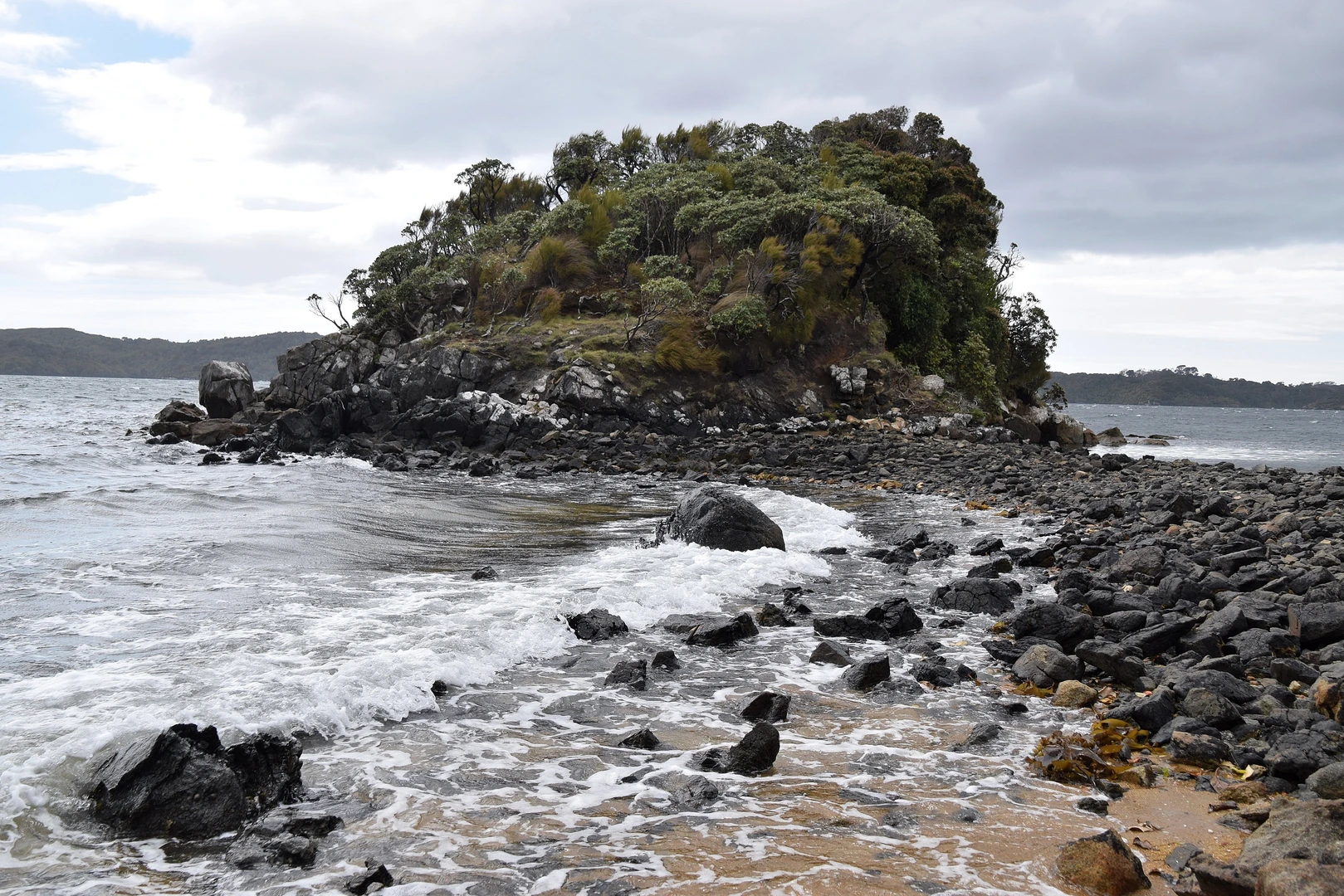
As the route stretches farther south and west toward Dun Bhioamuill, the atmosphere becomes more open and remote. The terrain broadens into rougher grassland and moor, with the sea never far away and the Sound of Ulva often visible as a shifting backdrop. On a clear day, the views are one of the main rewards: across to Mull’s dramatic hills, along indented coastline, and over a landscape shaped by both geology and long human occupation. Because the total ascent is only around 200 m / 656 ft, the walk feels more like a wandering island traverse than a hill climb, but exposed sections can be windy enough to slow progress. (walkhighlands.co.uk)
Dun Bhioamuill itself is the key landmark. It stands on a prominent rocky knoll and is recorded as an enclosure and burial ground, with archaeological notes describing a circular enclosure and the burial place of the Clarke family of Ulva. The site appears to preserve traces of an earlier circular wall beneath the later burial-ground use, which gives it a layered significance: part defensive or enclosed ancient site, part family memorial landscape. It is the sort of place that rewards a slower pause, not because of monumental ruins on a grand scale, but because of how naturally the archaeology sits within the island topography. (trove.scot)
Landscape, wildlife, and seasonal highlights
Ulva is especially appealing for walkers who enjoy quieter natural detail rather than dramatic summit objectives. Woodland sections can be rich with spring growth, and elsewhere the route passes through moor and coastal ground where birdlife is often one of the highlights. Walkhighlands specifically notes

Surfaces
Unknown
Paved
Comments and Reviews
User comments, reviews and discussions about the Sound of Ulva and Dun Bhioamuill, Scotland.
average rating out of 5
0 rating(s)