Download
3D Flyover
Add to list
More
11.8 km
~2 hrs 24 min
23 m
Loop
“A tide-timed island wander of machair, seabirds, and wide skies, rich in quiet Hebridean atmosphere.”
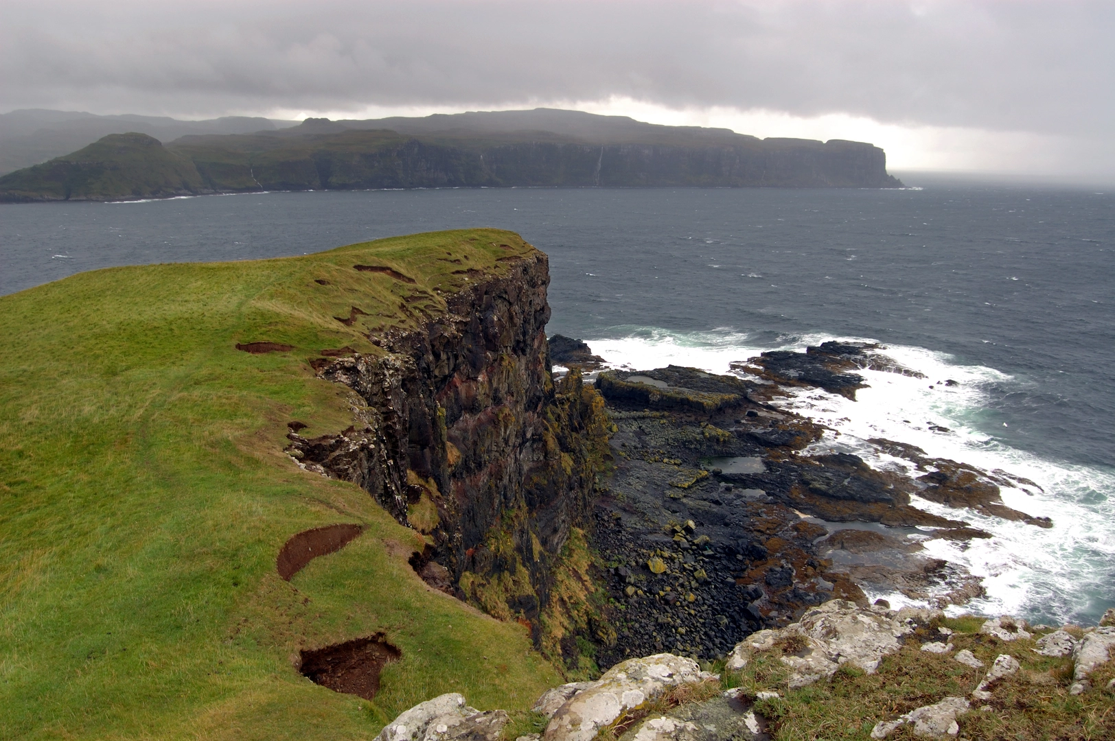
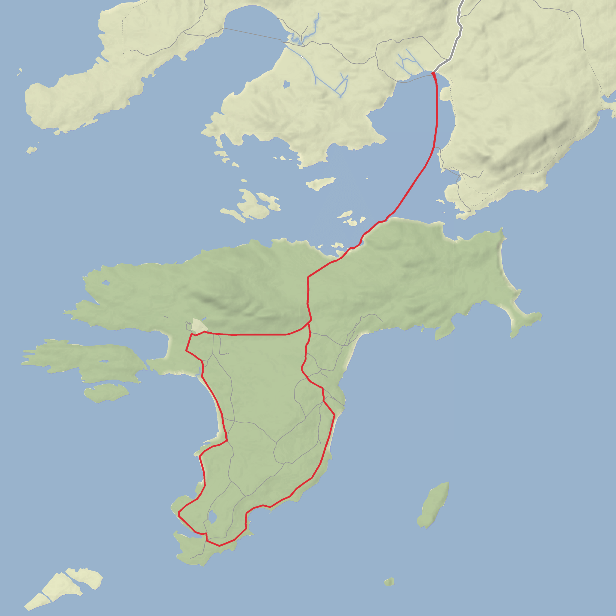
This easy coastal loop on Oronsay is less about climbing and more about timing, atmosphere, and wildlife. At roughly 12 km / 7.5 miles with almost no ascent, it is a low-lying walk across tidal sands, grassy tracks, machair, and shoreline terrain, with wide sea views for much of the route. Although the elevation gain is negligible, the outing still needs careful planning because Oronsay is cut off from Colonsay by the tide and is normally accessible only for about two hours either side of low water. The key preparation point is simple: check local tide information before setting out and leave enough margin to return before the crossing is covered. (rspb.org.uk)
The walk begins near The Strand, the tidal crossing between Colonsay and Oronsay, close to Oronsay Nature Reserve, B8085, Scalasaig, PA61 7YZ. That is the nearest clear landmark and access point for most walkers. If arriving by car on Colonsay, there is only very limited parking—about five spaces—on the Colonsay side of The Strand, and driving across onto Oronsay is not advised because of soft sand and the risk of salt damage to vehicles. (rspb.org.uk)
Getting to the start takes a little more effort than most mainland hikes, but it is straightforward once on Colonsay. Caledonian MacBrayne runs ferry services linking Oban and Colonsay, with the crossing taking about 2 hours 15–20 minutes, and there are also some sailings involving Kennacraig via Islay/Port Askaig depending on the timetable. Hebridean Air Services also operates scheduled flights between Oban Airport and Colonsay. From the ferry terminal area at Scalasaig, hikers typically continue across Colonsay toward The Strand by local road or arranged transport before walking over at low tide. Because island transport and sailings can change seasonally, it is worth checking the current ferry or flight schedule before travel. (calmac.co.uk)
The first part of the route is often the most memorable: the crossing of The Strand itself. This broad tidal causeway of sand and intertidal flats gives the walk a real sense of entering a separate island landscape. In dry, calm conditions it can feel gentle and expansive, but after rain or in windy weather it can be more exposed than the distance suggests. Waterproof footwear is often useful here, especially if there are damp patches or soft sand. Because the route is so flat, wind can be a bigger factor than gradient, and there is very little shelter once committed to the crossing. (rspb.org.uk)
What the route feels like
Once on Oronsay, the terrain stays easy-going overall, with the main walking line following estate tracks and grassy sections toward the priory and around the reserve. Expect a mixture of firm track, cropped pasture, rougher grassy margins, and coastal edges rather than steep or technical trail. With only around 0 m / 0 ft of climbing overall, this is a good option for walkers who want a longer but non-strenuous day, though the remoteness means it still deserves the same basic planning as a bigger hike: food, water, waterproofs, and enough time for the tide window. There are no facilities on the island, so bring everything you need from the start. (rspb.org.uk)
Navigation is usually uncomplicated in clear weather because the island is open and the main access line is obvious, but mist, rain, or fading light can make the low-contrast ground and shoreline junctions less distinct. For that reason, carrying the route on HiiKER is a sensible backup, especially if you plan to explore beyond the most obvious track or linger for wildlife watching.
Landmarks, wildlife, and natural interest
Oronsay is notable because the whole island is managed as a nature reserve, farmed in partnership with the owners for the benefit of species such as corncrake and chough. The reserve is also part of a wider protected landscape that includes the intertidal strand and southern Colonsay. The habitats are especially important for machair, sand dunes, marshy grassland, and coastal pasture, with notable plants including marsh orchid, moonwort, and adder’s-tongue fern. (rspb.org.uk)
Birdlife is one of the biggest reasons to slow the pace here. In spring and summer,
Surfaces
Unknown
Sand
Comments and Reviews
User comments, reviews and discussions about the Port nan Each and Oronsay Nature Reserve Loop, Scotland.
average rating out of 5
0 rating(s)
