Download
3D Flyover
Add to list
More
18.5 km
~5 hrs 2 min
800 m
Loop
“A wild Islay circuit of shining coast, lonely headlands, and boggy hills that can feel tougher than expected.”
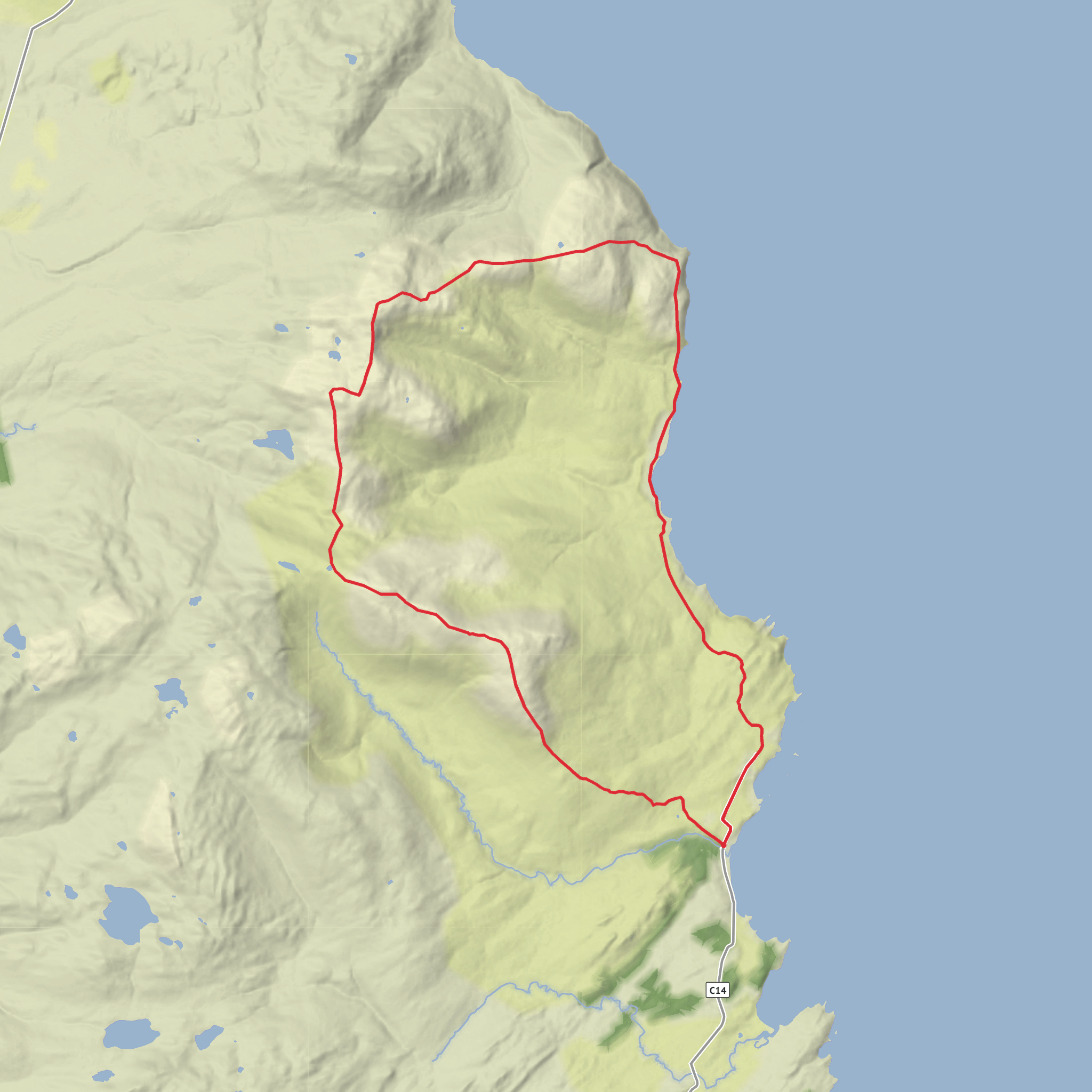
This is a big, rough hill circuit on the southeast side of Islay that links the coast at Claggain Bay with the remote headland of McArthur’s Head and the island’s highest ground around Glas Bheinn and Beinn Bheigier. Expect about 18 km / 11 miles with roughly 800–860 m / 2,625–2,820 ft of ascent, usually taking a full day because the lower ground is slow, wet, and energy-sapping rather than technically difficult. Although the overall rating sits around medium, it can feel harder than the numbers suggest when the bogs are saturated or the burns are up. (walkhighlands.co.uk)
The route starts near the small parking area at the north end of Claggain Bay, close to Ardtalla on Islay’s southeastern coast. A practical nearest landmark for the trailhead is the parking pull-in by the end of the minor road just beyond Claggain Bay and before the track toward Ardtalla, at the road end north of the bay. Walkhighlands gives the start as grid reference NR462537, and local visitor information describes this as the wee car park on the right at the end of the official road. (walkhighlands.co.uk)
Getting there by car is straightforward once on Islay. From Port Ellen, follow the road past Laphroaig, Lagavulin, and Ardbeg, continue past Kildalton Cross and Chapel, and stay on the narrowing single-track road to Claggain Bay and the road-end parking near Ardtalla. The drive itself is part of the appeal, with frequent coastal views and several worthwhile stops if you are building a full day around the hike. Public transport is much more limited: Walkhighlands lists no direct public transport to the start, so most hikers will need a car, taxi, or a drop-off arranged from Port Ellen. (walkhighlands.co.uk)
The opening section is deceptive. After the gate at the road end, the track leads toward the whitewashed house at Ardtalla, then continues across fields and increasingly wet ground. Early progress is often slowed by boggy track, tussocks, and several burn crossings. One crossing near Proaig has been noted as awkward, with improvised structures that may be unusable in high water, so recent rain can materially change the seriousness of the day. This is a route where waterproof footwear, spare socks, and careful pacing matter. For navigation, carrying the route on HiiKER is especially useful once the clearer coastal line gives way to open hillside. (walkhighlands.co.uk)
Coastal approach and McArthur’s Head side
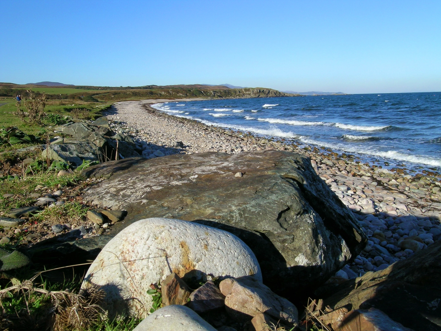
The coastal leg toward Proaig and the McArthur’s Head area gives the walk a very different character from a simple hill round. Claggain Bay itself is one of Islay’s loveliest sheltered beaches, known for its pebbles, birdlife, and open views across the water. As the route trends northward and then inland, the sea remains a constant presence, and on clear days the outlook toward Jura and the mainland adds scale well beyond the modest summit heights. (islayinfo.com)
This stretch feels remote despite being on an inhabited island. The old settlement at Proaig and the lonely farm landscape around Ardtalla reinforce that sense of isolation. The ground here is often uneven and lumpy rather than steep, which can make it surprisingly tiring. Hikers should watch for hidden ankle-turning tussocks, saturated patches, and burns that are easy in dry weather but awkward after heavy rain. In poor visibility, the transition from the coastal section to the climb inland needs attention, as there may be little in the way of a consistently obvious path. (walkhighlands.co.uk)
Climb to Glas Bheinn and Beinn Bheigier
From near Proaig, the route turns inland and climbs northwest onto rougher upland terrain between glens before curving toward Glas Bheinn. This is where the day changes from coastal wandering to serious hillwalking. The lower slopes can be wet and awkward, but higher up the ground becomes drier, rockier, and more open. Glas Bheinn, at about 472 m / 1,549 ft, is not the highest point of the day, but it is a fine viewpoint over the surrounding ridges, the Sound of Islay, and across to Jura. (walkhighlands.co.uk)
From Glas B
Surfaces
Unknown
Ground
Grass
Comments and Reviews
User comments, reviews and discussions about the Claggain Bay, McArthur's Head, Glas Bheinn and Beinn Bheigier Loop, Scotland.
average rating out of 5
0 rating(s)
