Download
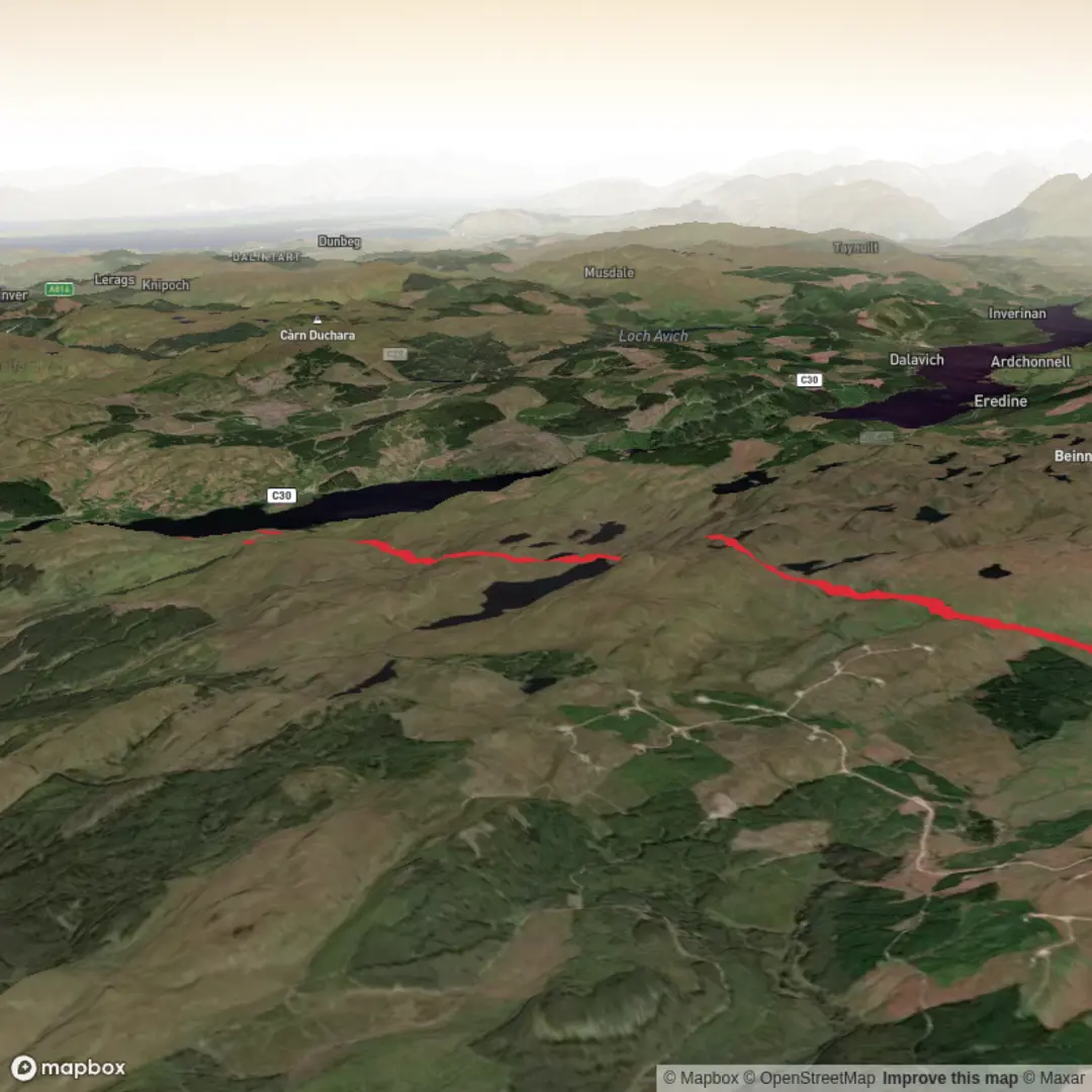
3D Preview
Add to list
More
19.2 km
~4 hrs 49 min
582 m
Out and Back
“Peat-dark lochs and far Wester Ross views make this a wonderfully remote, full-day Highland wander.”
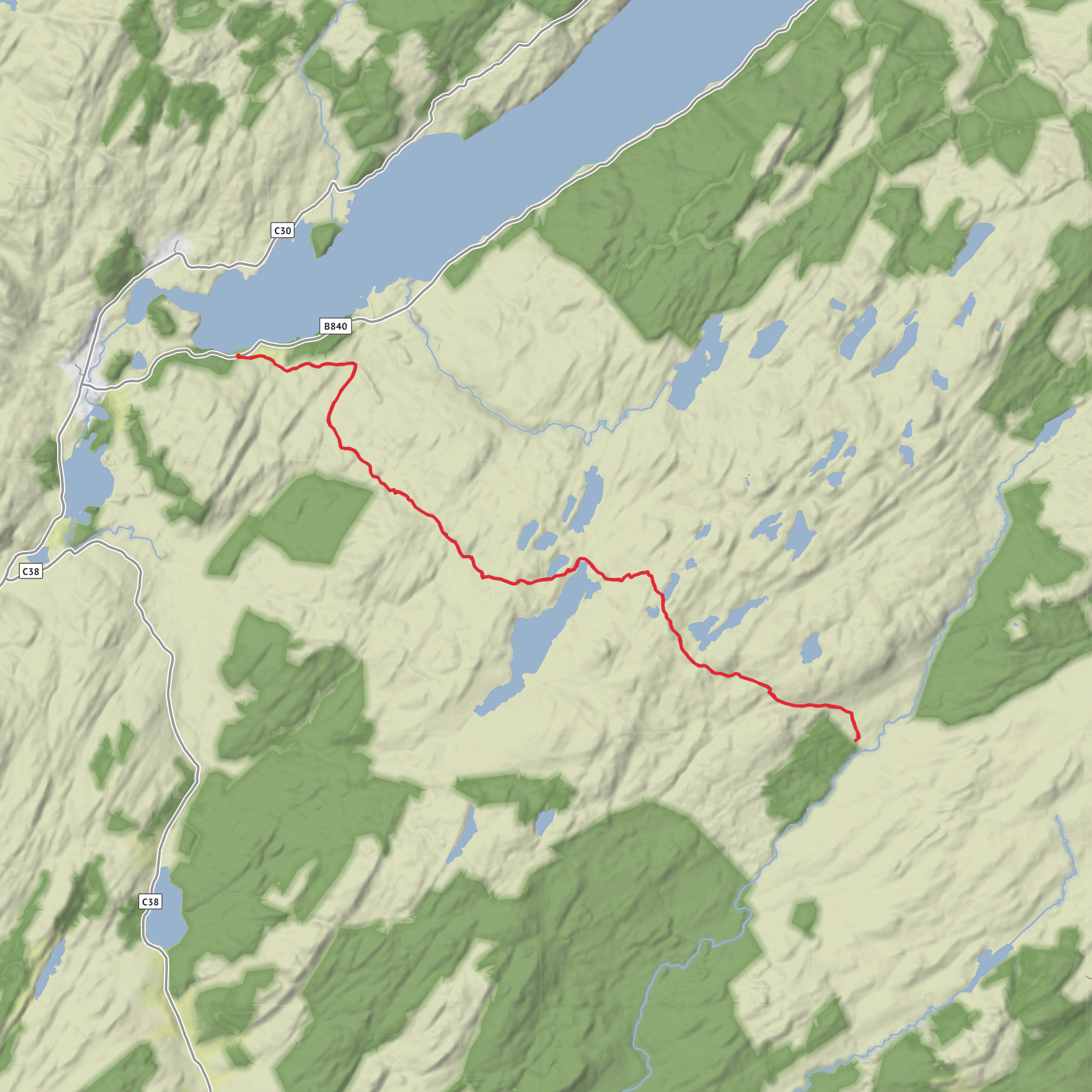
This 19 km / 11.8 mile outing to Carron Bothy via Loch Tunnaig and Loch Gaineamhach is a medium-grade Highland walk with roughly 600 m / 1,970 ft of ascent, combining estate tracks, good hill paths, rougher moorland sections, and a strong sense of remoteness. Expect a route that feels longer than the numbers suggest: the terrain is generally not technical, but the distance, changing underfoot conditions, and exposed setting mean it suits walkers who are comfortable with a full day in the hills. The character of the walk is shaped by water and open country—small lochs, broad glens, peat-dark ground, and long views toward the surrounding mountains of Wester Ross. The nearest practical trailhead area is around Tornapress on the Bealach na Bà road west of Lochcarron, near Drochaid Mhòr, a well-known bridge and roadside stopping point. (lochcarron.org.uk)
Getting to the start is easiest by car. From Lochcarron, drive west on the Bealach na Bà road toward Applecross for about 9 km / 5.6 miles to the lay-bys near Tornapress, just before Drochaid Mhòr, which is the established starting point for the Loch Gaineamhach path. Roads in this area are narrow and winding, so allow more time than the map suggests, especially in poor weather or during busy summer periods. By public transport, the nearest rail access is Achnashellach station, a request stop on the Kyle line at Achnashellach, Highland, IV54 8YH, though services are limited and onward connections are sparse; in practice, most walkers using public transport will need to combine train travel with a local taxi or bus planning via Lochcarron or Strathcarron. (lochcarron.org.uk)
The opening section is usually the most straightforward. From the lay-bys near Tornapress, the route begins on a good stalking path that heads north above the Kishorn River for about 2 km / 1.2 miles before curving northwest onto the lower slopes of Beinn Bhàn. This early stretch is useful for settling into the day: gradients are moderate, the line of travel is clear, and the landscape opens steadily behind you. After crossing a footbridge and then a ford at Allt Coire na Poite, the path continues for another 1.5 km / 0.9 miles to Loch Gaineamhach, which sits at about 285 m / 935 ft. Even on a relatively calm day, this section can feel wild because the ground around the path is open and the weather moves quickly through the corries and glens. (lochcarron.org.uk)
Around Loch Gaineamhach and the middle ground
Loch Gaineamhach is one of the key landmarks of the walk and gives the route much of its atmosphere. The loch is long, narrow, and shallow, set beneath the dramatic architecture of Beinn Bhàn’s corries. The surrounding terrain has a stripped-back Highland feel—rock, heather, sedge, and water—with little shelter once you are away from the lower track. If the route continues beyond the loch toward Carron Bothy by linking rougher paths and estate ground, this is where navigation becomes more important. Visibility can close in quickly, and the line onward may be less obvious than the well-defined approach to the loch itself. For route-finding, preloading the route on HiiKER is the most sensible way to keep track of junctions, loch-side lines, and any less distinct connecting sections. (lochcarron.org.uk)
The elevation gain on paper is moderate, but it is often accumulated in stages rather than in one single climb. That means the walk can feel deceptively steady at first, then gradually more tiring as the route undulates through lochans, boggier shelves, and rougher ground. Waterproof boots are strongly advisable, especially after rain, as fords, saturated peat, and
Surfaces
Unknown
Wood
Comments and Reviews
User comments, reviews and discussions about the Carron Bothy via Loch Tunnaig and Loch Gaineamhach, Scotland.
average rating out of 5
0 rating(s)
