Download
3D Flyover
Add to list
More
18.2 km
~4 hrs 50 min
722 m
Out and Back
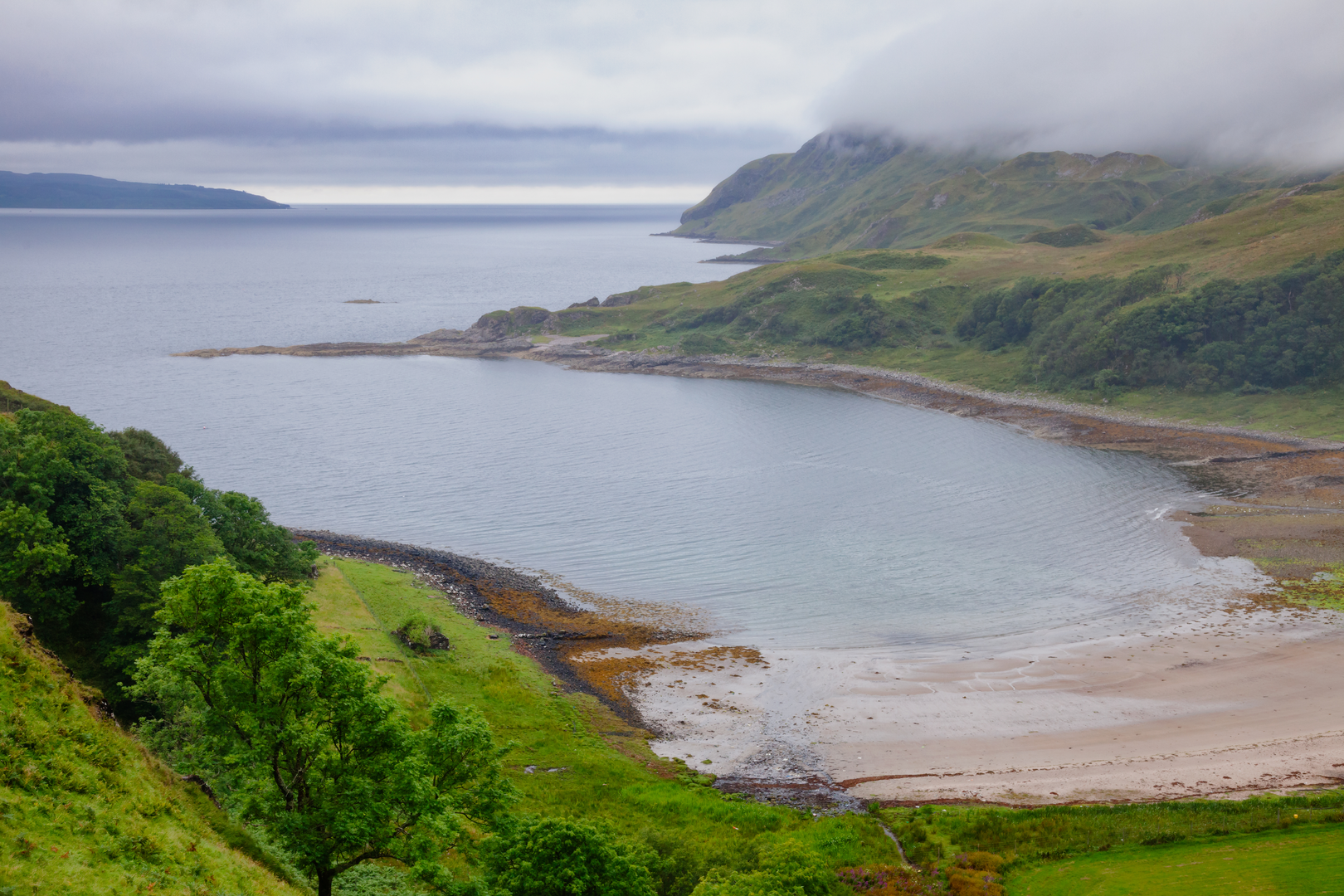
“A wild Mull wander: boggy glens, sweeping slopes, and mist-softened horizons around Beinn Talaidh.”
This is a big, open hill day on the Isle of Mull that feels much wilder than the numbers suggest. Although the outing is around 18 km / 11.2 miles with roughly 700 m / 2,300 ft of ascent, the main challenge is not technical ground so much as the combination of a long approach, steep grassy slopes, wet sections lower down, and very changeable island weather. Beinn Talaidh rises to 762 m / 2,500 ft in Mull’s mountainous interior and is often climbed from Glen Forsa, where the usual start is near the road end and track by Glen Forsa, east of Salen and west of Craignure. (walkhighlands.co.uk)
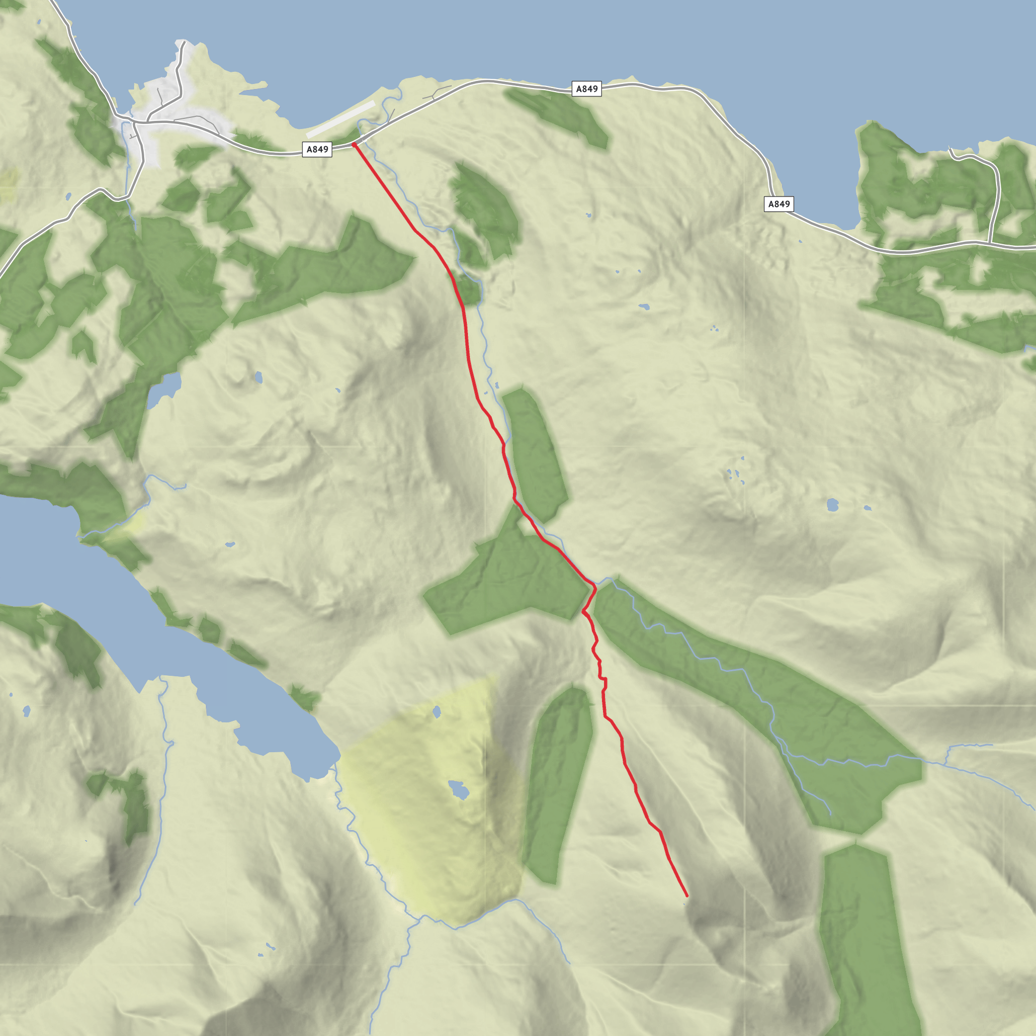
The drive-in and walk-in approach are part of the character of the route. From the roadside, the first section follows estate tracks and rougher ground into the glen before the route turns onto the broad flank of the hill. The summit itself is not especially craggy, but the upper mountain is expansive and can feel serious in mist because the terrain broadens out and the line of descent is less obvious than on a tightly defined ridge. HiiKER is the navigation tool to have ready before setting out, especially if low cloud is forecast. (walkhighlands.co.uk)
Getting to the start
For most hikers arriving from the mainland, the usual approach is to take the CalMac ferry from Oban to Craignure on Mull. CalMac’s official route page shows the Oban–Craignure service operating in 2026, with seasonal timetables published there. From Craignure, Glen Forsa lies on the main road toward Salen and Tobermory. (calmac.co.uk)
By car, the start is reached from the A849 through Glen Forsa, using roadside parking only where it is clearly safe and does not obstruct passing places or estate access. The nearest practical landmark for the start is Glenforsa / the Glenforsa road end area on the A849, between Craignure and Salen. Mull’s roads are often narrow and single-track in places, so allow extra time even for short distances. (walkhighlands.co.uk)
By public transport, West Coast Motors services between Craignure, Glenforsa and Salen can get you close to the approach. Current timetable data shows stops at Glenforsa, opp Road End, making this one of the more realistic Mull hill starts for hikers without a car, though service frequency is limited and should be checked carefully before committing to the walk. (bustimes.org)
What the route feels like
The opening kilometres are comparatively gentle. Expect track walking, glen scenery, and the sense that the mountain is still some way off. This lower section can be boggy after rain, and burns may be more awkward in spate. One notable point on the approach is a wartime aircraft propeller memorial, marking a crash on Beinn Talaidh; it is one of the most memorable landmarks on the route and gives the walk a strong sense of place before the main climb even begins. (walkhighlands.co.uk)
After the approach, the route steepens decisively as it climbs the broad hillside. This is where the day earns its medium rating. There is no scrambling in normal conditions, but the gradient can be sustained and tiring, especially if the ground is wet or the grass is slick. As height is gained, the views begin to widen dramatically across central Mull. Walkhighlands notes that around 500 m / 1,640 ft the angle eases and the outlook opens toward Loch Ba and Ben More, which dominates much of the skyline. (walkhighlands.co.uk)
The final pull to the summit is more about steady effort than obstacles. In clear weather, the top gives a broad panorama over Mull’s interior hills, sea lochs and distant coastlines. In poor visibility, however, the summit area can feel featureless, so bearings and careful descent planning matter. Many parties simply retrace the ascent route, which is usually the most straightforward option. (walkhighlands.co.uk)
Landmarks, nature and wildlife
Beinn Talaidh stands in one of the most scenic parts of Mull, an island known for a mix of moorland, rough pasture, native and plantation woodland, sea lochs and volcanic mountain forms. The mountain is the island’s prominent high summit after Ben More and sits in a landscape shaped by ancient geology and later glaciation, which explains the broad glens and sweeping upper slopes seen on this route.
Surfaces
Unknown
Asphalt
Comments and Reviews
User comments, reviews and discussions about the Ben Talaidh, Scotland.
average rating out of 5
0 rating(s)
