
Download
3D Flyover
Add to list
More
6.7 km
~1 hrs 44 min
234 m
Out and Back
“A short but wonderfully wild Jura outing, where lonely moorland and sea views outshine the modest summit.”
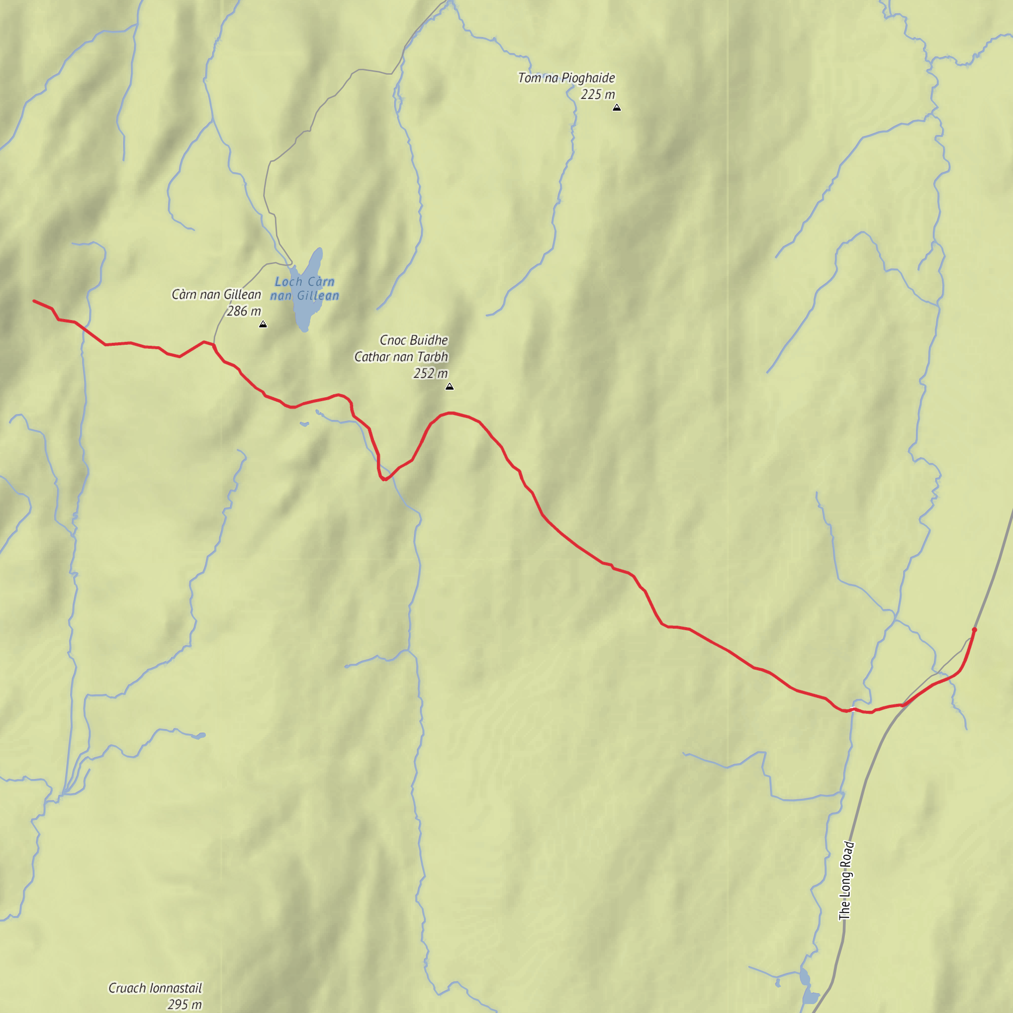
This medium-grade outing on Jura gives a fine taste of the island’s wilder side without committing you to a full mountain day. At around 7 km / 4.3 miles with roughly 200 m / 656 ft of ascent, it is a relatively short walk on paper, but Jura’s terrain can make it feel more serious than the numbers suggest. Expect rough, often wet ground, intermittent path definition, and a distinctly remote atmosphere shaped by open moor, glen scenery, and broad coastal views. Ben Garrisdale itself is a modest hill at about 365 m / 1,198 ft on Jura’s northwest side, and it stands as one of the visible landmarks in this part of the island. (commons.wikimedia.org)
The start is best understood as being near Glen Garrisdale / the Glengarrisdale bothy area on Jura’s west-northwest side, which is the clearest significant landmark associated with the hill. Geograph identifies Glengarrisdale and notes an open bothy maintained by the Mountain Bothies Association at the foot of the glen, giving a useful reference point for walkers planning the approach. (geograph.org.uk)
Getting there takes planning because Jura is lightly populated and transport links are limited. By car from the mainland, the usual route is to drive to Kennacraig Ferry Terminal, Pier Road, Kennacraig, Tarbert PA29 6YF, then take the CalMac ferry to Port Askaig, Isle of Islay PA46 7RB; that crossing takes about 1 hour 55 minutes. From Port Askaig, the vehicle ferry to Feolin Ferry Terminal, Feolin, Isle of Jura takes about 10 minutes. CalMac advises booking ahead for the mainland ferry, and current service information notes ongoing port works at Port Askaig that may cause delays. (calmac.co.uk)
If using public transport, CalMac notes that a bus from Glasgow to Kennacraig takes about 3 hours 30 minutes, connecting with the ferry network toward Islay and Jura. On Jura itself, Argyll and Bute Council’s transport review notes that Service 456 (Feolin – Craighouse – Knockrome – Inverlussa) provides a public transport connection to the Jura ferry, but for a walk in the Garrisdale area you should expect additional logistics, limited frequencies, and likely the need for a taxi, bike, or a long approach beyond the core 7 km walk. Checking ferry times and local connections in advance is essential, and for on-route planning the most relevant navigation aid to use is HiiKER. (calmac.co.uk)
What the route feels like
The walk typically begins gently through the lower glen before climbing onto rougher hillside. The first 1.5 to 2 km / 0.9 to 1.2 miles are likely to feel straightforward in gradient terms, but underfoot conditions can be soft, peaty, and uneven. Even where there is a trace on the ground, it may fade in wet grass or boggier patches, so this is not a route where distance alone tells the full story. After the easier opening, the climb steepens as you gain the shoulder of Ben Garrisdale, with most of the day’s 200 m / 656 ft ascent coming in a fairly compact middle section.
As height is gained, the character changes from glen walking to open hill terrain. Views begin to widen across the surrounding coast and inland ridges, and the sense of isolation becomes one of the route’s main rewards. Ben Garrisdale is not among Jura’s highest hills, but its position makes it a worthwhile viewpoint over a landscape of moor, broken rock, and sea-influenced weather. In clear conditions, the hill’s role as a local landmark becomes obvious. (commons.wikimedia.org)
The descent usually demands as much care as the climb. Wet grass on steeper slopes can be slippery, and the glen floor has been described as very damp with rough grassland. After rain, small burns and saturated ground can slow progress noticeably, so allowing extra time is sensible even for a short route. (geograph.org.uk)
Landmarks, wildlife, and landscape character
One
Comments and Reviews
User comments, reviews and discussions about the Ben Garrisdale, Scotland.
average rating out of 5
0 rating(s)


