Download
3D Flyover
Add to list
More
40.8 km
~2 days
1043 m
Multi-Day
“Embark on the Lost Turkey Trail, a historic and scenic trek through Pennsylvania's rugged Allegheny Mountains.”
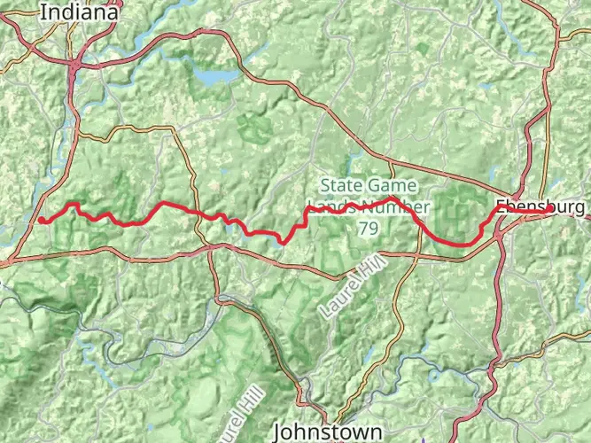
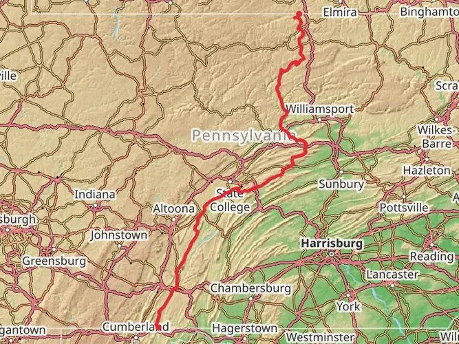
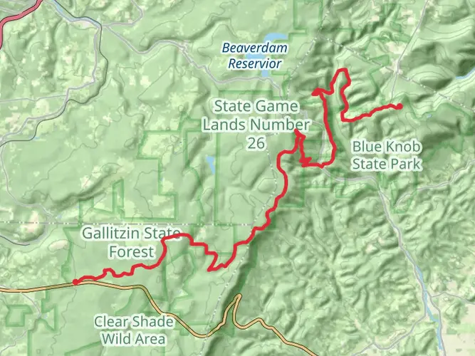
The Lost Turkey Trail is a challenging yet rewarding point-to-point hike nestled in the scenic landscapes of Bedford County, Pennsylvania. Spanning approximately 41 kilometers (25.5 miles) and featuring an elevation gain of around 1000 meters (3280 feet), this trail offers a diverse array of terrains and environments for the avid hiker.
Getting to the Trailhead
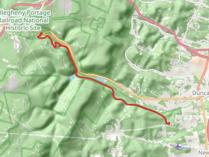
To reach the starting point of the Lost Turkey Trail, hikers can drive to the trailhead located near Blue Knob State Park, which is accessible via I-99 and PA-869. For those relying on public transportation, options may be limited, and a combination of buses and taxis might be necessary to arrive at the vicinity of the trailhead.
Navigating the Trail
The trail itself is well-marked, but due to its length and varying conditions, it's recommended to use a reliable navigation tool like HiiKER to keep track of your progress and ensure you're on the right path. The trail is characterized by its mixed hardwood forests, which come alive with vibrant colors during the fall. Springtime brings a burst of wildflowers, adding a splash of color to the landscape.
Landmarks and Scenery
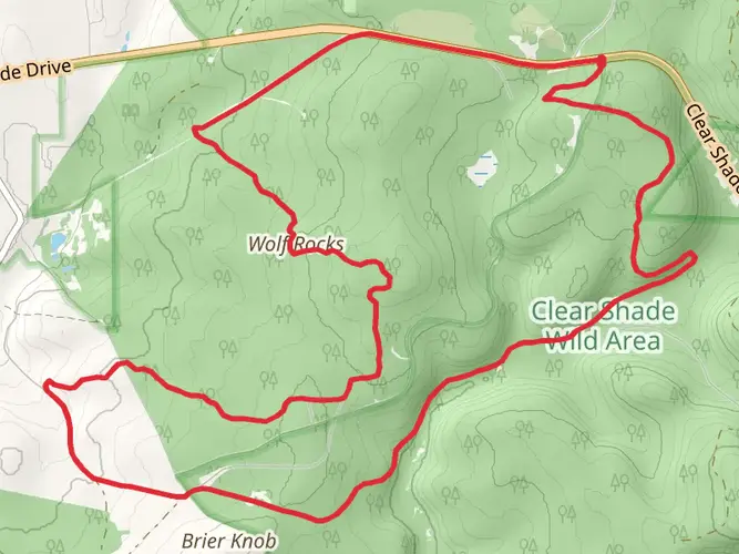
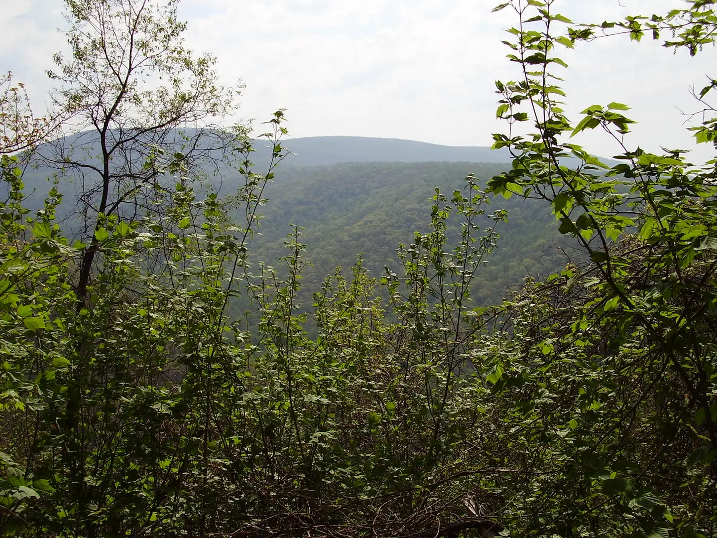
As you embark on your journey, you'll encounter the picturesque vistas of the Allegheny Mountains. The trail meanders through several state game lands, offering the chance to spot local wildlife such as white-tailed deer, black bears, and a variety of bird species. Be sure to keep a respectful distance from any wildlife you encounter.
Historical Significance
The region is steeped in history, with the trail itself taking its name from a local legend about a turkey that was lost by early settlers in the area. The surrounding lands have seen the passage of Native Americans, settlers, and even played a role during the Civil War, providing a rich historical backdrop to your hike.
Preparation and Planning
Given the trail's medium difficulty rating, it's important to prepare adequately. Ensure you have enough water, food, and appropriate gear for changing weather conditions. The trail can be rocky and steep in places, so sturdy hiking boots are a must. It's also wise to inform someone of your hiking plans and expected return time due to the remote nature of the trail.
Elevation and Distance
The trail's elevation gain is gradual but can be strenuous, so pace yourself, especially if you're planning to complete the hike over multiple days. There are several shelters along the route for overnight stays, but they operate on a first-come, first-served basis.
Remember, the Lost Turkey Trail is a point-to-point hike, so you'll need to arrange transportation back to your starting point or leave a vehicle at the end of the trail if you're not planning to hike back. The endpoint is near the town of Windber, PA, which can be reached by local roads connecting to PA-56.
By taking the time to plan and prepare, your trek along the Lost Turkey Trail will be an unforgettable adventure through the heart of Pennsylvania's wilderness, filled with natural beauty and historical intrigue.

What to expect?
Activity types
Frequently asked questions
How long does it take to hike the Lost Turkey Trail in Bedford County, Pennsylvania?
The Lost Turkey Trail is 40.76 km, or about 25.5 miles, so most hikers treat it as a 2-day backpacking trip. Strong hikers sometimes complete it in a long single day, but the 1,043 m of climbing and the tougher northern section near Little Break Hollow make it a bigger effort than the mileage alone suggests.
Where does the Lost Turkey Trail start and end near Blue Knob State Park?
The southern terminus of the Lost Turkey Trail is at the Babcock picnic area, and the route runs north toward Blue Knob State Park. It crosses Gallitzin State Forest, State Game Lands, and Blue Knob State Park, making it a true point-to-point hike rather than a loop.
Is the Lost Turkey Trail hard, and what is the terrain like?
The Lost Turkey Trail is generally a medium-difficulty route, but parts of it feel more strenuous because it covers 40.76 km with 1,043 m of elevation gain. The first miles along Pot Ridge are described as relatively mild, then the trail becomes more challenging after Little Break Hollow, including the climb over Hog Back Ridge and a crossing of Bobs Creek by cable bridge.
Can you camp on the Lost Turkey Trail in Pennsylvania?
Overnight camping is allowed on the Lost Turkey Trail only where it passes through Gallitzin State Forest. The route also crosses Blue Knob State Park and State Game Lands, but the state forest section is the part specifically identified for backpacking camps along the trail corridor.
How is the Lost Turkey Trail marked, and is it easy to follow?
The Lost Turkey Trail is marked with red blazes. It is an established long-distance route through Gallitzin State Forest, State Game Lands 26, and Blue Knob State Park, but at roughly 26 miles end to end, navigation still matters, especially where the trail system connects with other park and forest paths.
What are the main landmarks on the Lost Turkey Trail?
Notable features on the Lost Turkey Trail include Pot Ridge, Little Break Hollow, Forks Ridge, Bobs Creek, and Hog Back Ridge. The route also links the Babcock picnic area with the Blue Knob State Park area, so it combines ridge walking, forested sections, creek scenery, and higher-elevation mountain terrain in one traverse.
What is the best time of year to hike the Lost Turkey Trail near Blue Knob State Park?
Late spring through fall is the most practical window for the Lost Turkey Trail. Blue Knob State Park sits at high elevation and is known for cooler temperatures and heavy winter snowfall, so snow, ice, and slower travel are more likely outside the main hiking season.
Comments and Reviews
User comments, reviews and discussions about the Lost Turkey Trail, Pennsylvania.
4.44
average rating out of 5
9 rating(s)