Download
3D Flyover
Add to list
More
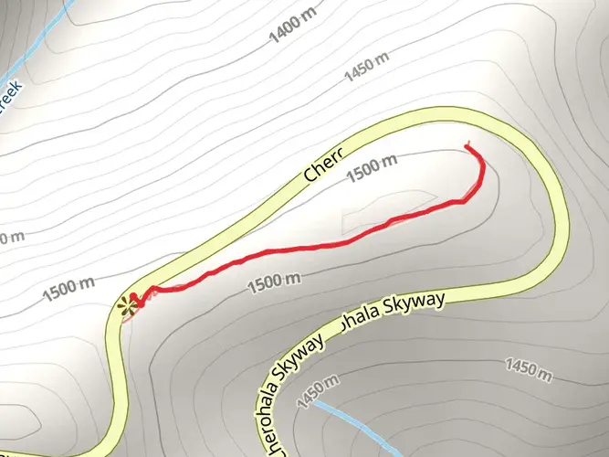
1.1 km
~14 min
11 m
Out and Back
“Embark on a serene yet historically rich hike along the scenic Cherohala Skyway trail.”
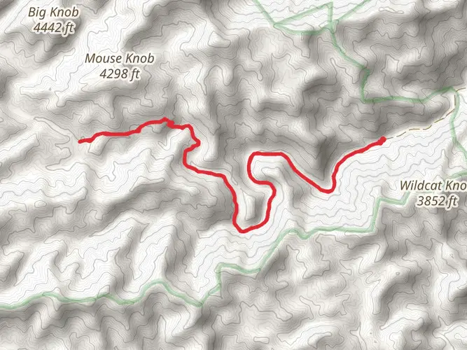
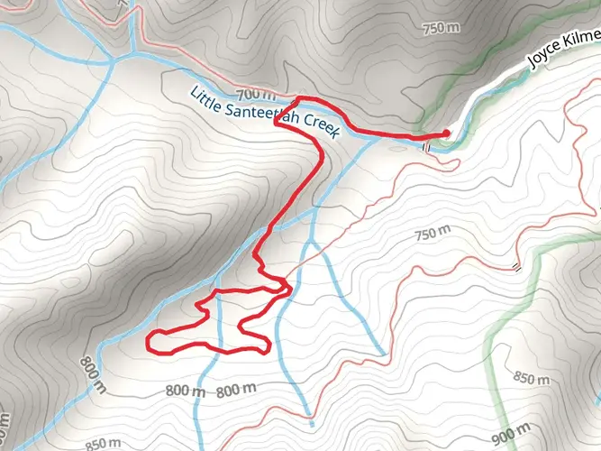
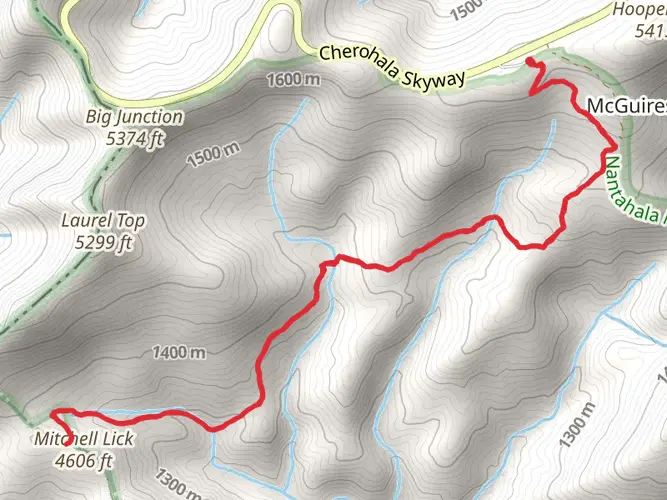
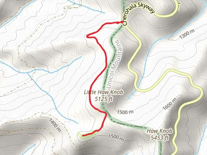
The Cherohala Skyway trail, nestled near Graham County in North Carolina, offers a unique hiking experience that spans approximately 1 kilometer (0.62 miles) with minimal elevation gain, making it accessible for hikers of varying abilities. This out-and-back trail is rated medium in difficulty, likely due to the terrain and navigation rather than the physical exertion required.
Getting to the Trailhead
To reach the starting point of the Cherohala Skyway trail, hikers can drive to a designated parking area near Graham County. For those relying on public transportation, options may be limited due to the rural nature of the region, so checking local transit resources for the nearest routes and schedules is advisable. Once at the trailhead, hikers should prepare for a journey that is both scenic and historically rich.
Navigating the Trail
As you embark on the Cherohala Skyway trail, you'll find that the path is well-defined, though carrying a navigation tool like HiiKER is recommended to enhance your hiking experience and ensure you stay on track. The trail meanders through a diverse landscape, offering views of the surrounding mountains and valleys that are particularly breathtaking during the fall when the foliage displays vibrant colors.
Landmarks and Nature
Along the trail, hikers will encounter a variety of natural landmarks. Keep an eye out for the diverse flora and fauna that call this area home. The region is known for its rich biodiversity, including hardwood forests that house a multitude of bird species, making it a haven for birdwatchers.
Historical Significance
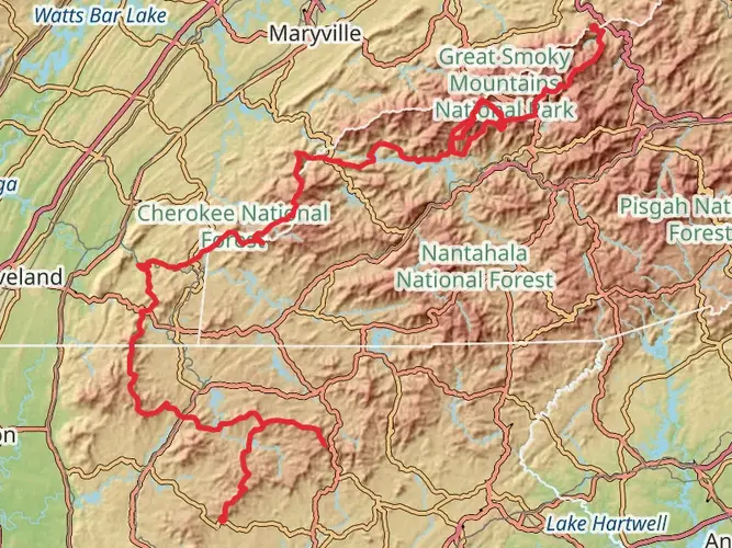
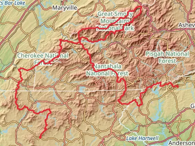
The Cherohala Skyway trail runs through an area steeped in history. The trail's name itself is a portmanteau of the two National Forests it connects: the Cherokee in Tennessee and the Nantahala in North Carolina. This region was once traversed by indigenous peoples, and later by European settlers, and has played a significant role in the cultural development of the area.
Preparation and Planning
Before setting out, hikers should ensure they have adequate water, as there are no facilities along the trail. The weather can change rapidly in the mountains, so layered clothing is advisable. While the trail is relatively short, sturdy footwear is recommended due to the uneven and potentially rocky terrain.
Remember, the Cherohala Skyway trail may be brief in distance, but it offers a rich experience that combines natural beauty with a touch of historical intrigue. Whether you're looking to enjoy a quick hike or immerse yourself in the natural and cultural tapestry of the region, this trail provides an excellent opportunity for exploration.

What to expect?
Activity types
Comments and Reviews
User comments, reviews and discussions about the Cherohala Skyway, North Carolina.
4.59
average rating out of 5
17 rating(s)