Hiking trails in St. Charles County
Missouri · 29 HiiKER Hikes
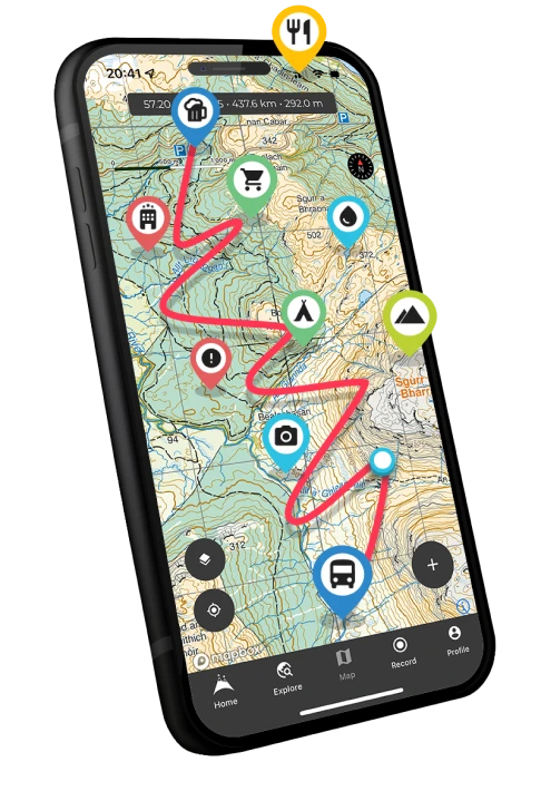
View Hikes on map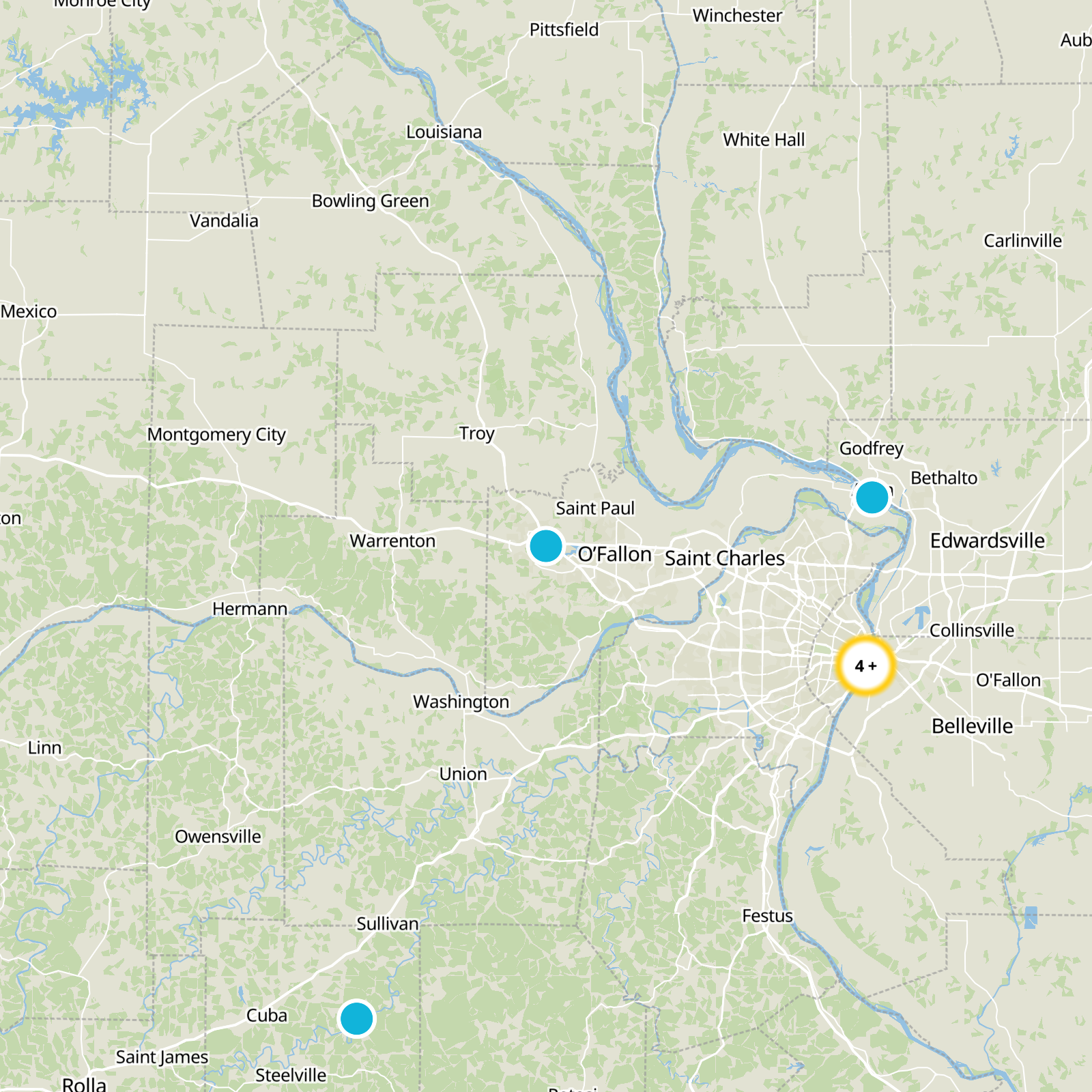
What to expect
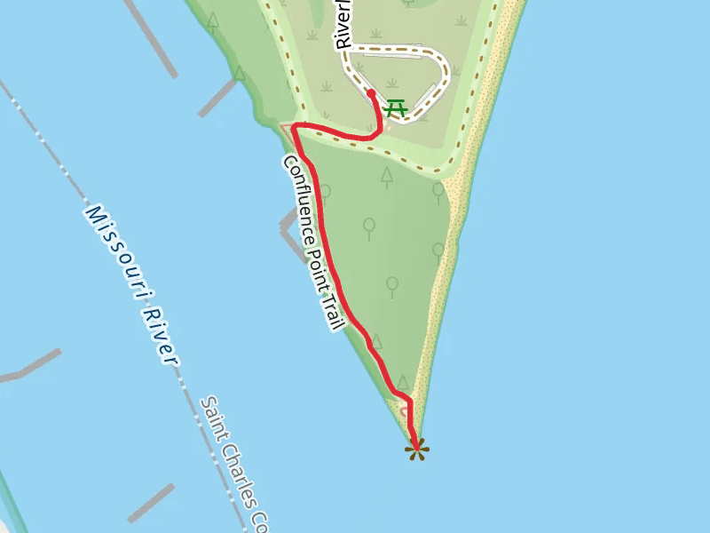
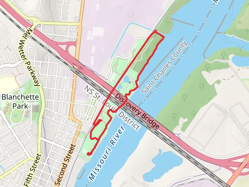
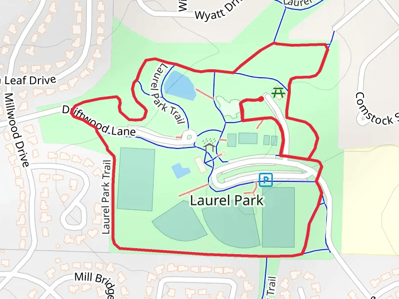
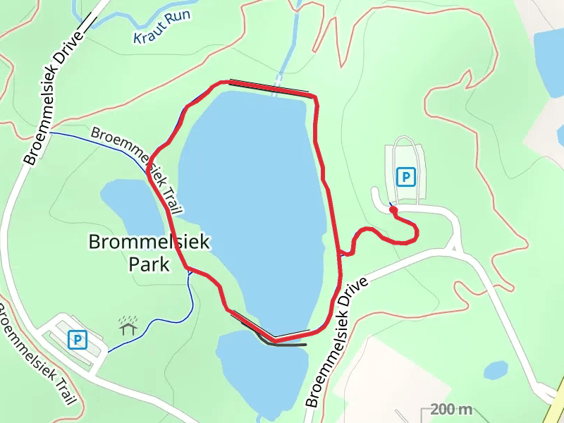
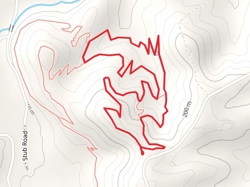
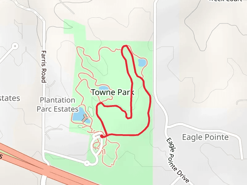
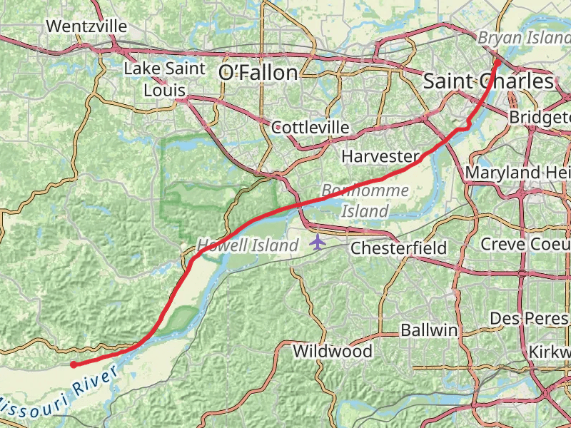
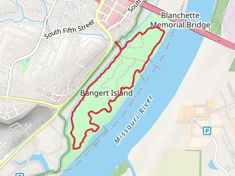
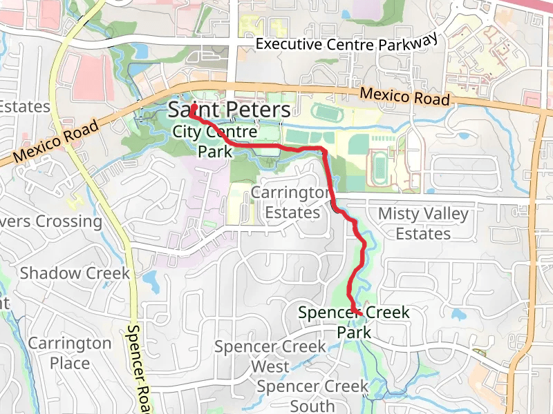
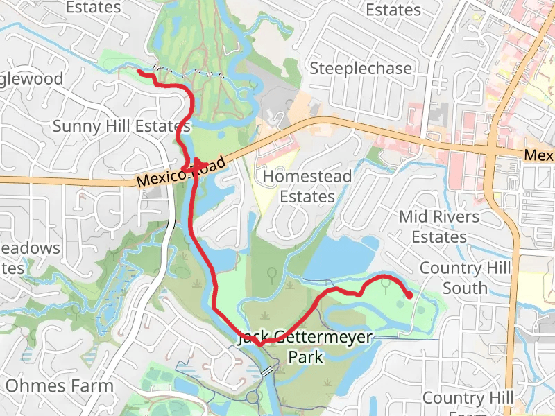
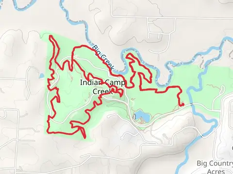
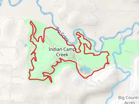
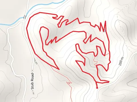
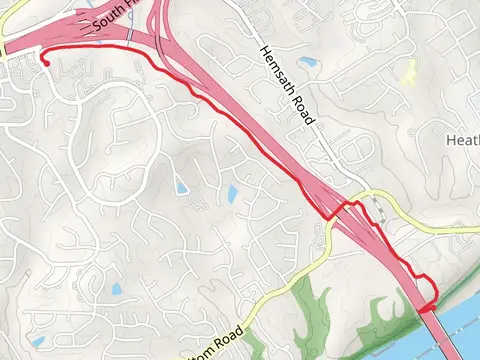
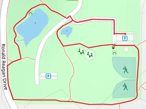
Check out some of the best hiking, walking and backpacking routes in St. Charles County, Missouri. The Bangert Island Loop is the most popular trail. The trails have 1365 user reviews with great photos and information. There are trails of various difficulty levels including easy, medium, and difficult. The trail with the highest elevation climb is the Matson Hill Road Loop - North and the trail with the least amount of climbing is the Confluence Point Trail. The longest trail is the Katy Trail - Augusta at 46.8 km. For a shorter adventure you can try the Pine Loop Trail at 391 m. Get off line access to Healthcare, Fastfood, Shelter, and Viewpoint locations and much more with a Hiiker subscription.
Be prepared for hiking in Missouri with the HiiKER app