Download
3D Flyover
Add to list
More
37.9 km
~2 days
197 m
Point-to-Point
“Explore history and nature on the scenic Southern New England Trunkline Trail's gentle, storied path.”
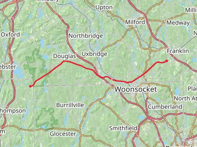
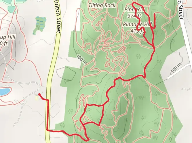
Embarking on the Southern New England Trunkline Trail offers a unique journey through the scenic landscapes of Massachusetts and Rhode Island. This 38 km (approximately 23.6 miles) point-to-point trail begins near Norfolk County, Massachusetts, and is estimated to have a medium difficulty rating, making it accessible for most hikers with a moderate level of fitness. With an elevation gain of around 100 meters (328 feet), the trail provides a relatively gentle ascent, allowing hikers to enjoy the natural beauty without overly strenuous climbs.
Getting There
To reach the trailhead, you can drive to the vicinity of Norfolk County, Massachusetts. For those relying on public transport, the nearest significant landmark is the Franklin/Dean College MBTA station, which is approximately 10 miles from the trailhead. From there, a taxi or rideshare service can be used to reach the starting point.
Trail Highlights and Landmarks
The Southern New England Trunkline Trail is rich with historical significance, as it follows the path of a former railroad line. This historical context adds an intriguing layer to your hike, as you traverse a route once used for transporting goods and passengers in the early 20th century. Along the trail, you will encounter remnants of this bygone era, including old railway bridges and stone culverts, which serve as reminders of the region's industrial past.
Nature and Wildlife
The trail meanders through a diverse array of ecosystems, offering hikers the chance to experience the natural beauty of Southern New England. As you progress along the trail, you'll pass through dense woodlands, open fields, and wetlands, each hosting a variety of flora and fauna. Keep an eye out for white-tailed deer, red foxes, and a plethora of bird species, including the vibrant Eastern Bluebird and the elusive Barred Owl.
Navigation and Trail Conditions
The Southern New England Trunkline Trail is well-marked, but it's always wise to have a reliable navigation tool on hand. HiiKER is an excellent resource for detailed maps and real-time trail updates. The trail surface varies from packed dirt to gravel, with some sections potentially muddy after rain, so sturdy hiking boots are recommended.
Planning Your Hike
Given the trail's length, many hikers choose to tackle it over two days, allowing for a more leisurely pace and the opportunity to fully appreciate the surroundings. There are several access points along the trail, providing flexibility for shorter hikes if desired. Be sure to pack sufficient water and snacks, as amenities are limited along the route.
Whether you're drawn by the historical intrigue or the natural beauty, the Southern New England Trunkline Trail offers a rewarding hiking experience that captures the essence of New England's charm.

What to expect?
Activity types
Comments and Reviews
User comments, reviews and discussions about the Southern New England Trunkline Trail, Massachusetts.
average rating out of 5
0 rating(s)