Download
3D Flyover
Add to list
More
37.4 km
~2 days
177 m
Multi-Day
“Embark on the Southern England Trunkline Trail for a historical and scenic medium-difficulty hike in Norfolk County.”
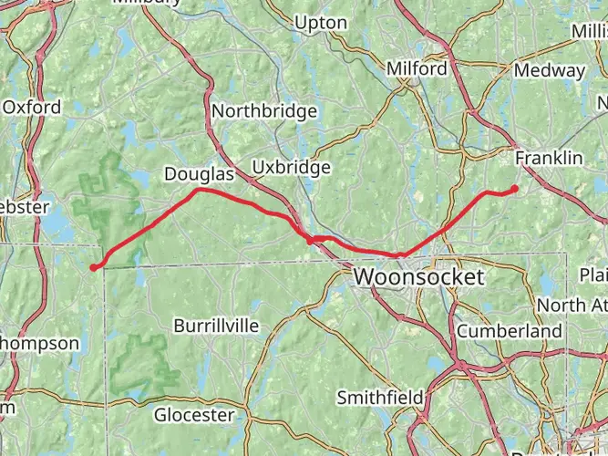
The Southern England Trunkline Trail, stretching approximately 37 kilometers (about 23 miles), offers a unique journey through the heart of Norfolk County, Massachusetts, with a modest elevation gain of around 100 meters (328 feet). This point-to-point trail is rated medium in difficulty, making it accessible to hikers with some experience looking for a day-long adventure.
Getting to the Trailhead
To reach the starting point of the Southern England Trunkline Trail, hikers can drive to the vicinity of Norfolk County, where parking is available near the trailhead. For those opting for public transportation, local bus services can be used to get close to the starting point, followed by a short walk to the trailhead itself.
Navigating the Trail
As you embark on the trail, you'll find that the path is well-defined, but it's always wise to have a reliable navigation tool like HiiKER to ensure you stay on track. The trail is marked periodically, but due diligence with navigation will enhance your hiking experience.
Landmarks and Scenery
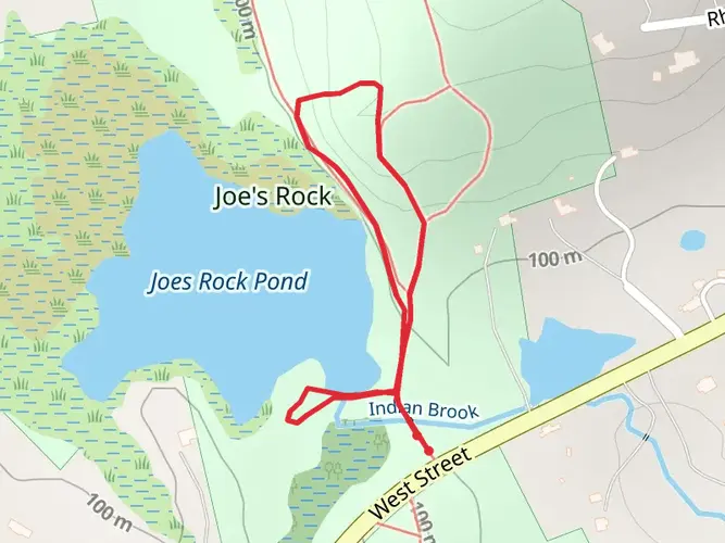
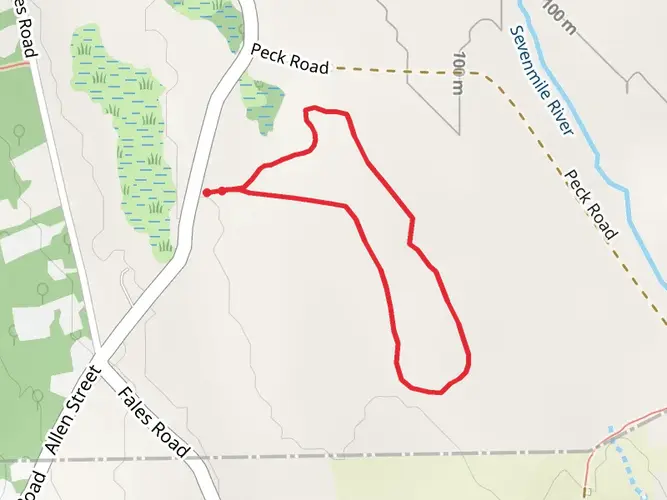
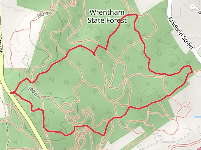
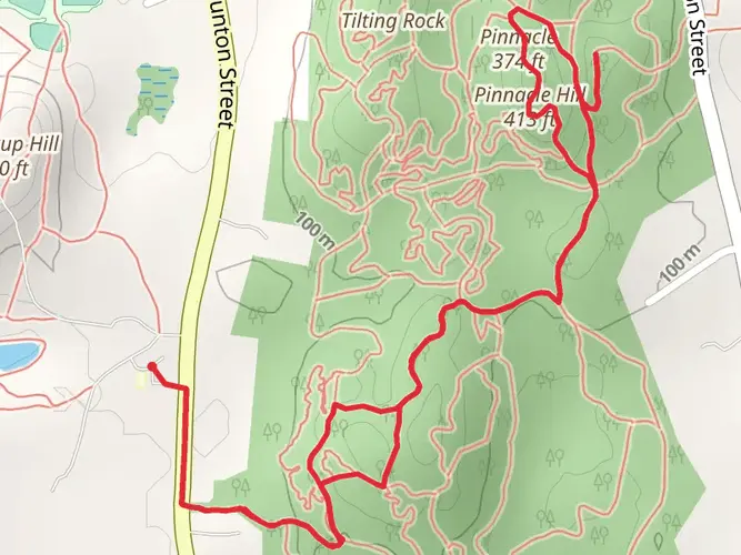
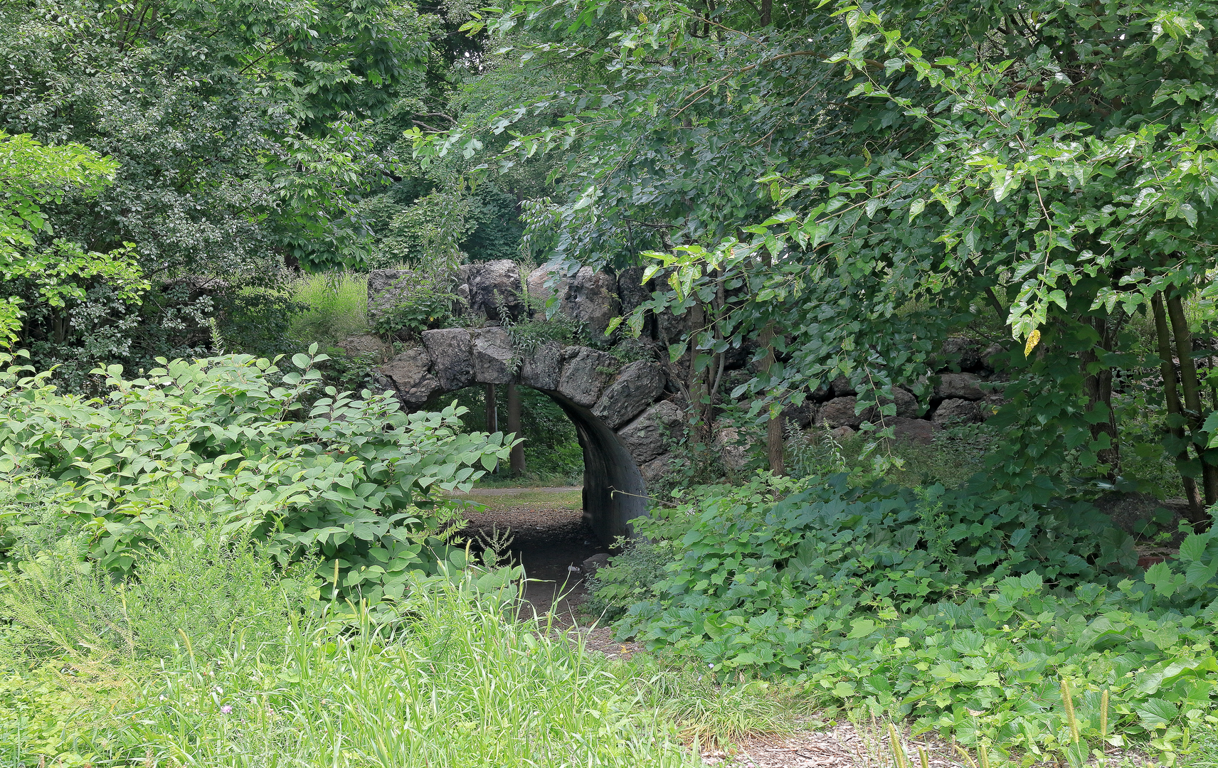
The trail meanders through a variety of landscapes, including dense woodlands, open fields, and wetlands. Notable landmarks along the way include old railroad bridges and remnants of the historical rail line that once connected this part of New England. The trail itself is part of a larger network that follows the old railbed, offering a glimpse into the region's past.
Wildlife and Nature
As you traverse the trail, keep an eye out for the diverse wildlife that inhabits the area. Birdwatchers will delight in the variety of species that can be spotted among the trees and in the sky. The trail also passes through areas of lush vegetation, with seasonal wildflowers adding splashes of color to the green backdrop.
Historical Significance
The Southern England Trunkline Trail is steeped in history, with its route following the old Southern New England Trunkline, a railroad that played a significant role in the development of the region. As you hike, you'll be walking a path that was once vital for transporting goods and people across Massachusetts.
Preparation and Planning
Before setting out, ensure you have adequate water and food for the journey, as there are limited facilities along the trail. Dress in layers to adapt to changing weather conditions, and wear sturdy footwear suitable for the varied terrain you'll encounter. It's also advisable to check the weather forecast and trail conditions in advance.
Remember, the trail is 37 kilometers long, so plan your time accordingly. Most hikers will complete the trail in a full day, but your pace may vary. There are no significant elevation changes to contend with, making for a relatively steady hike throughout.
By preparing properly and respecting the natural and historical significance of the Southern England Trunkline Trail, hikers can look forward to an enriching outdoor experience in the heart of Norfolk County.

What to expect?
Frequently asked questions
How long does it take to hike the Southern England Trunkline Trail end to end?
The Southern England Trunkline Trail is 37.37 km, or about 23.2 miles, so most hikers treat it as a full-day outing or split it into two easier days. With only 177 m of total elevation gain and a rail-trail profile, strong walkers can cover it in roughly 7 to 10 hours depending on pace, stops, and shuttle logistics.
Where does the Southern England Trunkline Trail start and finish in Massachusetts?
The route runs across southern Massachusetts between Douglas State Forest and Franklin State Forest. Along the way it passes through Douglas, Uxbridge, Millville, Blackstone, Bellingham, and Franklin, following the former rail corridor across Norfolk County and neighboring communities.
Is the Southern England Trunkline Trail difficult, and is it good for beginners?
The Southern England Trunkline Trail is generally an easy hike. Its 37.37 km length makes it a long outing, but the elevation gain is only 177 m, so the challenge comes more from distance and time on foot than from steep climbing.
What is the surface like on the Southern England Trunkline Trail?
The Southern England Trunkline Trail follows a former railroad bed, so the grade is typically gentle and consistent. Sections are improved with stabilized aggregate, including an accessible 10-foot-wide segment in Bellingham between Route 126 and Center Street, while other stretches are more typical gravel or compacted rail-trail surface.
Can the Southern England Trunkline Trail be done as a day hike?
Yes, the Southern England Trunkline Trail can be done in a single day, but at 37.37 km it is a long point-to-point hike rather than a casual walk. Many hikers choose a shorter out-and-back from one access point, especially in towns like Franklin, Bellingham, Blackstone, or Douglas, to keep the mileage more manageable.
Is the Southern England Trunkline Trail accessible for strollers, wheelchairs, or easy walking?
Some parts of the Southern England Trunkline Trail are more accessible than others because the route is being upgraded in phases. A documented example is the Bellingham section from Route 126 to Center Street, which has a 10-foot-wide accessible stabilized-soil surface, while other sections remain more natural rail-trail tread better suited to walking, running, or bikes.
What towns and landmarks does the Southern England Trunkline Trail pass through?
The Southern England Trunkline Trail crosses six Massachusetts towns: Douglas, Uxbridge, Millville, Blackstone, Bellingham, and Franklin. It links major green spaces including Douglas State Forest and Franklin State Forest and forms part of a broader regional trail network tied to the Blackstone River Valley and the Connecticut state line connection.
Comments and Reviews
User comments, reviews and discussions about the Southern England Trunkline Trail, Massachusetts.
4.71
average rating out of 5
7 rating(s)