Search a hike or location

search
GET PRO+
Share:

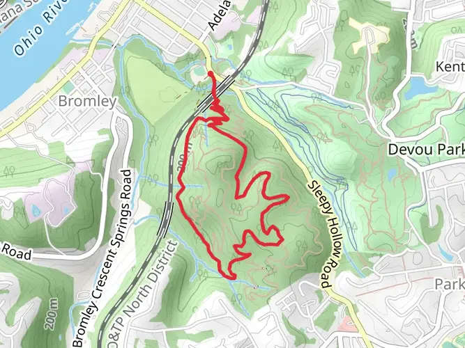
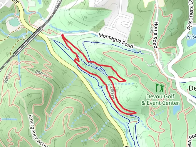
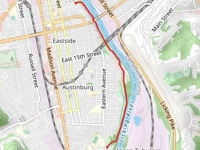
An image depicting the trail Deverill St - 466–498 and its surrounding area.
star 5.0 (1) · Medium

Deverill St - 466–498

Kenton County, Kentucky

Photos (1)
arrow_circle_down

Download

play_arrow

3D Flyover

bookmark_border

Add to list


Trail length

3.7 km

Time

~53 min

Elevation Gain

86 m

Hike Type

Loop

BarbratheExplorer avatar
Created by BarbratheExplorer

Surfaces

info

Dirt

96% · 3.56km

Unknown

4.4% · 0.16km

Comments and Reviews

User comments, reviews and discussions about the Deverill St - 466–498, Kentucky.

5.0 star

average rating out of 5

1 rating(s)

View Map

Deverill St - 466–498 mobile static map

Nearby Hikes

Choose which optional cookies and similar technologies HiiKER can use on this device. Privacy & cookie policy