Download
3D Flyover
Add to list
More
Trail length
11.7 km
Time
~3 hrs 4 min
Elevation Gain
441 m
Hike Type
Out and Back
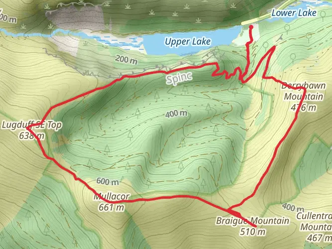
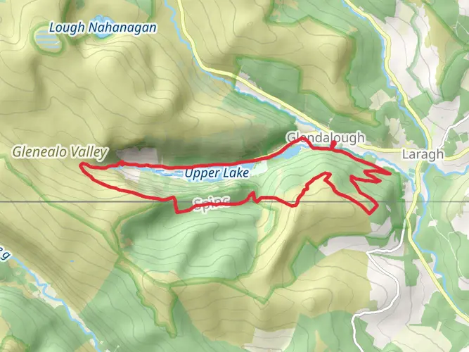
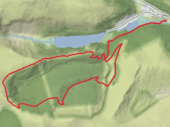
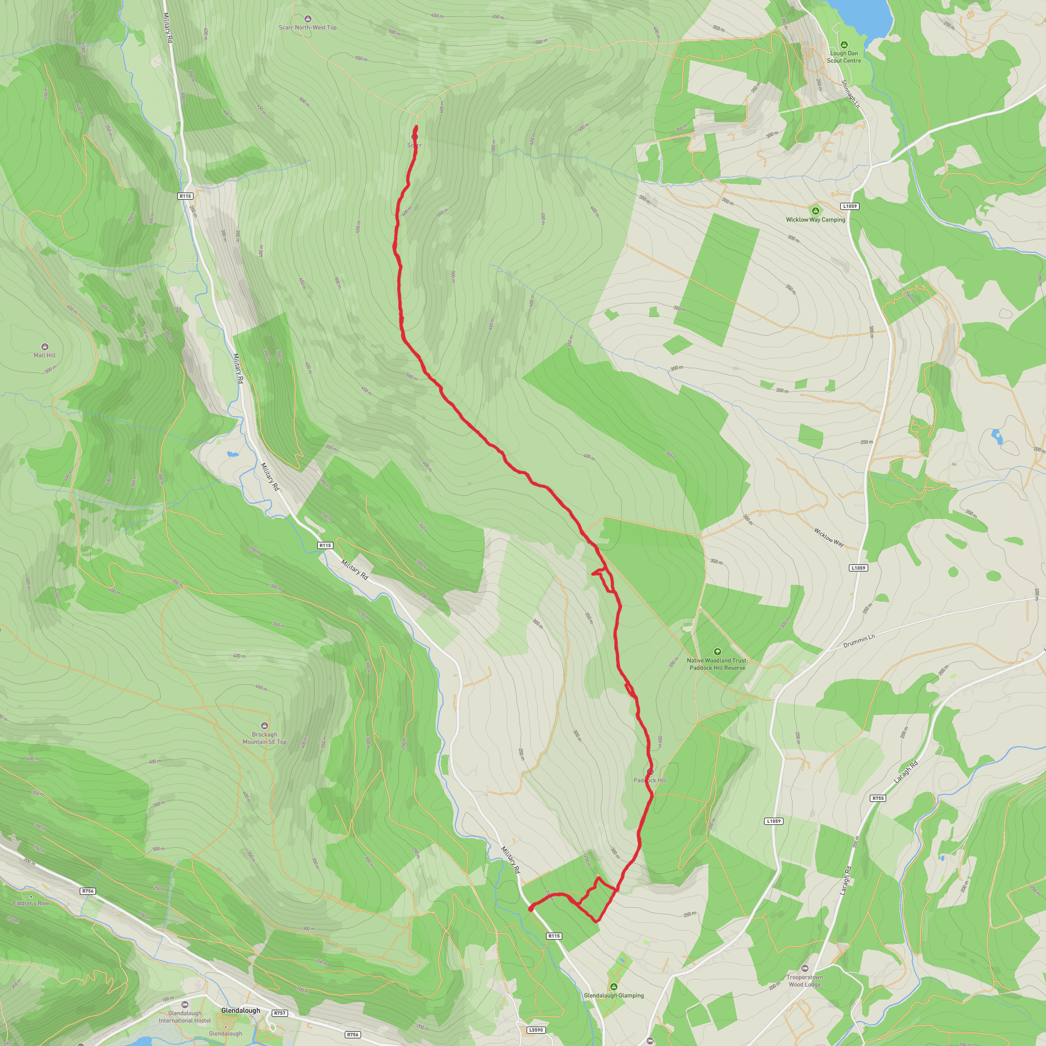
A medium 11.7 km loop taking about 3 hours 10 minutes, this route starts and ends near 53.01643, -6.30172 in the Wicklow area. With around 440 m of ascent and 483 m of descent, it offers steady climbs and varied terrain without being extreme. Expect a mix of forest tracks and open views over the Wicklow hills, making it a satisfying workout with rewarding scenery suitable for reasonably fit hikers.
Created by
Marcuuze
What to expect?
Native Woods
Wildflowers
Scenic Views
Rock Formations
Forest
Mountain Views
Comments and Reviews
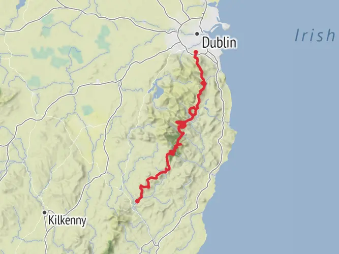
User comments, reviews and discussions about the Laragh Military Road to Scarr, Ireland.
5.0
average rating out of 5
1 rating(s)