Download
3D Flyover
Add to list
More
97.0 km
4 days
1209 m
Multi Day
“Embark on Bavaria's Kunigundenweg, a 97-km journey through history and scenic splendor.”
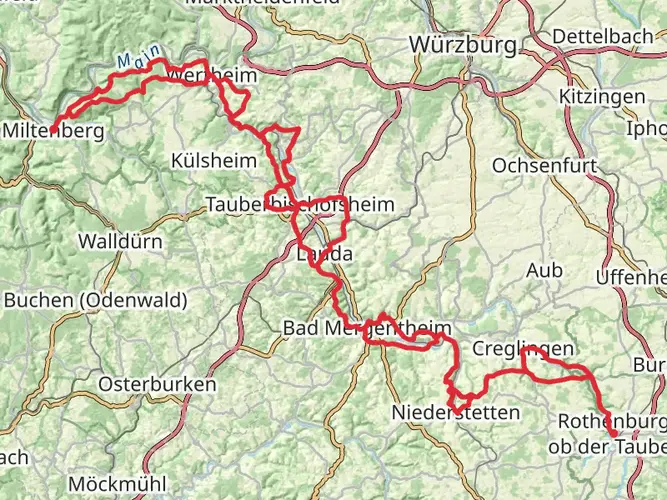
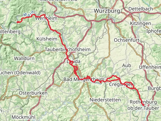
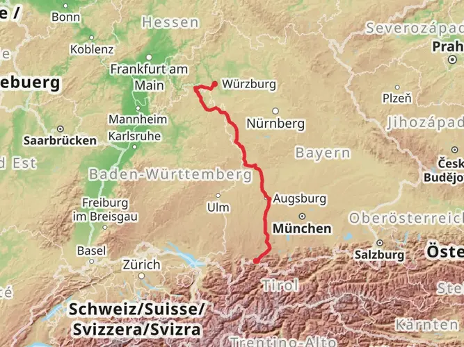
The Kunigundenweg is a scenic and historically rich trail that stretches approximately 97 kilometers (around 60 miles) with an elevation gain of around 1200 meters (approximately 3937 feet). This point-to-point trail begins near the administrative community of Aub in Germany, offering hikers a medium-difficulty trek through the picturesque landscapes of Bavaria.
Getting to the Trailhead
To reach the starting point of the Kunigundenweg, hikers can drive to the vicinity of Verwaltungsgemeinschaft Aub, where parking may be available. For those preferring public transport, the nearest significant town with a train station is Würzburg. From there, regional buses can be taken towards Aub, where the trailhead is located. It's advisable to check the latest schedules and routes on local transport websites or apps to ensure a smooth journey to the start of your hike.
Navigating the Trail
Hikers can utilize the HiiKER app to navigate the trail, ensuring they stay on the correct path and can anticipate upcoming changes in terrain or elevation. The app will also provide information on the distance covered and the remaining distance to the end of the trail.
Trail Highlights and Landmarks
As you embark on the Kunigundenweg, you'll traverse a variety of landscapes, including rolling hills, dense forests, and open meadows. The trail is named after Saint Kunigunde, the wife of Emperor Henry II, and it follows a route that is believed to have been taken by the saint herself.
Historical Significance
The region is steeped in history, with numerous opportunities to explore medieval architecture and historical sites. One of the significant landmarks along the trail is the Kloster Banz, a former Benedictine monastery that now serves as a cultural and meeting center. The monastery is located approximately 30 kilometers (about 18.6 miles) from the trailhead and offers a glimpse into the region's religious and architectural heritage.
Flora and Fauna
Nature enthusiasts will appreciate the diverse wildlife and plant species found along the Kunigundenweg. The forests are home to a variety of birds, while the open areas may offer sightings of deer and other wildlife. The changing seasons bring different flora to life, with spring and summer showcasing a vibrant array of wildflowers.
Trail Conditions and Preparation
The trail is well-marked, but as with any long-distance hike, it's essential to be prepared with appropriate gear, including sturdy footwear, weather-appropriate clothing, and sufficient water and food supplies. The elevation gain is gradual, but some sections may be more challenging than others, so a good level of fitness is recommended.
Accommodation and Rest Stops
Along the Kunigundenweg, there are towns and villages where hikers can find accommodation, ranging from guesthouses to hotels. It's advisable to book in advance, especially during peak hiking seasons. Rest stops and eateries can also be found at various points along the trail, allowing hikers to replenish and rest before continuing their journey.
Conclusion
The Kunigundenweg offers a unique combination of natural beauty and historical exploration. With careful planning and preparation, hikers can enjoy a memorable experience traversing this storied landscape. Whether you're interested in the cultural heritage or the serene environment, this trail provides an enriching adventure through the heart of Bavaria.
AI Planner
Days planned around your pace, with somewhere to stay each night.

Comments and Reviews
User comments, reviews and discussions about the Kunigundenweg, Germany.
5.0
average rating out of 5
7 rating(s)