Download
3D Flyover
Add to list
More
229.1 km
11 days
17110 m
Multi Day
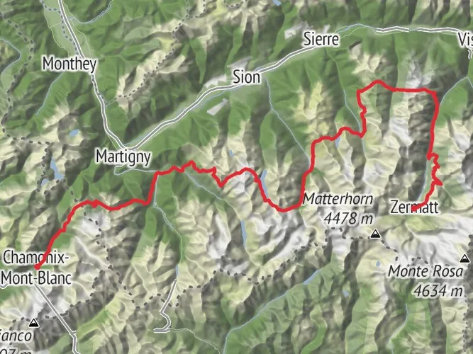
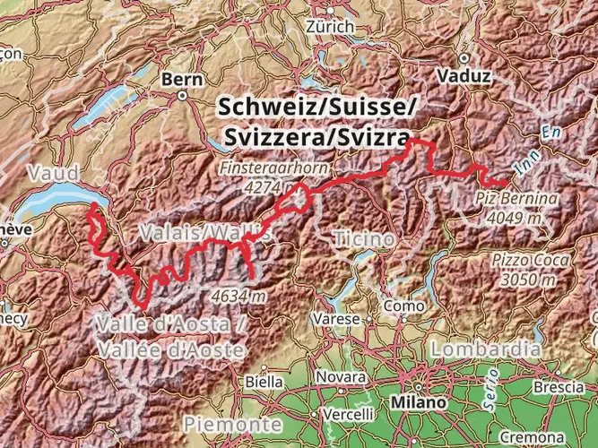
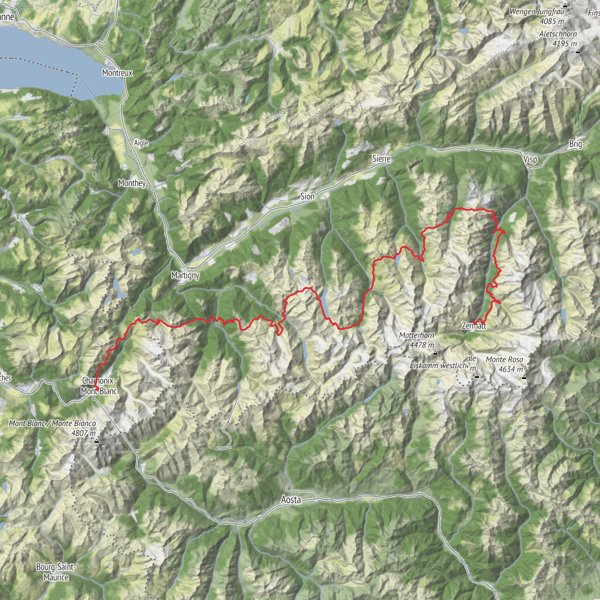
From Mont Blanc to Matterhorn. From charmonix to zermatt. Prepare yourself for a daring experience on the Apr 1 hike at 269 Avenue de Courmayeur. Known for its formidable difficulty level, this hike spans over a lengthy distance of 228.90 km. An adrenaline-boosting multi-day adventure, it will take you approximately 4476 minutes (about three days) to complete. This route promises not only stamina building but also eye-catching views with an elevation gain of 17,299 m and a descent of 17,033 m. Embarking from the picturesque 269 Avenue de Courmayeur in Chamonix-Mont-Blanc, you will conclude your journey amidst the serene Alpine landscape of Spissstrasse 11, Zermatt. Brace yourself for an exhilarating conquest of nature’s grandeur.
AI Planner
Days planned around your pace, with somewhere to stay each night.
What to expect?
Surfaces
Unknown
Ground
Gravel
Grass
Asphalt
Unpaved
Paved
Dirt
Fine Gravel
Compacted Gravel
Cobblestone
Comments and Reviews
User comments, reviews and discussions about the France Haute Route, France.
5.0
average rating out of 5
13 rating(s)