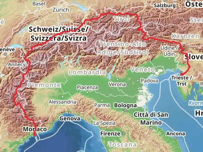
Download
3D Flyover
Add to list
More
201.5 km
14 days
12564 m
Multi Day
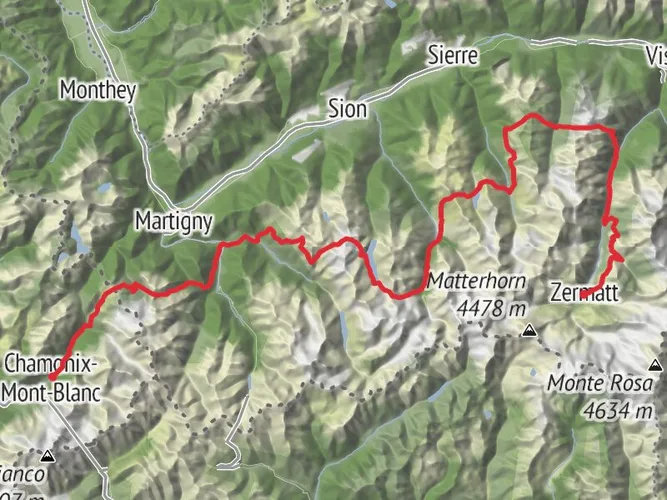
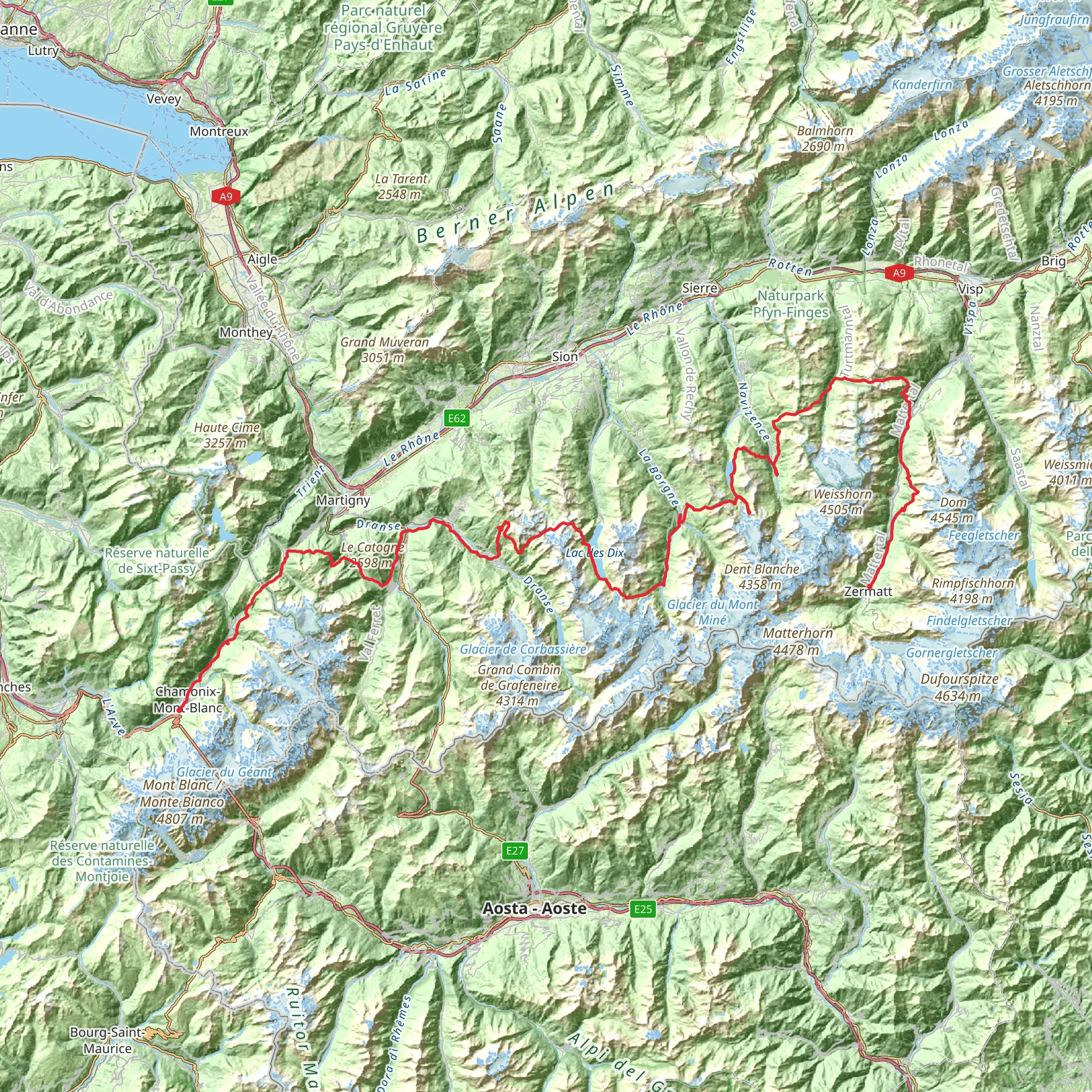
This is arguably the most prestigious and visually spectacular long-distance trek in the world. Stretching 127 miles (204km) through the heart of the French and Swiss Alps, the Walker’s Haute Route connects the two iconic mountaineering capitals of Chamonix and Zermatt. Unlike the Tour du Mont Blanc, which circles a massif, the Haute Route is a linear journey of conquest. You will cross 11 high mountain passes, traverse the edge of ancient glaciers, and drop into emerald-green valleys where time seems to have stood still.
AI Planner
Days planned around your pace, with somewhere to stay each night.
What to expect?
Surfaces
Unknown
Ground
Asphalt
Unpaved
Gravel
Compacted Gravel
Dirt
Fine Gravel
Paved
Paving Stones
Cobblestone
Concrete
Comments and Reviews
User comments, reviews and discussions about the Walker’s Haute Route, France.
average rating out of 5
0 rating(s)