


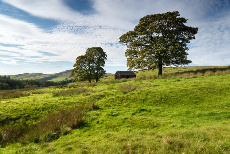
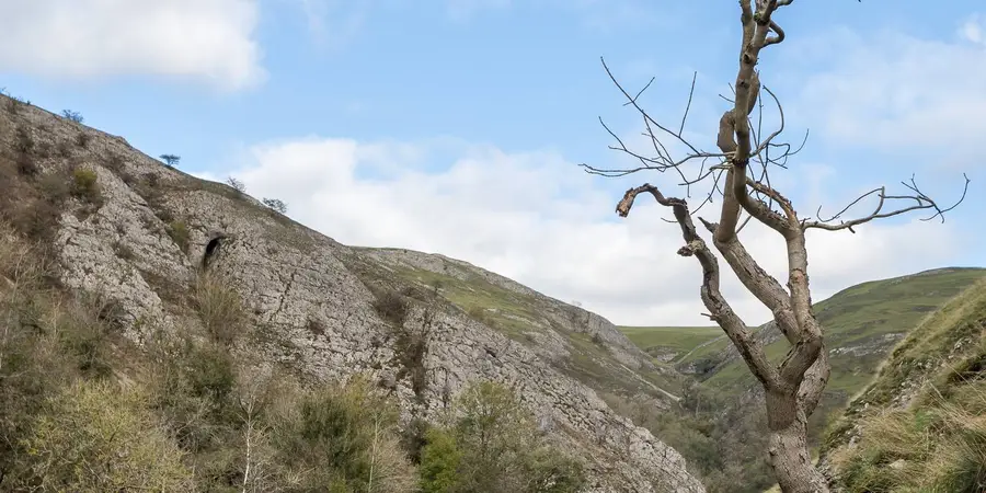
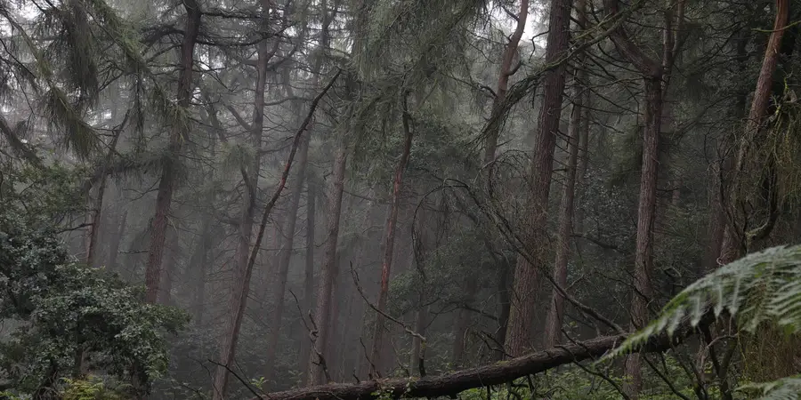
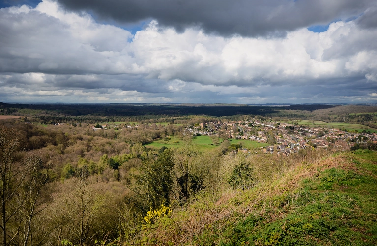
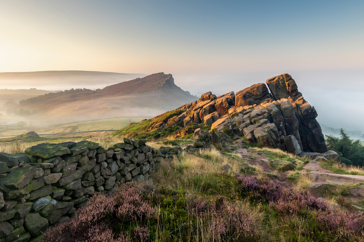
Best rock formations hikes in Staffordshire
Ready for some outdoor fun? These hikes offer everything you could want for an unforgettable adventure!
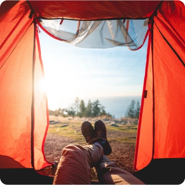
Here are some great hikes to explore in Staffordshire.
Most popular hikes
Reviews for rock formations hikes in Staffordshire


Caveman458 · reviewed 3 months ago
Don't follow, poorly drawn with no regard to where the paths actually go or no access signs. Clearly drawn on the computer and never hiked.

No reviews available for Four Trigs Loop from Rushton Spencer - Staffordshire.

Frequently asked questions for hikes in Staffordshire

In England, hiking in the spring (March to May) sees milder temperatures and flourishing wildlife, however trails may be muddy due to showers. Summer (June to August) offers the most stable weather with longer daylight hours but trails can be crowded, especially in national parks. Autumn (September to November) can be wetter but displays vibrant fall colours.
Winter hiking (December to February) is more challenging due to short days and colder, often unpredictable weather. Snowfall can make some trails inaccessible. Always check the weather forecast and equip accordingly. Experienced hikers may enjoy the tranquility and stark beauty of the winter landscape.
Ultimately, the best time to hike in England depends on personal preferences and preparedness. England's official tourist site (https://www.visitengland.com/) provides in-depth information about various hiking trails and their seasonal characteristics. Be sure to research specific areas as climate can vary across the country.
In England, the "Right to Roam" allows hikers access to certain public lands without a permit. Some areas like national parks or Sites of Special Scientific Interest may have specific rules. Before hiking, check with the landowner, National Trust, or local council. Information on access rights can be found on the Natural England website (https://www.gov.uk/guidance/open-access-land-management-rights-and-responsibilities).
Wild camping in England is generally not allowed without landowner permission, except in some parts of Dartmoor National Park. Breaching this can result in fines. It's advised to use official campsites or seek landowner consent for a more immersive experience. For more, visit the Dartmoor National Park's website (https://www.dartmoor.gov.uk/visiting/planning-your-visit/camping).

In emergencies while hiking in England, dial 999 and ask for the police, then request Mountain Rescue. The Mountain Rescue England and Wales (MREW) is a volunteer-run organization that provides assistance in upland and lowland areas. More information can be found on their website (https://www.mountain.rescue.org.uk/).

England's diverse hiking trails present a range of flora. Expect bluebells in ancient woodlands, gorse on coastal paths, and heather on moorlands. In protected areas, refrain from picking or damaging plants. The Woodland Trust provides more details on the UK's native species (https://www.woodlandtrust.org.uk/trees-woods-and-wildlife/plants/).

While hiking in England, you may encounter a variety of wildlife including deer, foxes, badgers, and numerous bird species. Beware of ticks in tall grass and midges in damp, shaded areas. The Royal Society for the Protection of Birds (https://www.rspb.org.uk/) offers useful information on encountering wildlife responsibly.
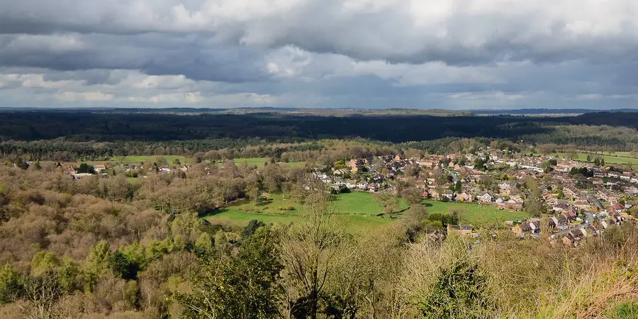
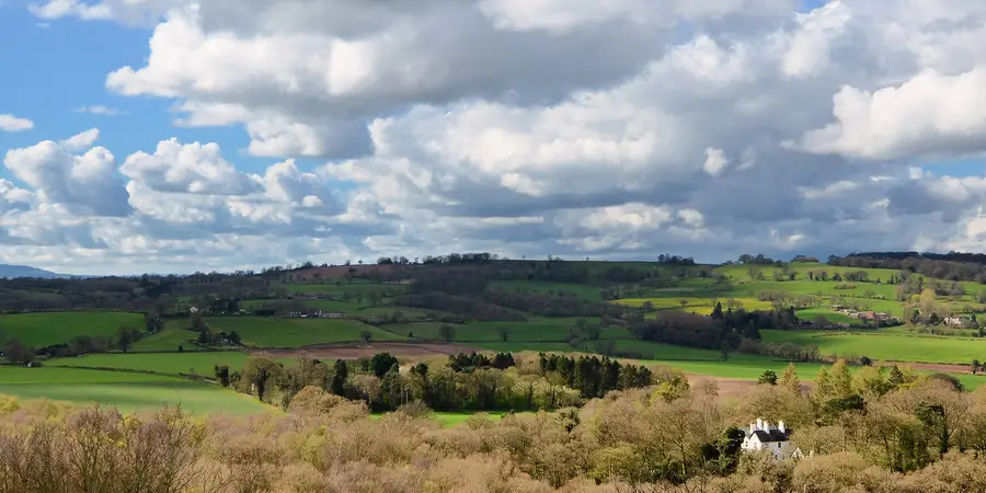
More hikes in Staffordshire
by type