Download
3D Flyover
Add to list
More
18.6 km
~4 hrs 30 min
467 m
Loop
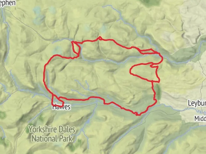
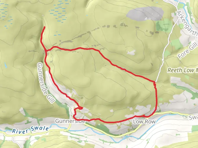
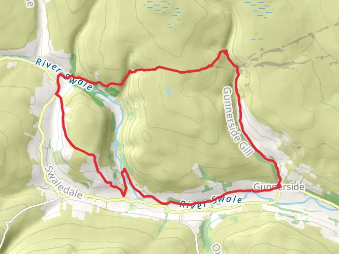
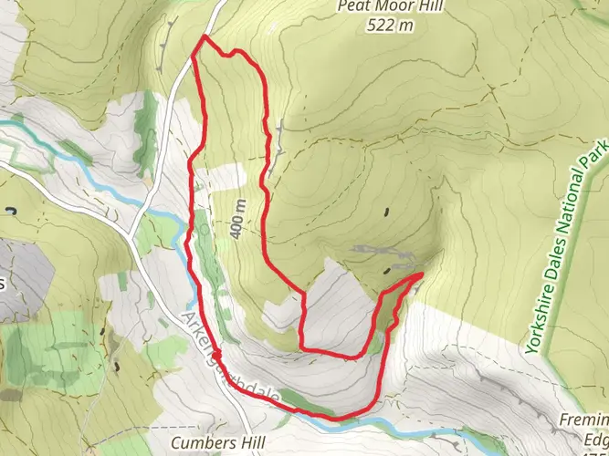
Exploring the industrial heritage between Arkengarthdale and Swaledale, this route takes in a number of lead mining sites.
Starting next to the Surrender Smelt Mill I took a little detour to follow the line of the flue up the hillside to an old chimney before trekking across the moor to join the track up by Old Gang Beck.
The route passed Old Gang smelt mill and took a little detour to see the mine shop at Level House and another detour to the old farm at Moor House.
The track then continues over the almost lunar landscape following the lead vein over Friarfield Hush where years of extracting the earth from the multitude of shafts and breaking up the material to release the ore and galena has left an old sandy surface across the top.
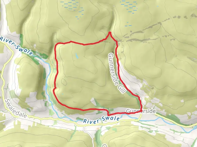
From there I dropped down towards the upper part of Gunnerside Gill. After leaving the mining track to drop into the gill the walking got much harder on narrow boggy tracks barely holding onto the hillside.
We dropped back down to Lownathwaite mine where we stopped for lunch before following the path further down the east side of the gill towards Gunnerside village. The going was great in palces, and awful in others but eventually we dropped into the village and into the Kings Head for a quick bit of refreshsment.
After leaving the village, despite headng back up hill the going was much easier and faster on good paths all the way back to the car at Surrender Bridge
AI Planner
Days planned around your pace, with somewhere to stay each night.

What to expect?
Activity types
Surfaces
Unknown
Gravel
Dirt
Grass
Ground
Asphalt
Unpaved
Comments and Reviews
User comments, reviews and discussions about the Surrender, Old Gang, and Gunnerside, England.
average rating out of 5
0 rating(s)