Download
3D Flyover
Add to list
More
20.4 km
~5 hrs 5 min
0 m
Loop
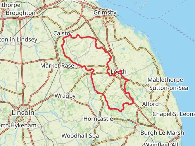
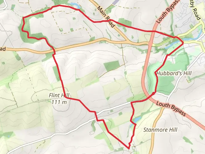
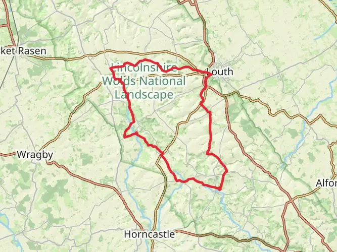
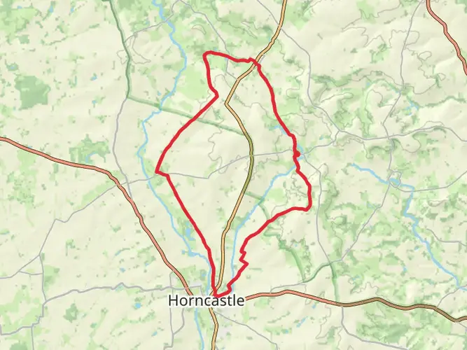
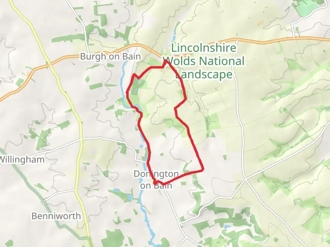
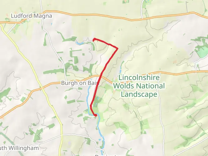
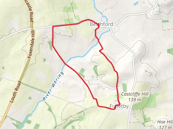
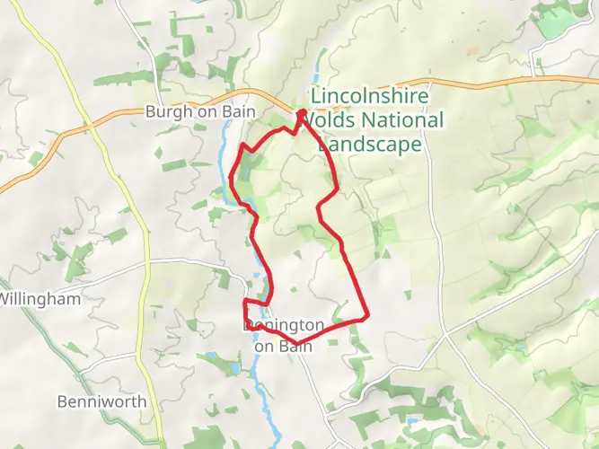
Set a date for December 11 and embark on the easy, yet adventurous hike through the scenic Lincolnshire Wolds AONB. This round trip, covering a distance of 20.4 km, will begin and end at Cold Harbour Lane, in the charming town of Louth, England. With no elevations to conquer, expect a smooth and steady journey. The duration of the hike is approximately 244 minutes, promising a fulfilling day of beauty and exploration without a multi-day commitment. Immerse yourself in the calming serenity of nature and allow the peace of the Lincolnshire Wolds landscape to replenish your energy. An excellent choice for beginner hikers or those seeking a light, yet invigorating adventure.

AI Planner
Days planned around your pace, with somewhere to stay each night.

What to expect?
Comments and Reviews
User comments, reviews and discussions about the RAF Stenigot & the Bain Valley, England.
average rating out of 5
0 rating(s)