Search a hike or location
East Riding of Yorkshire, England
Download
3D Flyover
Add to list
Complete
More
4.9 km
~1 hrs
27 m
Loop
Small elevations, soft under foot down Hudson Way. Red Kites over Etton.
What to expect?
Activity types
Surfaces
Asphalt
70% · 3.4km
Unknown
30% · 1.48km
User comments, reviews and discussions about the Cherry-Etton Circular, England.
star
average rating out of 5
0 rating(s)
Nearby Hikes
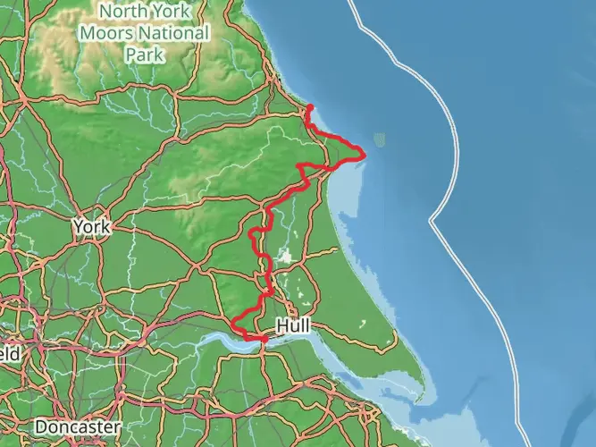
Yorkshire Wolds Way
124.5 km · 2301 m
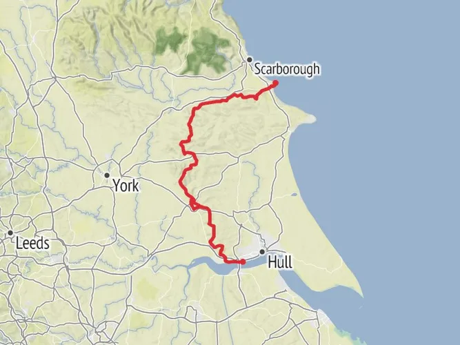
Hessle to Filey Walk
129.4 km · 1785 m
Hessle Loop via Yorkshire Wolds Way National Trail
47.2 km · 796 m
Walk from Brough in East Yorkshire
49.6 km · 451 m
High Hunsley Circuit
40.9 km · 696 m
Hutton 20 Miles Walk from Driffield
28.3 km · 100 m
Minster Way
84.4 km · 791 m
Wilberforce Way
Kingston upon Hull, England
92.8 km · 622 m
Wild Yorkshire Way
Barnsley, England
795.5 km · 11169 m
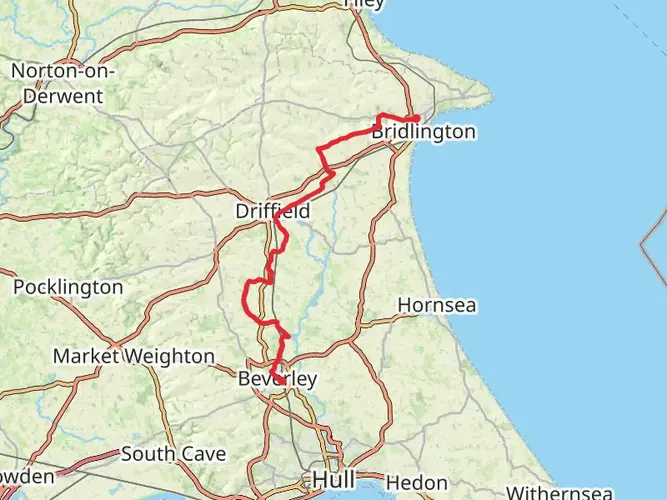
Beverley Minster to Bridlington Priory
55.9 km · 347 m
Beverley Twenty
27.5 km · 271 m
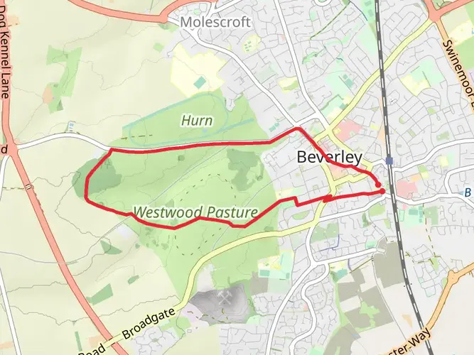
Beverley and the Beverley Westwood
6.7 km · 57 m
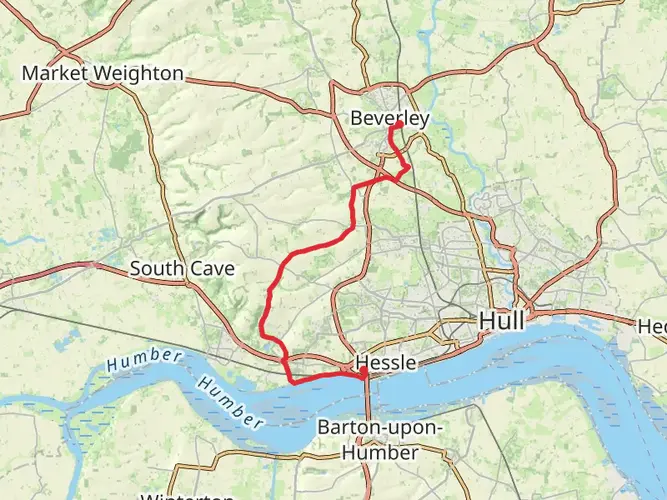
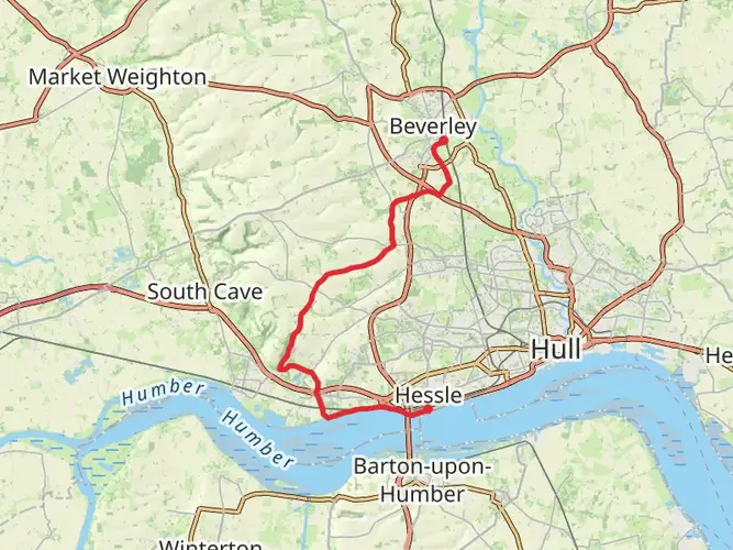
Hessle Cliff - River Humber - Welton - Skidby - Bentley and Beverley
28.7 km · 214 m
Bealey's Plantation Loop
7.1 km · 30 m
Old Moor and High Hunsley Circuit
6.4 km · 55 m
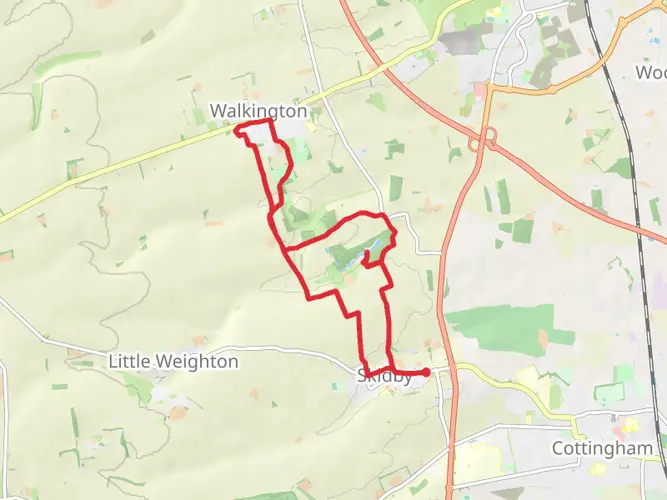
Old Moor, Folly Wood and Walkington Park Loop
13.7 km · 144 m
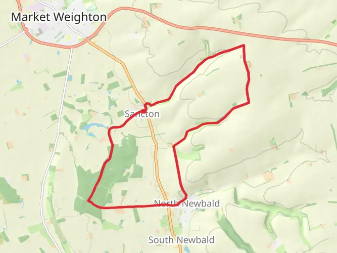
Sancton Loop
15.0 km · 165 m
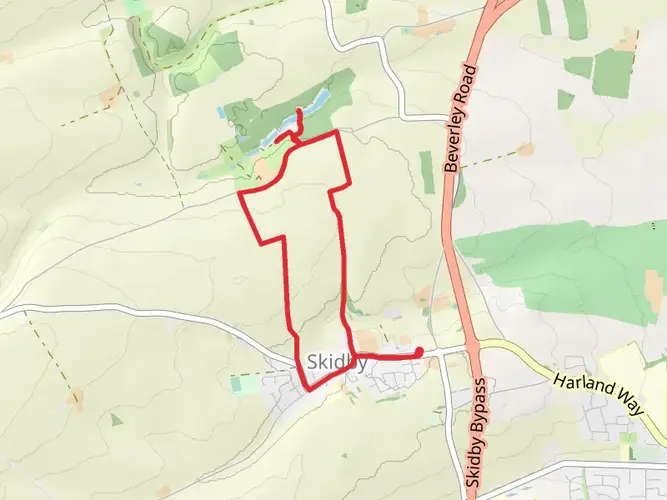
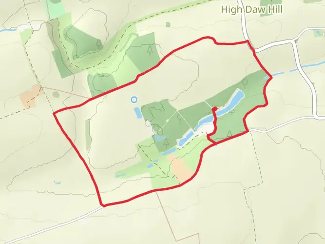
Risby Park Fishing Ponds Loop
4.9 km · 51 m
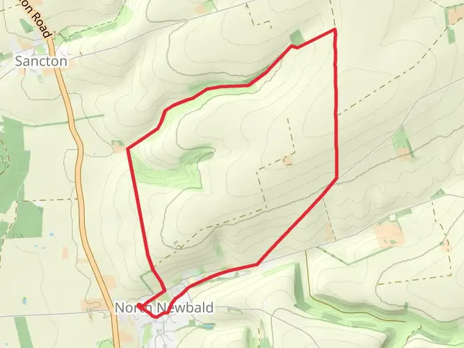
North Newbald Loop
8.2 km · 143 m
Walkington Ramble - Low Daw Hill and Risby Park Loop
9.5 km · 60 m
Continue in App
Continue in Browser
Choose which optional cookies and similar technologies HiiKER can use on this device. Privacy & cookie policy
Sign-in, security, checkout, support chat when you open it, and remembering these choices.
Google Analytics and PostHog (our own EU-hosted analytics) — which pages are visited and how features are used, so we can improve HiiKER.
Google Ads, Meta, Reddit and X pixels and Rewardful referral tracking — they tell those platforms when someone arrives from, or buys after, one of our ads or referrals. Turning this off opts you out of the "sale" or "sharing" of your personal information for targeted advertising.