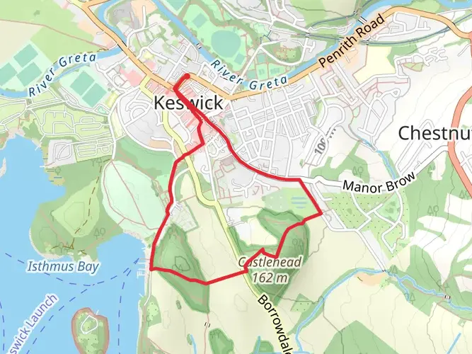
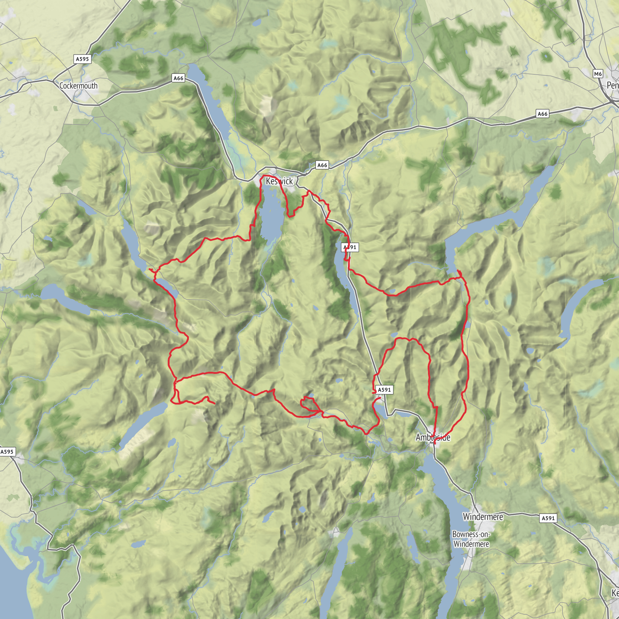
Keswick Loop via Thirlmere, Grasmere, Stickle Tarn, Wast Water and Buttermere
Download
3D Flyover
Add to list
More
125.6 km
10 days
6421 m
Multi Day
Jessica’s Journey — 10-Day Lake District Trek
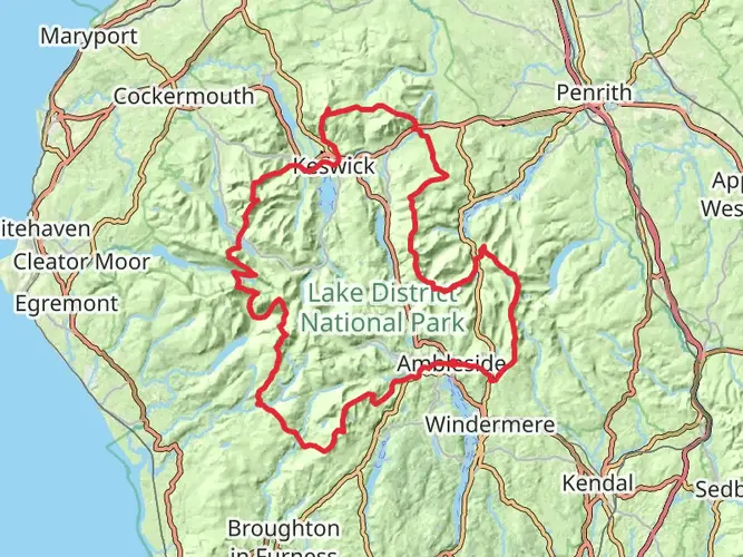
A 10-day circuit through the Lake District, starting and finishing in Keswick and built one day at a time to create a challenging but sustainable route through some of the biggest landscapes in the Lakes.
The route takes in Walla Crag, Helvellyn, Fairfield, Great Langdale, Harrison Stickle and the Langdale Pikes, the crossing into Wasdale, Scafell Pike, Black Sail Pass, Scarth Gap, Buttermere and finally Catbells before returning to Keswick.
Approx. 77.9 miles with 6,430+ metres of ascent.
This wasn't planned simply as a walk. It was built as part of Jessica’s Journey — ten days of carrying everything I need, camping along the way and pushing myself through whatever the Lake District throws at me.
Every mile has a purpose. Every climb has a reason.
Keswick → Keswick. Ten days. One journey.
AI Planner
Days planned around your pace, with somewhere to stay each night.
What to expect?
Activity types
Tags
Surfaces
Unknown
Asphalt
Gravel
Ground
Dirt
Compacted Gravel
Unpaved
Grass
Fine Gravel
Paving Stones
Paved
Concrete
Cobblestone
Comments and Reviews
User comments, reviews and discussions about the Keswick Loop via Thirlmere, Grasmere, Stickle Tarn, Wast Water and Buttermere, England.
5.0
average rating out of 5
1 rating(s)