Download
3D Flyover
Add to list
More
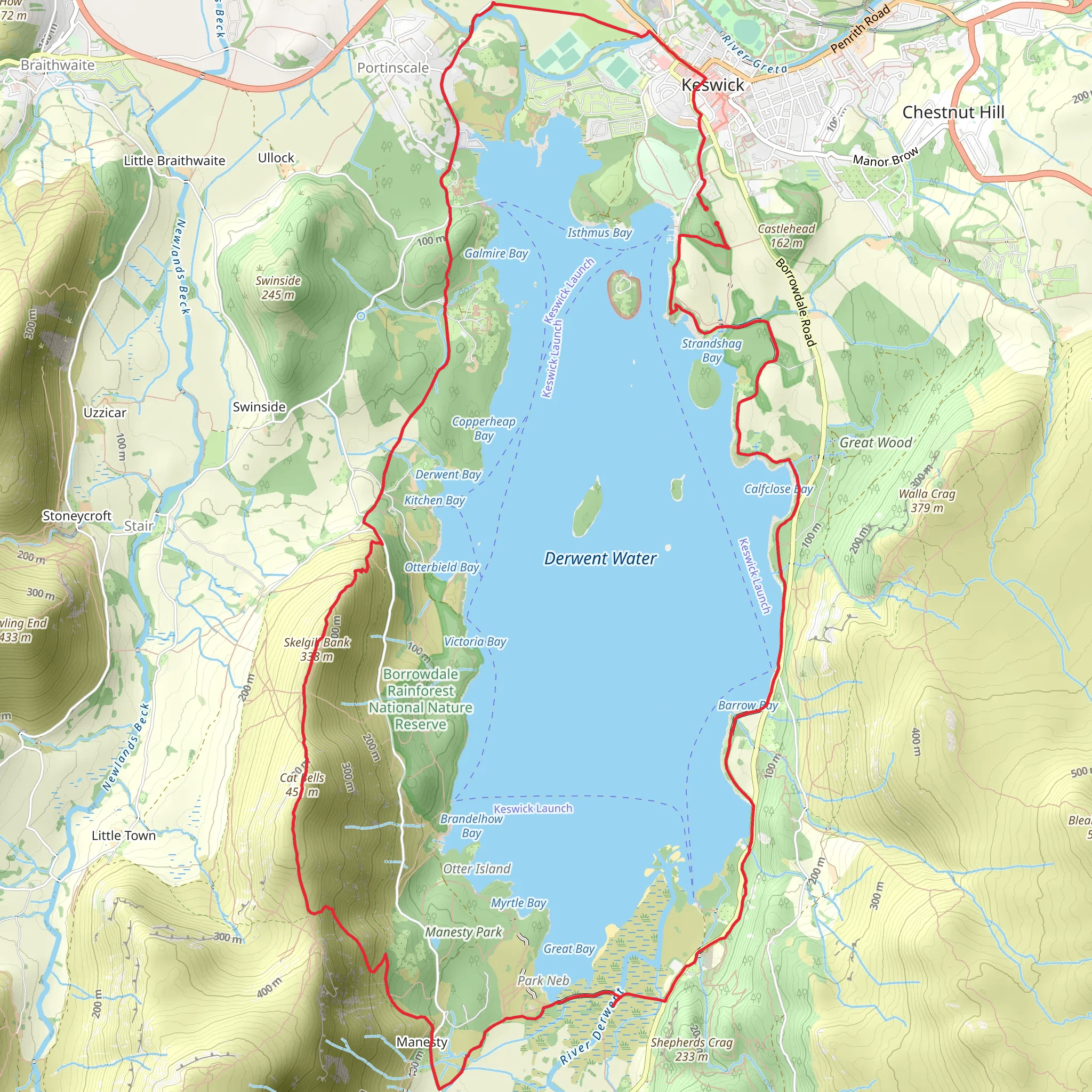
Trail length
16.4 km
Time
~4 hrs 7 min
Elevation Gain
508 m
Hike Type
Loop
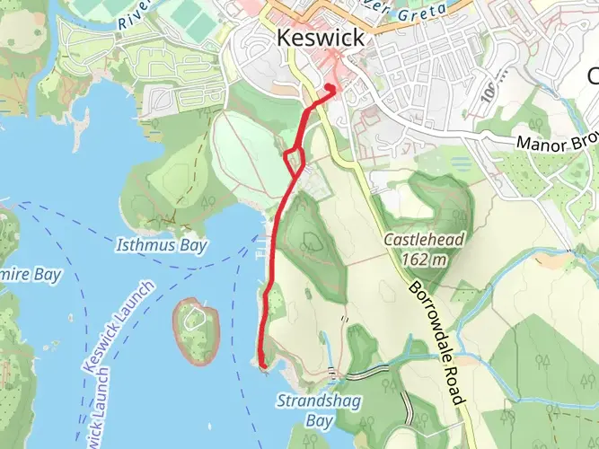
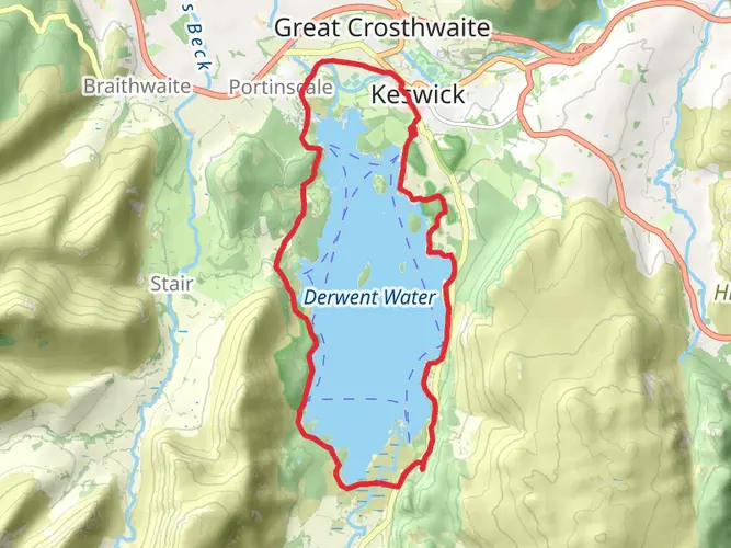
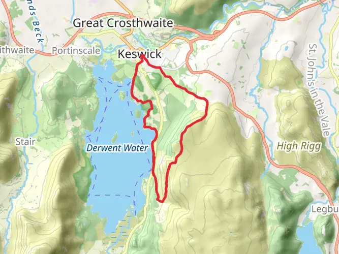
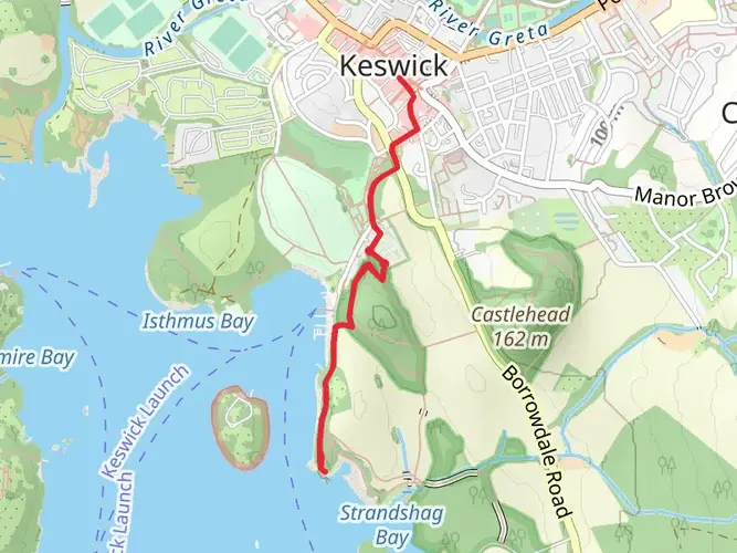
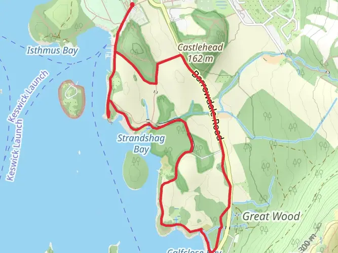
A gentle 4.1 km loop starting near Cumberland, ideal for most walkers. Expect about 4 hours on the trail with easy-going terrain but a steady elevation gain of around 509 m and a slightly greater descent. The route offers rolling countryside views typical of the area and a relaxed pace, making it good for beginners building confidence or experienced hikers looking for a shorter, scenic outing close to town.
Created by
DalyDose
AI Planner
Days planned around your pace, with somewhere to stay each night.
What to expect?
Bridges
Wildflowers
Lakes
Waterfalls
Wildlife
Mountain Views
Surfaces
Unknown
Asphalt
Compacted Gravel
Fine Gravel
Dirt
Gravel
Paving Stones
Comments and Reviews
User comments, reviews and discussions about the Catbells and Friars Crag Loop, England.
5.0
average rating out of 5
2 rating(s)