Download
3D Flyover
Add to list
More
11.6 km
~5 hrs 26 min
623 m
Loop
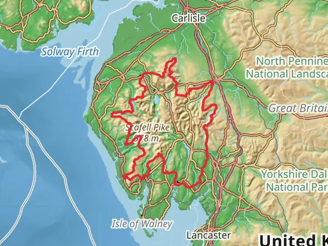
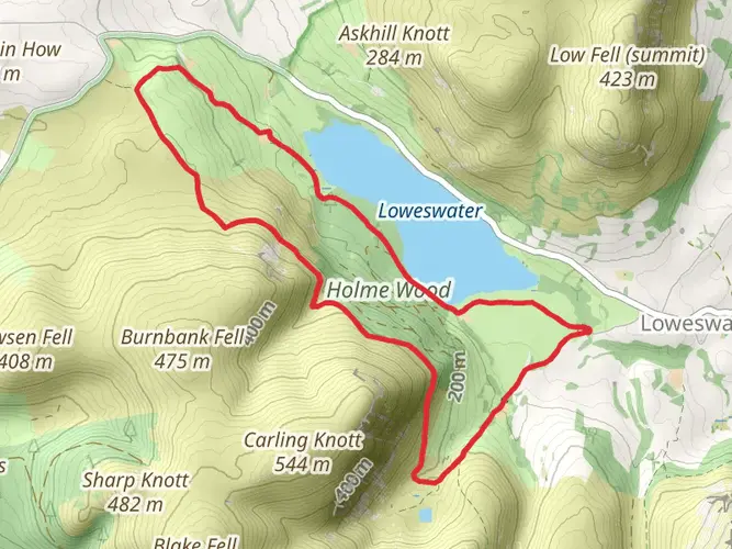
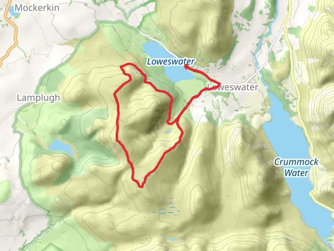
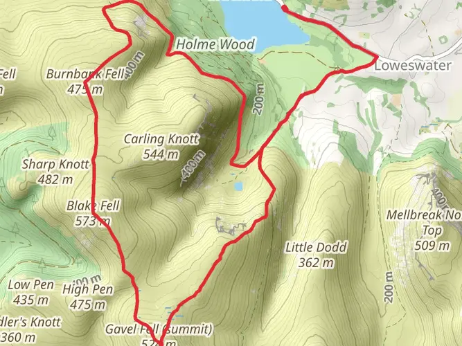
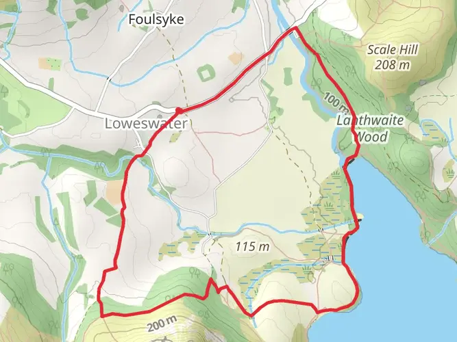
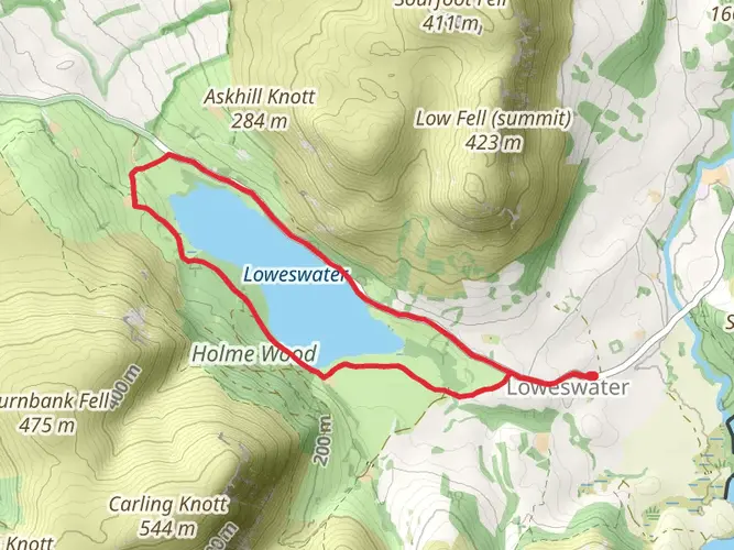
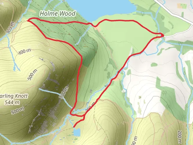
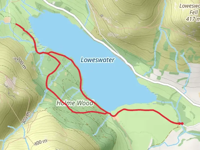
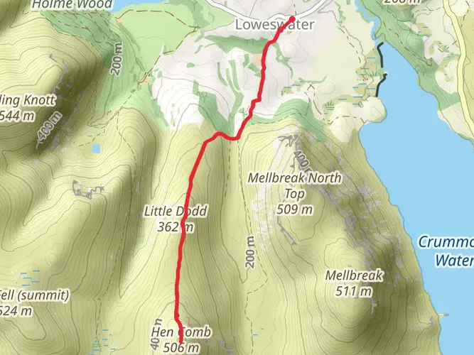
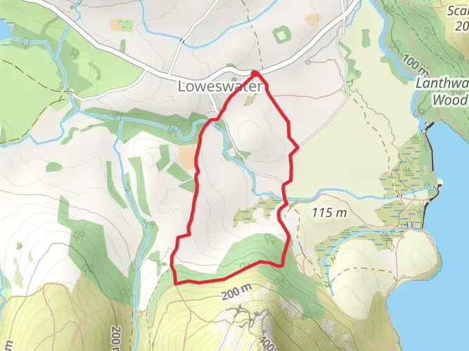
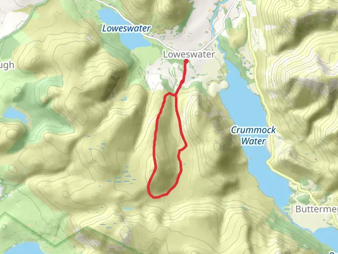
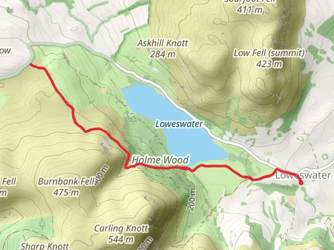
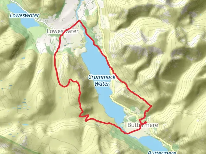
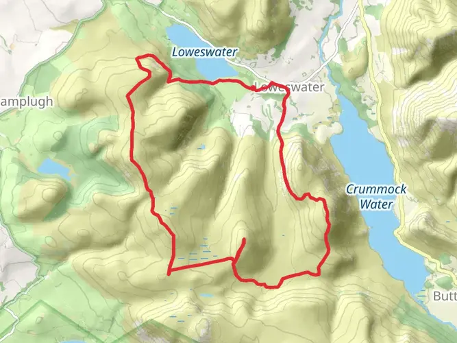
Embark on a dynamic and thrilling journey through the heart of England's Lake District National Park on February 18th. This medium-difficulty walk covers a distance of 11.63 km and takes approximately 201 minutes to complete. Despite its moderate challenge, it offers a rewarding experience with a total elevation gain of 624 m and a descent of 641 m. Beginning and ending in the picturesque town of Cockermouth, this hike doesn't extend over multiple days, making it perfect for a robust day adventure. Explore the beauty and undulating terrain of the Lake District National Park, delighting in the climb and descent of hills, combining a satisfying mix of natural beauty and physical exertion.


Surfaces
Unknown
Gravel
Grass
Compacted Gravel
Concrete
Paved
Comments and Reviews
User comments, reviews and discussions about the Burnbank, Blake and Gavel, England.
5.0
average rating out of 5
1 rating(s)