Download
Preview
Add to list
More
22.0 km
~5 hrs 45 min
810 m
Loop
“Embark on Marin County's Sky Trail Loop, a scenic, historic, and wildlife-rich 13.7-mile hiking odyssey.”
The Sky Trail and Fire Lane Trail Loop is a captivating journey nestled in the scenic region of Marin County, California. Spanning approximately 22 kilometers (about 13.7 miles) and featuring an elevation gain of around 800 meters (roughly 2625 feet), this loop trail offers a moderately challenging experience for hikers looking to explore the diverse landscapes of the area.
Getting to the Trailhead To reach the trailhead, hikers can drive to the designated parking area near the intersection of Limantour Road and Bear Valley Road. For those opting for public transportation, the West Marin Stagecoach provides access to the Point Reyes National Seashore, where you can start your adventure. From the nearest stop, it's a short walk to the trailhead.
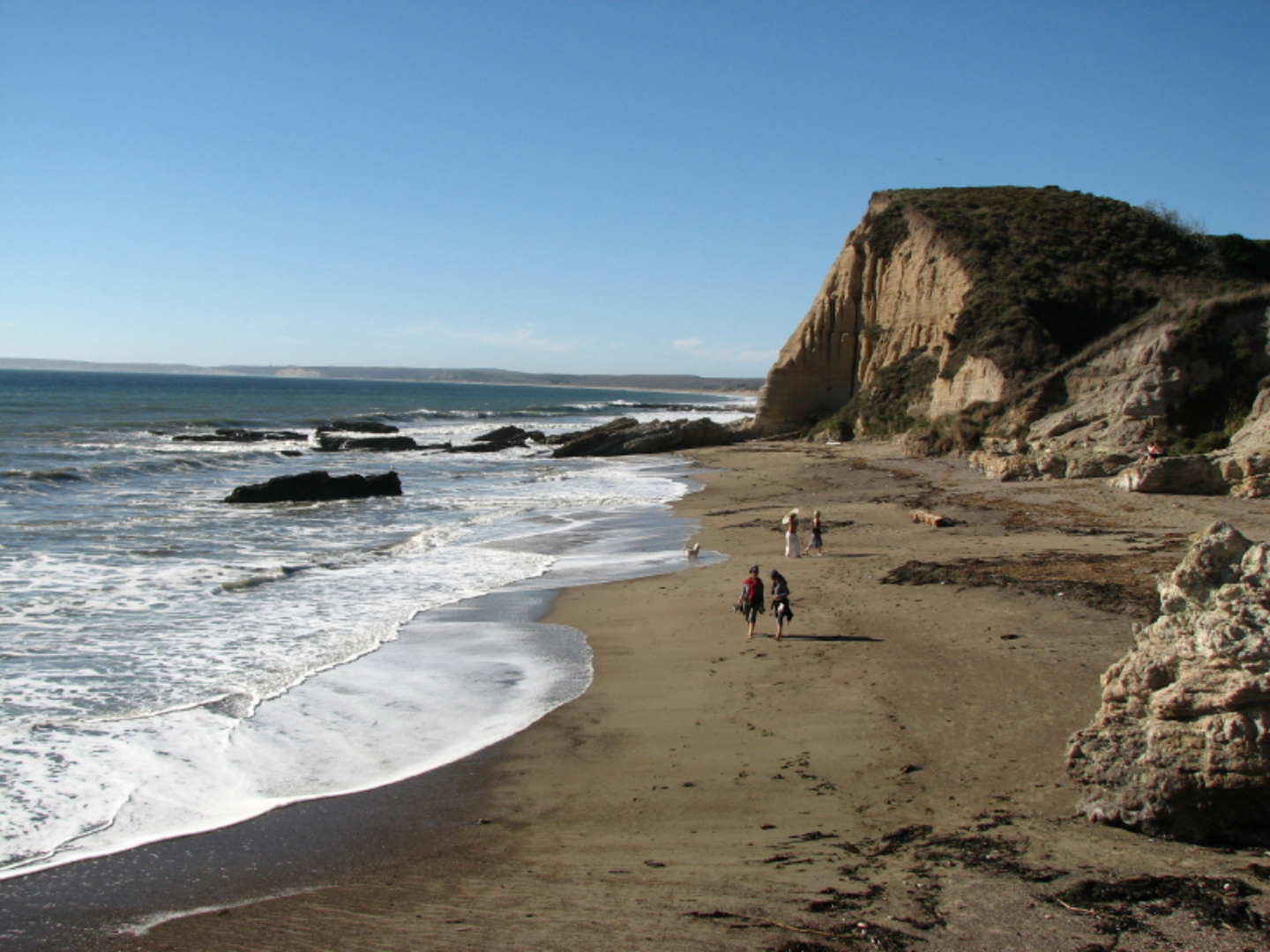
Navigating the Trail Embarking on the Sky Trail, hikers are greeted with a mix of dense forest canopies and open meadows. The trail meanders through a variety of ecosystems, including Douglas fir forests and coastal scrub. The ascent is steady, and as you climb, the views of the Pacific Ocean begin to emerge. Hikers should utilize the HiiKER app for detailed navigation, ensuring they stay on the correct path as the trail intersects with others in the network.
Landmarks and Scenery As you progress, you'll reach the Sky Campground, which is a great spot for a rest or even an overnight stay if you've secured a permit. The trail continues to ascend, offering panoramic vistas of Drakes Bay and the surrounding coastal terrain. Keep an eye out for the historic RCA/Marconi Station, which played a significant role in maritime communication during the early 20th century.
Wildlife and Flora The region is home to an abundance of wildlife, including black-tailed deer, coyotes, and a variety of bird species. The trail is also a haven for wildflowers, especially in the spring, when the landscape is awash with color. Hikers should be mindful of poison oak, which is prevalent in the area.
Fire Lane Trail Upon reaching the junction with the Fire Lane Trail, the loop begins its descent. This section is less traveled and offers a sense of solitude as you navigate through more shaded areas. The trail can be narrow and rugged in places, so good footwear is essential.
Preparation and Safety Hikers should come prepared with plenty of water, as there are limited sources along the route. Weather can be variable, so layered clothing is recommended. Always check for trail conditions and closures before setting out, as the area can be affected by seasonal weather patterns.
Conclusion The Sky Trail and Fire Lane Trail Loop is a rewarding experience that showcases the natural beauty and historical significance of Marin County. With its varied terrain and stunning views, it's a must-hike for those seeking to immerse themselves in the splendor of Northern California's coastal environment.

What to expect?
Activity types
Comments and Reviews
User comments, reviews and discussions about the Sky Trail and Fire Lane Trail Loop, California.
4.8
average rating out of 5
5 rating(s)