Download
3D Flyover
Add to list
More
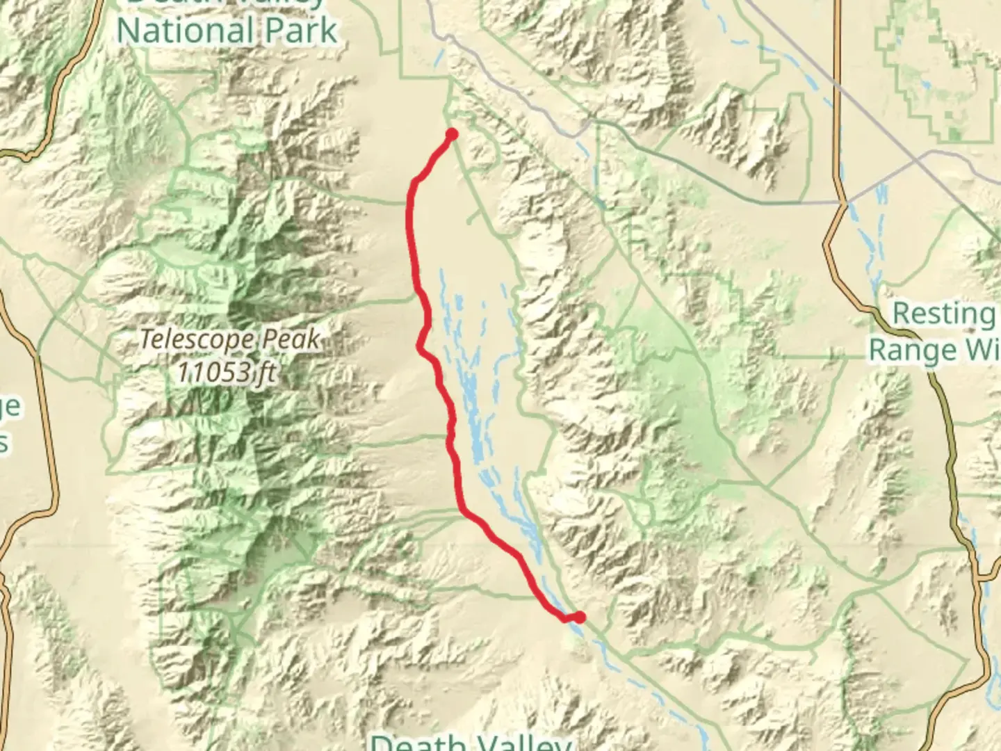
57.8 km
~2 days
152 m
Point-to-Point
“The West Side Road Walk offers a captivating journey through Death Valley's stark landscapes and rich history.”
The West Side Road Walk is a captivating journey through the heart of Death Valley National Park, stretching approximately 58 kilometers (about 36 miles) with a gentle elevation gain of around 100 meters (328 feet). This point-to-point trail begins near Inyo County, California, offering an easy yet rewarding experience for hikers of all levels.
Getting There
To reach the trailhead, you can drive or use public transportation. If driving, head towards Furnace Creek in Death Valley National Park. The nearest significant landmark is the Furnace Creek Visitor Center, located on California State Route 190. From there, follow signs to the West Side Road, which is accessible via Badwater Road. Public transport options are limited, so it's advisable to rent a car if you're traveling from nearby cities like Las Vegas or Los Angeles.
Trail Highlights
The West Side Road Walk meanders through the vast and arid landscapes of Death Valley, offering hikers a unique glimpse into one of the most extreme environments on Earth. The trail is predominantly flat, making it accessible for those seeking a leisurely hike without the challenge of steep inclines.
Historical Significance
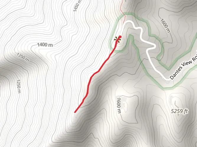
This region is steeped in history, with the trail itself tracing routes used by early settlers and miners. The area was once a bustling hub during the late 19th and early 20th centuries, as prospectors sought fortunes in the harsh desert environment. Remnants of this era can still be seen along the trail, including old mining equipment and abandoned structures, providing a tangible connection to the past.
Natural Features and Wildlife
As you traverse the trail, you'll encounter a diverse array of natural features. The stark beauty of the salt flats, expansive desert vistas, and rugged mountain backdrops create a dramatic and unforgettable landscape. Keep an eye out for the unique flora and fauna that have adapted to the harsh conditions of Death Valley. You might spot desert bighorn sheep, kit foxes, and a variety of bird species that call this area home.
Navigation and Safety
Given the remote nature of the trail, it's crucial to be well-prepared. Use the HiiKER app to navigate the trail accurately and ensure you stay on course. The app provides detailed maps and real-time updates, which are invaluable in this vast desert environment. Always carry plenty of water, sun protection, and a first-aid kit, as the desert climate can be unforgiving.
Points of Interest
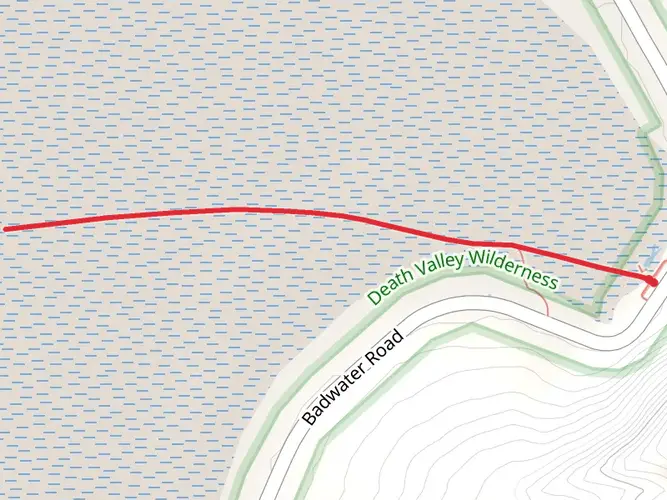
Along the trail, several points of interest are worth exploring. The Devil's Golf Course, a surreal landscape of jagged salt formations, is a must-see. Further along, the trail skirts the edge of the Badwater Basin, the lowest point in North America, sitting at 86 meters (282 feet) below sea level. These landmarks offer incredible photo opportunities and a chance to marvel at the geological wonders of Death Valley.
Embarking on the West Side Road Walk is not just a hike; it's an exploration of history, geology, and the resilience of life in one of the planet's most inhospitable regions.

What to expect?
Activity types
Comments and Reviews
User comments, reviews and discussions about the West Side Road Walk, California.
average rating out of 5
0 rating(s)