Download
3D Flyover
Add to list
More
212.9 km
~10 days
10089 m
Multi-Day
The Lowest to Highest Route is a 212.9 km trail that starts in , Inyo County, California. Based on our data, the hike is graded as Extra Difficult. For information on how we grade trails, please read measuring the difficulty of a hiking trail on hiiker. Also, check our latest community posts for trail updates. This hike can be completed in approx 10 days. Caution is advised on trail times as this depends on multiple variables. For more info read about how we calculate hike time.

What to expect?
Activity types
Frequently asked questions
How long is the Lowest to Highest Route in Inyo County, California?
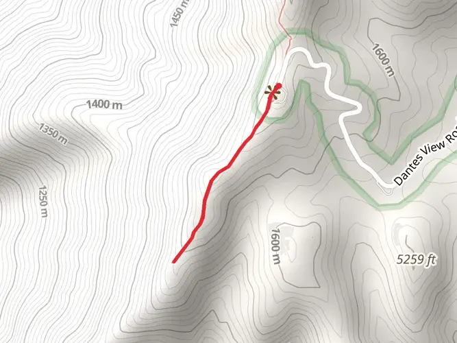
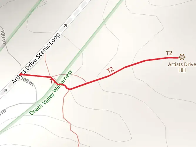
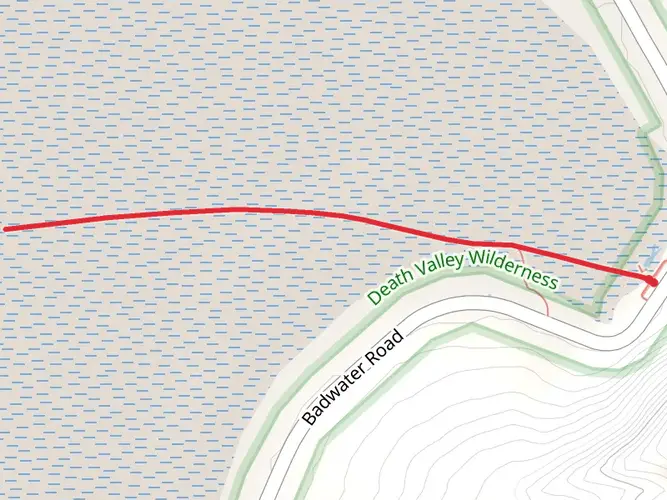
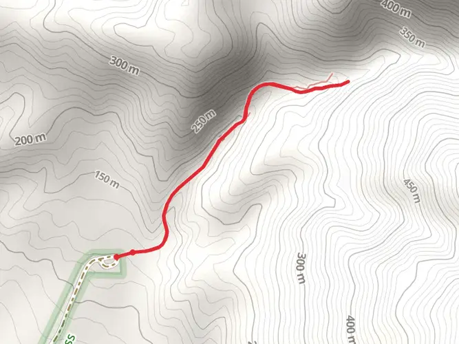
The Lowest to Highest Route is 212.86 km long, making it a true multi-day crossing rather than a single summit hike. It links the floor of Death Valley near Badwater Basin, 282 feet below sea level, with the Mount Whitney area, creating one of the biggest elevation transitions in the United States.
How much elevation gain is on the Lowest to Highest Route?
The Lowest to Highest Route has 10,089 m of total elevation gain, which is why it is rated Extra Difficult. The route starts near Badwater Basin in Death Valley at 282 feet below sea level and finishes in the Mount Whitney area, where the summit reaches 14,505 feet, so the climb is sustained and extreme from desert basin to high alpine terrain.
Where does the Lowest to Highest Route start and finish in California?
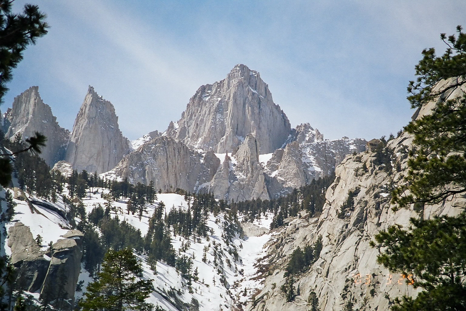
The route begins at Badwater Basin in Death Valley National Park, the lowest point in North America at 282 feet below sea level. It finishes at Mount Whitney, the highest peak in the contiguous United States at 14,505 feet, typically reached from the Whitney Portal side west of Lone Pine.
Do you need a permit for the Lowest to Highest Route and Mount Whitney finish?
A Mount Whitney permit is required for hikers entering the Whitney Zone, including those finishing via the Whitney Trail from Whitney Portal. That matters on the Lowest to Highest Route because the final section reaches the Mount Whitney area in Inyo National Forest, where permit controls are in place for both day use and overnight travel.
What is the best time of year to hike the Lowest to Highest Route?
Spring and fall are generally the most workable seasons for the Lowest to Highest Route because Death Valley summer temperatures often top 120°F, while the Mount Whitney high country can hold snow and ice into early summer. The route spans desert, canyon country, and alpine terrain, so timing has to balance dangerous heat at Badwater Basin with snow conditions near Whitney Portal and the summit.
Where can you park for the Lowest to Highest Route at the Badwater Basin and Whitney Portal ends?
Badwater Basin has a developed parking area off Badwater Road in Death Valley National Park, about 17 miles south of Furnace Creek. On the eastern Sierra end, Whitney Portal is reached by Whitney Portal Road west of Lone Pine, and it is the standard access point for the final Mount Whitney trail section.
Is the Lowest to Highest Route difficult?
Yes. The Lowest to Highest Route is rated Extra Difficult and covers 212.86 km with 10,089 m of climbing, so it is far beyond a typical backpacking trip. It combines extreme desert exposure in Death Valley with a high-altitude finish at Mount Whitney, where snow, ice, and thin air can become serious factors.
Comments and Reviews
User comments, reviews and discussions about the Lowest to Highest Route, California.
average rating out of 5
0 rating(s)