Search a hike or location
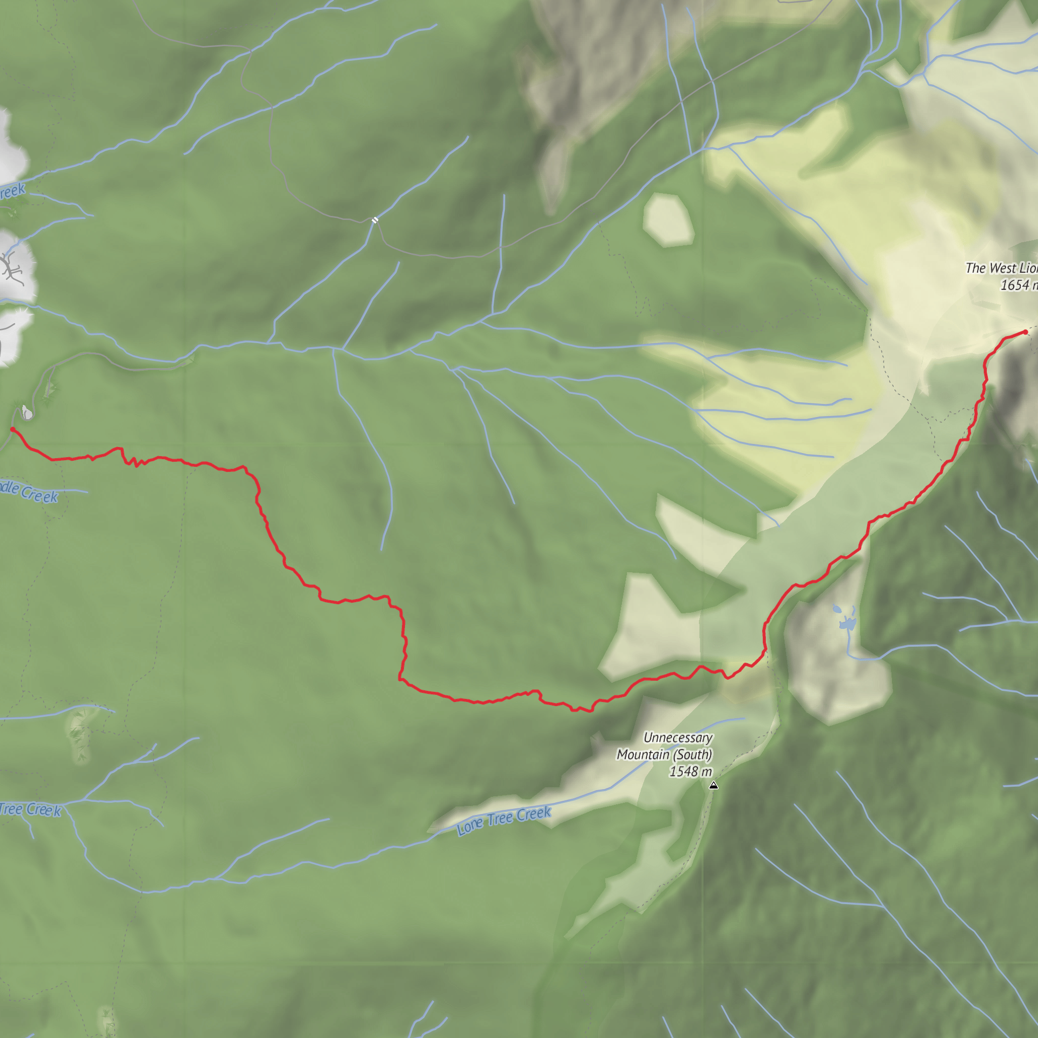
Metro Vancouver, British Columbia
Download
3D Flyover
Add to list
Complete
More
4.7 km
~2 hrs 49 min
1426 m
Point to Point
Shorter route around 9 km, very steep initially kind of like harvey.
Surfaces
Ground
100% · 5.08km
User comments, reviews and discussions about the Hike from Lions Bay, British Columbia.
star
average rating out of 5
0 rating(s)
Nearby Hikes
Baden Powell Trail
Greater Vancouver, British Columbia
45.1 km · 2277 m
Sea To Sky Trail
Squamish-Lillooet, British Columbia
65.9 km · 587 m
Diez Vistas - Cima Amanecer and Vista 1 Viewpoint
7.7 km · 467 m
Mt Strachan Loop
6.7 km · 0 m
Murrin Park and Jurassic Ridge Trail
2.5 km · 214 m
Continue in App
Continue in Browser
Choose which optional cookies and similar technologies HiiKER can use on this device. Privacy & cookie policy
Sign-in, security, checkout, support chat when you open it, and remembering these choices.
Google Analytics and PostHog (our own EU-hosted analytics) — which pages are visited and how features are used, so we can improve HiiKER.
Google Ads, Meta, Reddit and X pixels and Rewardful referral tracking — they tell those platforms when someone arrives from, or buys after, one of our ads or referrals. Turning this off opts you out of the "sale" or "sharing" of your personal information for targeted advertising.