Download
3D Flyover
Add to list
More
Trail length
17.2 km
Time
~7 hrs 6 min
Elevation Gain
1404 m
Hike Type
Loop
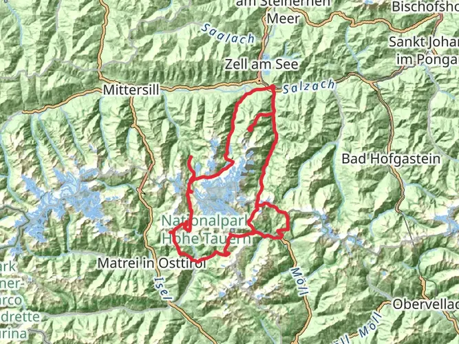
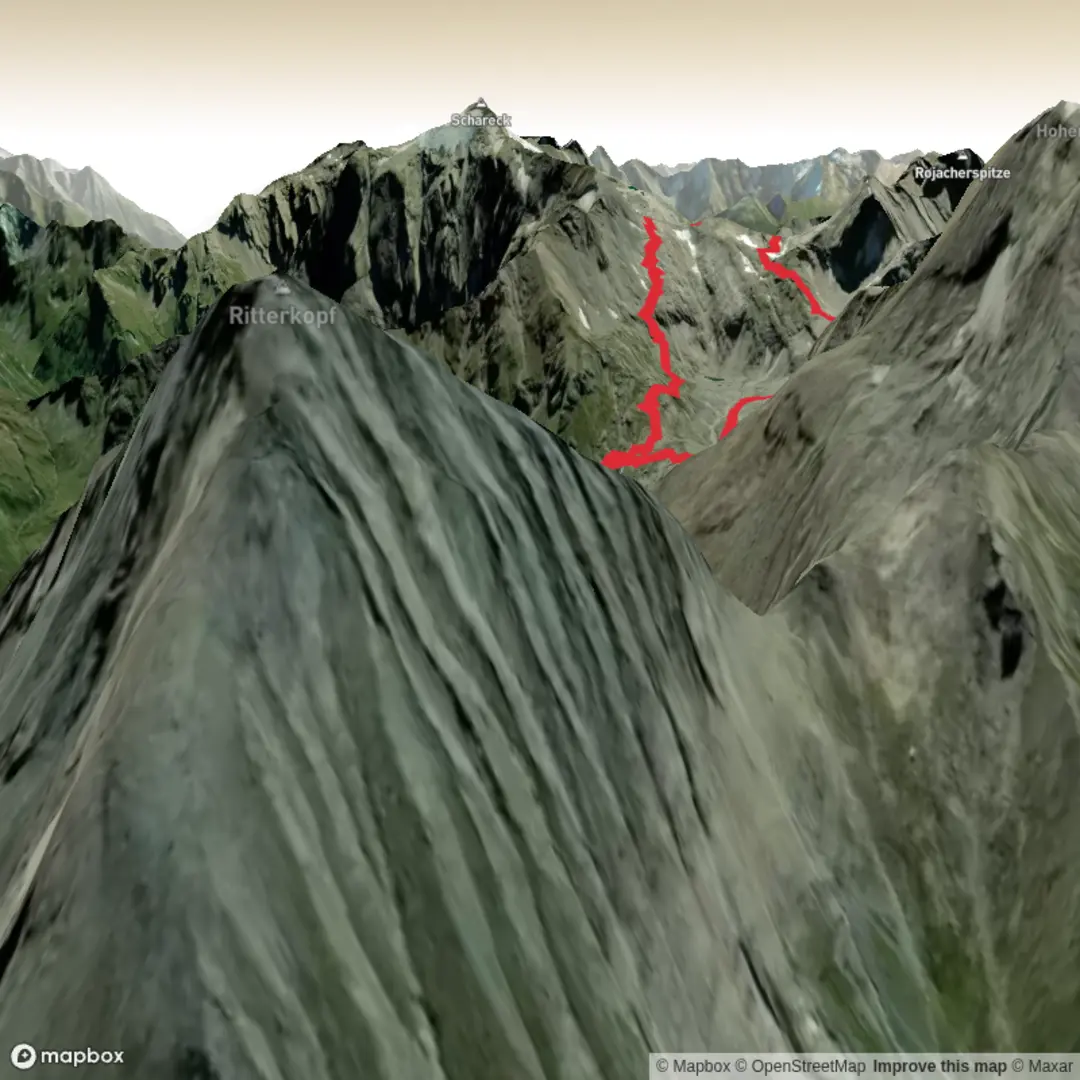
Challenging mountain route starting near Bucheben, covering about 17.2 km with roughly 1,406 m of ascent and 1,451 m of descent. Expect steep, demanding sections and exposed alpine terrain suited to very fit, experienced hikers. The hike offers wide views of the surrounding Hohe Tauern peaks and remote valleys before looping back close to the starting point near Bucheben.
Created by
BackpackRichardCZ

What to expect?
waterfalls
glaciers
rivers
wildlife
wildflowers
mountain-views
lakes
forest
Surfaces
Unknown
Ground
Compacted Gravel
Unpaved
Fine Gravel
Asphalt
Gravel
Paved
Comments and Reviews
User comments, reviews and discussions about the Herzog-Ernst-spitze and Goldbergtauernkogel Loop, Austria.
average rating out of 5
0 rating(s)