Download
3D Flyover
Add to list
More
71.6 km
~4 days
5204 m
Multi-Day
“Trek the Herz-Ass-Vilgratental for a challenging yet breathtaking alpine odyssey through Austria's historical and picturesque highlands.”
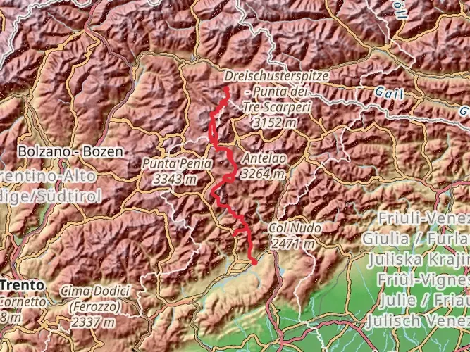
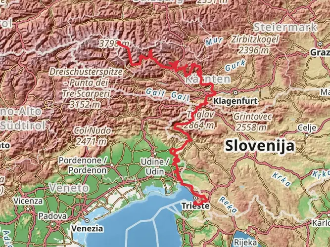
Embarking on the Herz-Ass-Vilgratental trail, hikers will traverse approximately 72 kilometers (about 45 miles) of stunning alpine terrain with an elevation gain of around 5200 meters (approximately 17,060 feet). This point-to-point journey begins near Bezirk Lienz, Austria, and is considered extra difficult due to its challenging climbs and technical sections.
Getting to the Trailhead
To reach the starting point of the Herz-Ass-Vilgratental trail, hikers can either drive or use public transportation. If driving, the trailhead is accessible via the town of Sillian in East Tyrol, which is well-connected by road. For those preferring public transport, regular bus services run from Lienz to Sillian, and from there, local taxis or sometimes buses can take you to the trailhead.
Navigating the Trail
Hikers should be prepared with a reliable navigation tool such as HiiKER to assist with the route, which is marked but can be challenging to follow in places, especially during inclement weather or at higher altitudes where the trail may be less defined.
Trail Highlights and Landmarks
The trail offers a rich tapestry of alpine landscapes, including lush meadows, dense forests, and rugged peaks. As you ascend, you'll encounter a variety of flora and fauna unique to the region. Keep an eye out for marmots, chamois, and golden eagles. The trail also passes through several traditional alpine villages where hikers can experience local culture and hospitality.
Historical Significance
The region is steeped in history, with many of the paths crossing areas that have been used for centuries by locals for trade and travel. The trail itself winds through the Villgraten Valley, which has a storied past of agriculture and pastoralism, and hikers will see evidence of this in the ancient farmsteads and pastures.
Elevation and Distance Breakdown
The trail's elevation gain is significant, with some days requiring ascents of over 1000 meters (3280 feet). The first major ascent will bring you to the breathtaking views of the Villgraten Mountains, a subrange of the Alps. The highest point of the trail is often reached within the first third of the journey, after which the path undulates across various mountain passes.
Preparing for the Hike
Given the trail's difficulty rating, hikers should be in excellent physical condition and have experience with multi-day treks. The weather can change rapidly in the mountains, so be prepared with appropriate gear for all conditions. It's also advisable to carry a first-aid kit, sufficient water, and food supplies, as there are limited opportunities to resupply along the route.
Accommodation and Resupply Points
There are mountain huts and guesthouses sporadically located along the trail, providing opportunities for rest and resupply. It's essential to book these in advance, especially during the peak hiking season, to ensure availability.
Safety Considerations
The trail can be treacherous in places with steep drops and loose scree. It's crucial to have sturdy hiking boots and consider trekking poles for additional stability. Always inform someone of your itinerary and expected return, as mobile reception can be unreliable in the mountains.
By preparing adequately and respecting the trail's challenges, hikers can look forward to an unforgettable adventure through one of Austria's most beautiful and rugged landscapes.

Frequently asked questions
How long does the Herz-Ass-Vilgratental hike take to complete?
Herz-Ass-Vilgratental is a 71.6 km multi-day route with 5,204 m of climbing, so it is usually planned as a several-day outing rather than a single hike. The official Herz-Ass Villgratental route in the Villgraten Mountains is commonly divided into five stages, with total walking time listed at about 34 hours across sections linking Außervillgraten, Winkeltal, Volkzeinerhütte, Unterstalleralm, Kalkstein, and the Thurntaler area.
Is the Herz-Ass-Vilgratental a hut-to-hut hike in Villgratental?
Herz-Ass-Vilgratental can include overnight stops, but it is not presented locally as a classic hut-to-hut tour. The route has lodging and refreshment points along the way, including Reiterstube in Winkeltal, Volkzeiner Hütte, Jausenstation Unterstalleralm, Badl-Alm in Kalkstein, and Thurntaler Rast, while local tourism information notes that many hikers base themselves in Innervillgraten or Außervillgraten and hike the stages individually.
Where does the Herz-Ass-Vilgratental start and finish?
The Herz-Ass-Vilgratental route starts in Außervillgraten in East Tyrol and finishes in the Thurntaler area. On the official stage breakdown, the first day runs from Außervillgraten to the Reiterstube in Winkeltal, and the final stage continues from Kalkstein to Gadein on the Thurntaler, giving the route a clear west-to-east progression around the Villgraten Mountains.
Does the Herz-Ass-Vilgratental go through Winkeltal?
Yes. Winkeltal is one of the key valleys on Herz-Ass-Vilgratental, and it appears early in the route. The first stage ends at the Reiterstube in Winkeltal, and the second stage continues from there to Volkzeinerhütte, so hikers spend a substantial part of the opening section in the Winkeltal area.
How hard is the Herz-Ass-Vilgratental hike in Austria?
Herz-Ass-Vilgratental is a demanding alpine route. HiiKER classifies it as Extra Difficult, and the route packs 71.6 km with 5,204 m of ascent into a multi-day itinerary. Even where local stage descriptions rate individual sections as moderate, the cumulative distance, repeated high passes, and sustained elevation gain make it better suited to experienced mountain hikers.
What are the main stages of the Herz-Ass-Vilgratental hike?
Herz-Ass-Vilgratental is commonly split into five stages around the Villgraten Mountains. The official breakdown lists Außervillgraten to Reiterstube at 17.6 km, Reiterstube to Volkzeinerhütte at 13.7 km, Volkzeinerhütte to Unterstalleralm at 12.5 km, Unterstalleralm to Kalkstein at 12.2 km, and Kalkstein to Gadein Thurntaler at 19 km.
Is the Herz-Ass-Vilgratental in the Bergsteigerdorf Villgratental area?
Yes. Herz-Ass-Vilgratental runs through the Villgratental area in East Tyrol, including Außervillgraten and Innervillgraten, which are part of the Bergsteigerdorf Villgratental mountaineering-village landscape. The route circles the Villgraten Mountains and links places such as Winkeltal, Volkzeiner Hütte, Unterstalleralm, and Kalkstein.
Comments and Reviews
User comments, reviews and discussions about the Herz-Ass-Vilgratental, Austria.
4.33
average rating out of 5
6 rating(s)