Search a hike or location
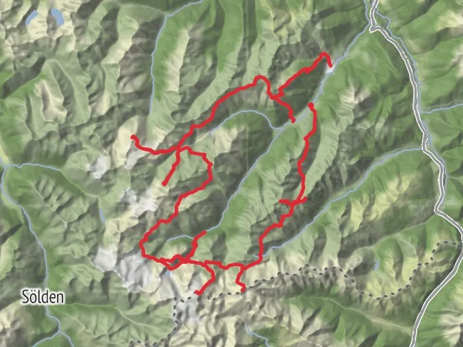
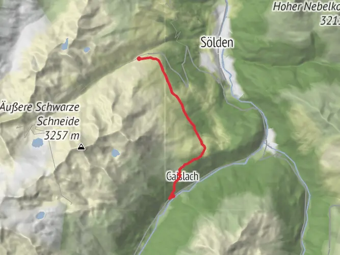
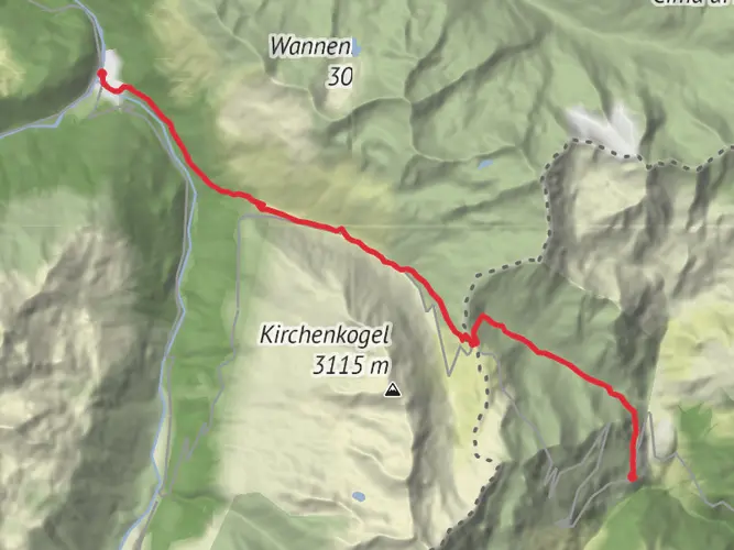
Imst, Austria
Download
3D Flyover
Add to list
Complete
More
10.0 km
~2 hrs 29 min
295 m
Point to Point
Tag 5.2.1.
User comments, reviews and discussions about the Hike from Sölden via Mutboden, Austria.
5.0 star
average rating out of 5
1 rating(s)
Nearby Hikes
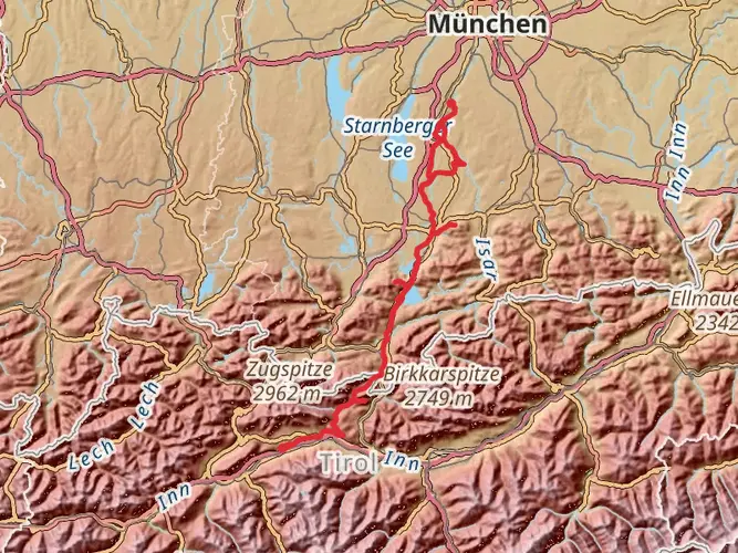
Jakobsweg Isar-Loisach-Leutascher Ache-Inn
München, Germany
132.6 km · 1846 m
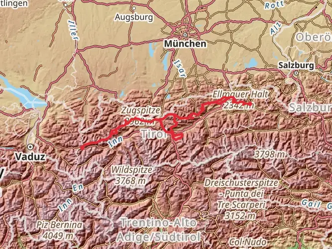
Adlerweg
Bezirk Kitzbühel, Austria
379.0 km · 18459 m
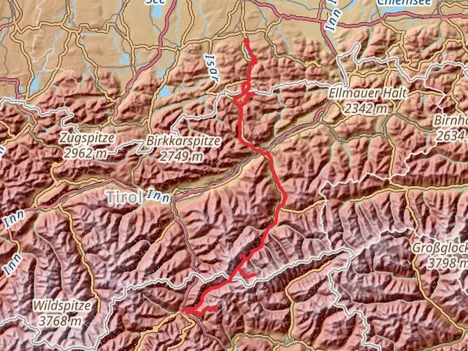
Die Alpenüberquerung
Miesbach, Germany
160.3 km · 3986 m
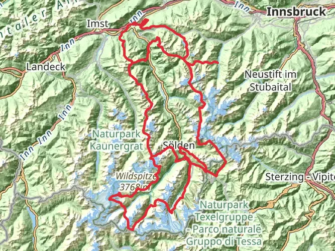
Ötztal Trek
Bezirk Imst, Austria
241.9 km · 14654 m
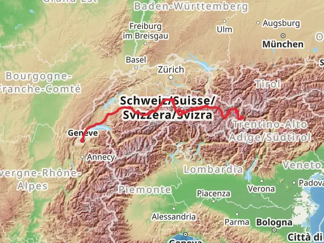
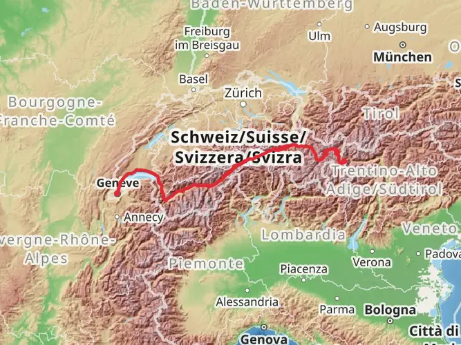
Camino Müstair-Geneva via Interlaken
Region Engiadina Bassa/Val Müstair, Switzerland
623.7 km · 13626 m
Camino Müstair-Geneva via Martigny
616.9 km · 12596 m
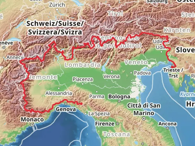
Sentiero Italia - Alps Section
Muggia, Italy
2775.8 km · 109792 m
Stubai High Trail
Bezirk Innsbruck-Land, Austria
82.3 km · 6184 m
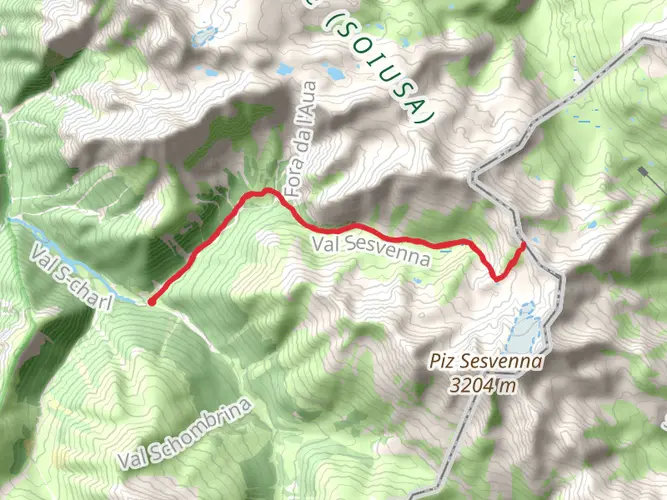
S - Charl to Val Sesvenna and Fuorcla Sesvenna
16.1 km · 1024 m
Val d'Uina
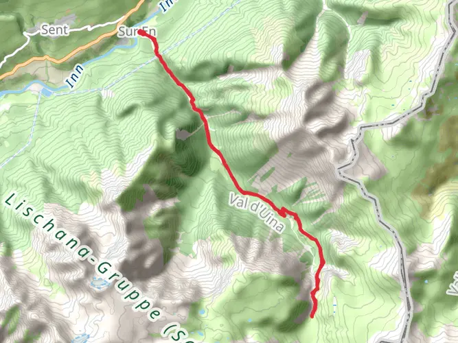
18.9 km · 1177 m
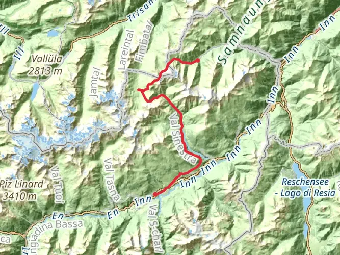
Senda Scuol–Samnaun
36.2 km · 2055 m
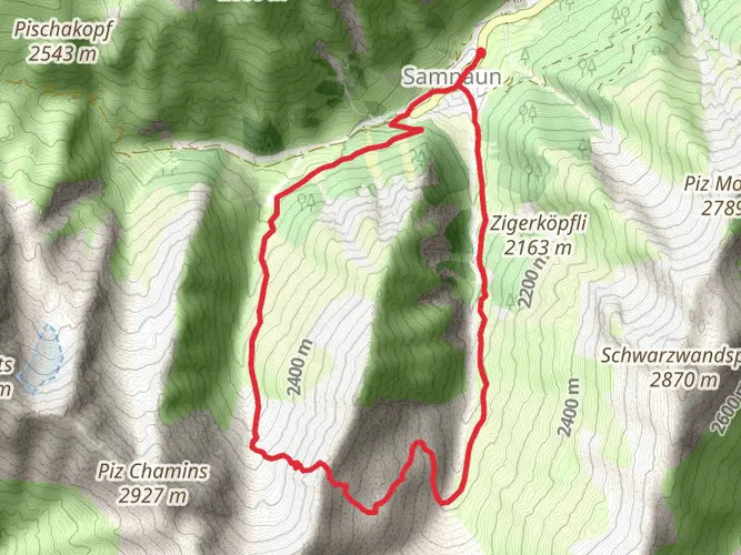
Stammerjoch-Weg
10.5 km · 845 m
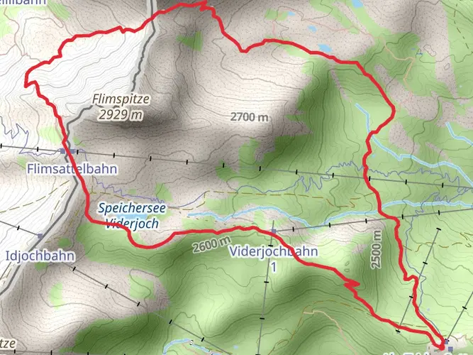
Flimspitz-Rundweg
7.9 km · 501 m
Wolf Trail
Puck, Poland
3544.0 km · 71059 m
Glurnser Köpfl and Lackboden
Prato Allo Stelvio, Italy
9.0 km · 898 m
Bivacco Pixner
Moos in Passeier, Italy
4.9 km · 1122 m
Hike from Imst via Gaislach
7.1 km · 165 m
Hike from Imst
18.5 km · 1383 m
Hike from Sölden
12.9 km · 1301 m
Continue in App
Continue in Browser
Choose which optional cookies and similar technologies HiiKER can use on this device. Privacy & cookie policy
Sign-in, security, checkout, support chat when you open it, and remembering these choices.
Google Analytics and PostHog (our own EU-hosted analytics) — which pages are visited and how features are used, so we can improve HiiKER.
Google Ads, Meta, Reddit and X pixels and Rewardful referral tracking — they tell those platforms when someone arrives from, or buys after, one of our ads or referrals. Turning this off opts you out of the "sale" or "sharing" of your personal information for targeted advertising.