Download
3D Flyover
Add to list
More
Trail length
9.0 km
Time
~3 hrs 23 min
Elevation Gain
952 m
Hike Type
Out and Back
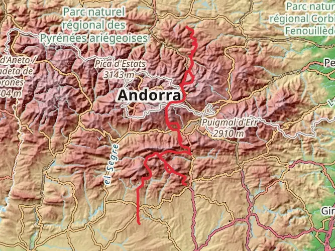
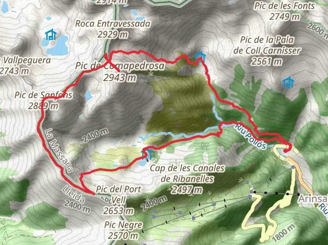
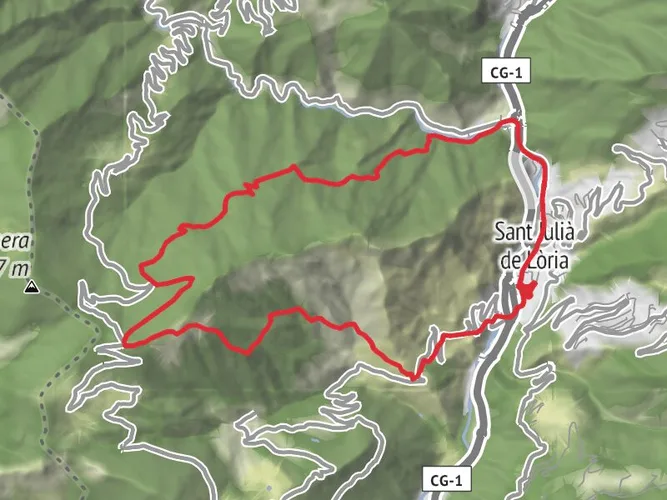
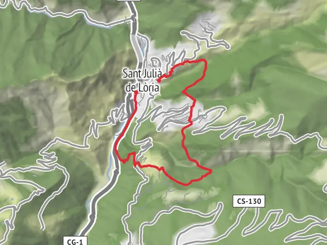
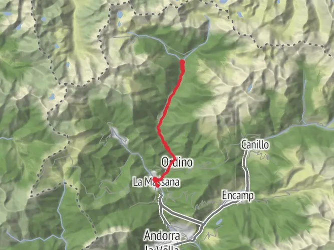
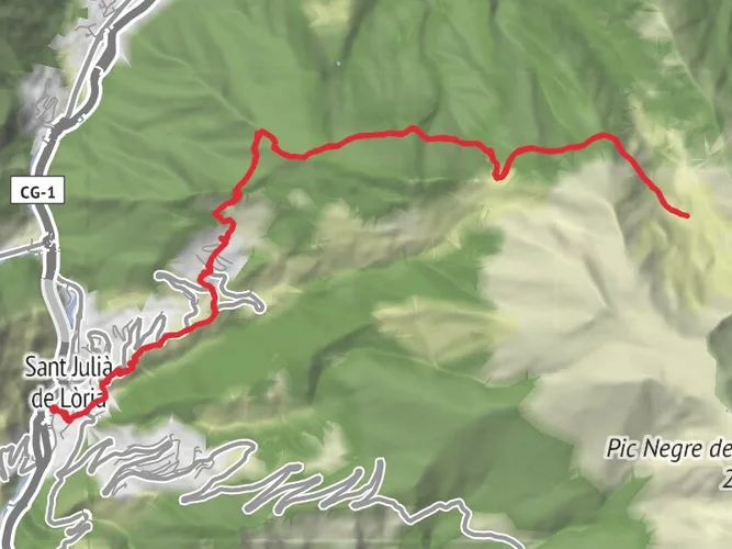
Ascensió al 3er pic més alt d'Andorra, el pic de la Serrera amb 1912 m. Ascensió exigent però es pot fer amb un nivell mínim o no molt alt d'experiència o de tècnica. Vall molt bonica i molt fresca en tot el primer tram i vistes panoràmiques espectaculars sobre la part nord d'Andorra i França. Un punt d'aigua a mig camí.

Created by
AndorraBackpacker

What to expect?
Activity types
Surfaces
Unknown
Unpaved
Comments and Reviews
User comments, reviews and discussions about the Pic de la Serrera, Andorra.
average rating out of 5
0 rating(s)