Download
3D Flyover
Add to list
More
Trail length
22.0 km
Time
~4 hrs 57 min
Elevation Gain
333 m
Hike Type
Out and Back
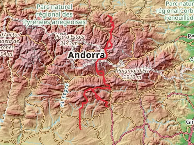
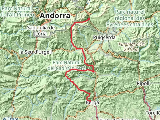
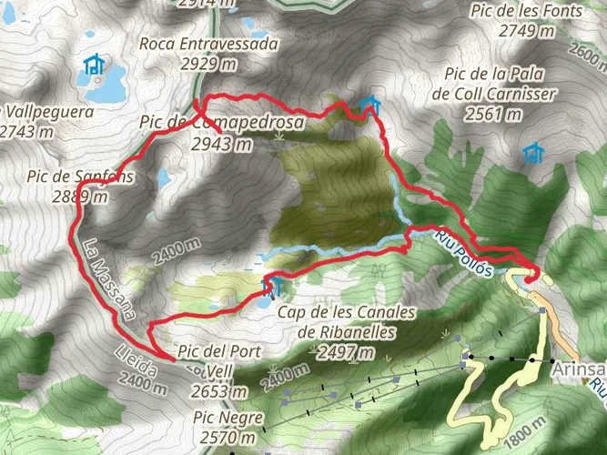
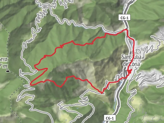
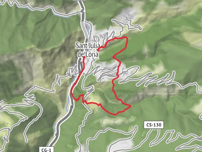
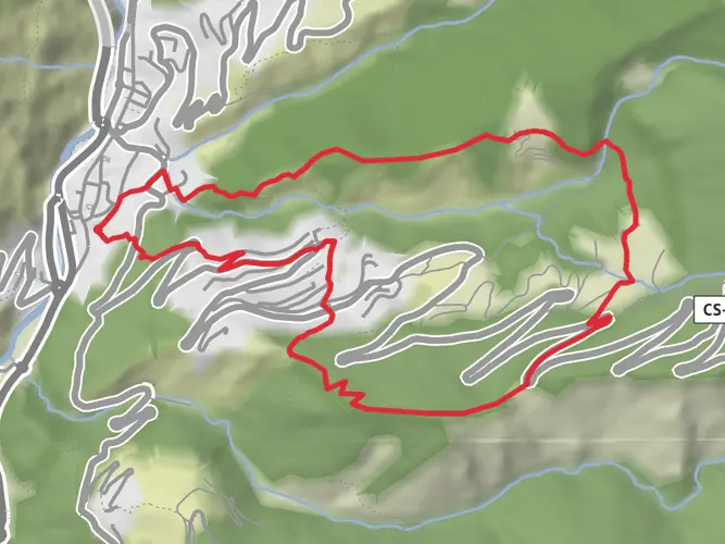
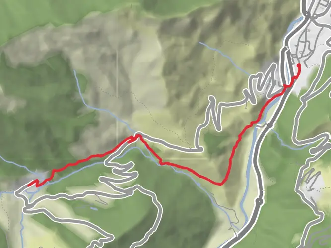
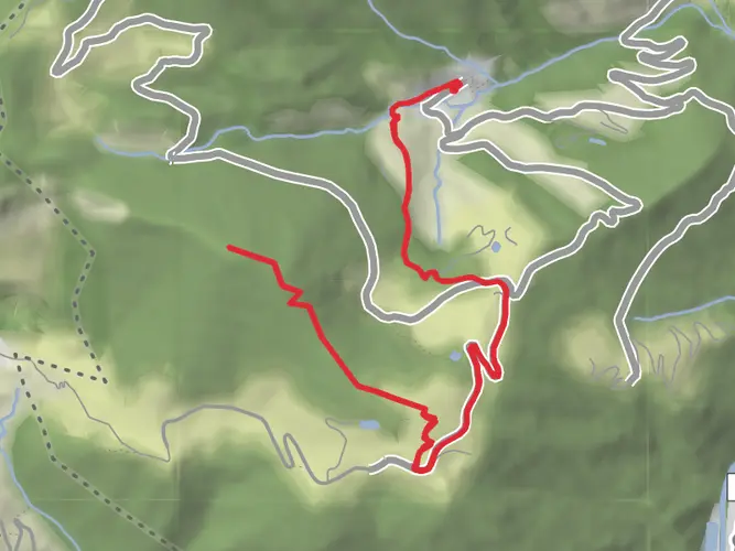
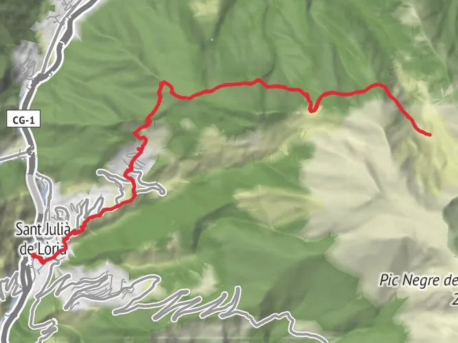
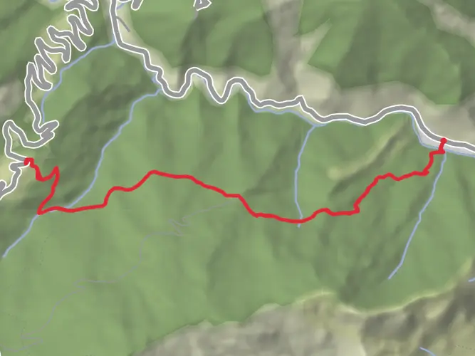
Randonnée facile au départ de La Massana, idéale pour une sortie tranquille. Le parcours d’environ 22 km alterne routes et sentiers avec de belles vues sur la vallée et les montagnes andorranes. Le dénivelé positif modéré d’environ 370 m (460 m de descente) la rend accessible à la plupart des randonneurs, tout en offrant une belle immersion dans la nature autour du village.

Created by
AndorraBackpacker
AI Planner
Days planned around your pace, with somewhere to stay each night.

What to expect?
Activity types
Surfaces
Unknown
Asphalt
Gravel
Paved
Concrete
Comments and Reviews
User comments, reviews and discussions about the El Serrat–Camí del Ferro, Andorra.
5.0
average rating out of 5
1 rating(s)