Distance
10.5 km
Duration
3 hrs 33 min
Elevation
872 m
Distance
10.3 km
Duration
2 hrs 10 min
Elevation
66 m
Distance
17.4 km
Duration
4 hrs 19 min
Elevation
512 m
Distance
15.4 km
Duration
4 hrs 38 min
Elevation
943 m
Difficult
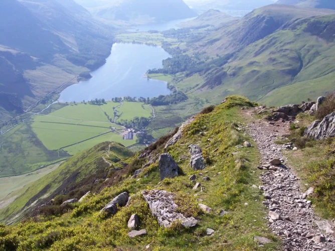
Fleetwith Pike, Innominate Tarn, Innominate Peak, Seavy Knott and Brandreth Loop
Cumberland, England
Distance
16.0 km
Duration
5 hrs 32 min
Elevation
1402 m
Difficult
Seathwaite Tarn, Great Carrs, Swirl How and Old Man of Coniston Loop
Westmorland and Furness, England
Distance
15.1 km
Duration
4 hrs 45 min
Elevation
1038 m
Distance
13.8 km
Duration
4 hrs 6 min
Elevation
814 m
Distance
7.3 km
Duration
1 hrs 48 min
Elevation
212 m

Distance
16.9 km
Duration
4 hrs 52 min
Elevation
900 m
Distance
14.7 km
Duration
3 hrs 28 min
Elevation
327 m
Distance
16.8 km
Duration
4 hrs 37 min
Elevation
758 m
Difficult
Whiteless Pike, Thirdgill Head Man, Grasmoor and Rannerdale Knotts Loop
Cumberland, England
Distance
12.7 km
Duration
4 hrs 22 min
Elevation
1092 m
Distance
11.1 km
Duration
3 hrs 2 min
Elevation
494 m
Distance
17.0 km
Duration
4 hrs 8 min
Elevation
448 m
Distance
3.7 km
Duration
1 hrs 2 min
Elevation
172 m

Distance
14.0 km
Duration
4 hrs 27 min
Elevation
993 m

Distance
13.0 km
Duration
3 hrs 20 min
Elevation
444 m
Difficult
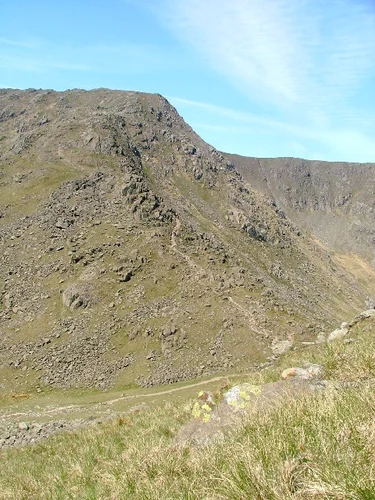
Pike of Stickle, Thunacar Knott, High Raise, Sergeant Man and Stickle Tarn Loop
Westmorland and Furness, England
Distance
13.1 km
Duration
4 hrs 10 min
Elevation
934 m
Difficult
Blea Rigg, Sergeant Man, Thunacar Knott and Loft Crag Loop
Westmorland and Furness, England
Distance
10.7 km
Duration
3 hrs 33 min
Elevation
853 m

Difficult
Loft Crag, Stake Pass, High Raise, Sergeant Man and Stickle Tarn Loop
Westmorland and Furness, England
Distance
11.5 km
Duration
3 hrs 54 min
Elevation
963 m
Distance
19.7 km
Duration
2 days
Elevation
932 m
Comments
User comments and discussions about Lake District.
0 comment(s)
Copied!
List URL copied to clipboard!