
Top hiking trails app
“This app has everything and continues to improve to bring even better features we didn't know we need. It makes planning for all my long adventures much easier and less time wasted. 10/10”


A phenomenal filmaker, creator, campaigner, teacher and all round legend! Abbie Barnes has supported HiiKER from the beginning. To thank them we're giving Abbie's followers a whopping 50% off HiiKER PRO+
YEARLY SUBSCRIPTION
USD
49.99
25.00
/ year
Annual Renewal • Cancel anytime

750k+ happy hikers
4.8 rating
Cheaper than ALL other hiking apps
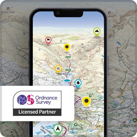
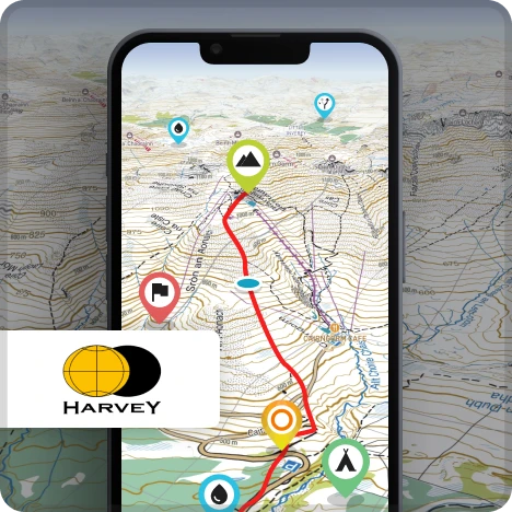
Nationwide Ordnance Survey Maps Harvey Maps 1800's historical maps A global collection of hiking maps Online and Offline All available in 3D
“This app has everything and continues to improve to bring even better features we didn't know we need. It makes planning for all my long adventures much easier and less time wasted. 10/10”
“Best hiking app out there. Plan hikes easily as it gives distance and times so save time in planning. The GPS is really good — it finds your location quickly even in bad weather. Overall I would highly recommend this app.”
“Excellent hiking app! I'm very satisfied with the navigation, the simple and intuitive interface, and the easy GPX track import. One of the best hiking apps for advanced users who want to create their own tours and rely on accurate weather forecasts.”
Our goal is to gather ALL of the world's best mapping titles.
Map collections
 PRO+ Toolkit
You get access to all HiiKER premium map collections plus these essential hiking safety and preparation tools.

Let them know where you are. Share a unique link with others to follow your map location LIVE on the website or app.

Quickly segment a trail to calculate distances and the elevation you might face — perfect for sizing up the day ahead.

Print high-quality A4 OSM maps of any of our verified trails to serve as a physical companion to your trusty HiiKER app.

Prepare for the conditions ahead with live weather maps to see temperature, rainfall, snow, wind and cloud cover

Plan out each day of your next epic adventure with with the most comprehensive hike planning tools in the world.