

LIMITED OFFER
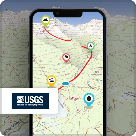
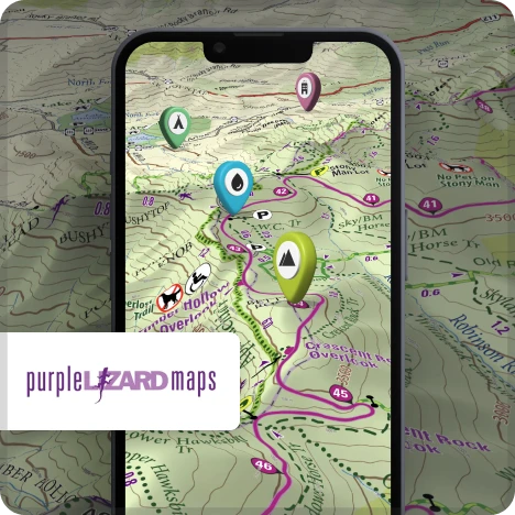
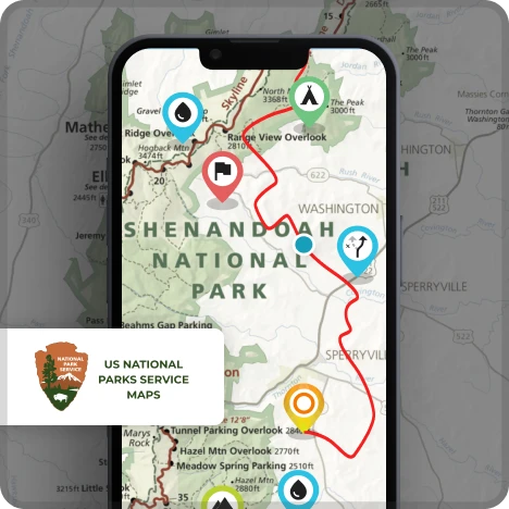
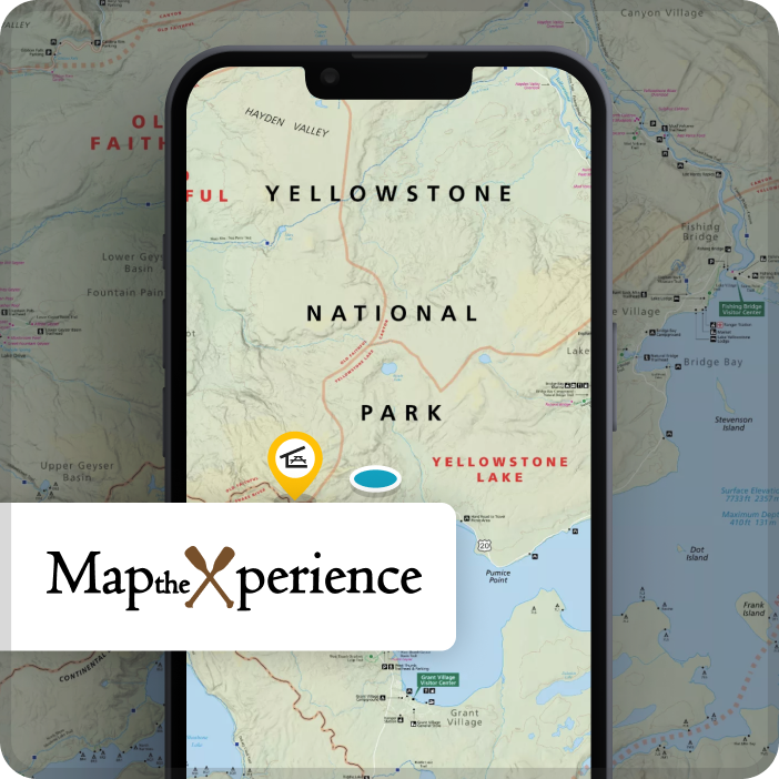
Nationwide USGS coverage Historical Maps from Late 1800's Purple Lizard Map the Xperience 63 official National Park Maps Online and Offline All available in 3D
YEARLY SUBSCRIPTION
USD
29.99
14.99
/ year
Annual Renewal • Cancel anytime

750k+ happy hikers
4.8 rating
Cheaper than ALL other hiking apps

Easy to access map collections
Our goal is to gather ALL of the worlds best mapping titles!
Map collections

A hiking toolkit built by hikers, for hikers
Not only do you get access to ALL of HiiKER premium map collections around the world, you also get these essential hiking safety and preparation tools.

Live Locator
Let them know where you are. Share a unique link with others to let them follow your map location LIVE on the website or app.

Measurement tool
Quickly segment a trail to calculate distances and the elevation you might face. Very useful for seeing what's ahead and measuring sections of your hike.

Print custom route maps
Print hight quality a4 size OSM maps of any our our verified trails to serve as a physical companion to your trusty HiiKER app.

Trail stages
A must when preparing for longer distance trails. HiiKER provides recommended stages to hike each day to help plan your trek.