DAYS
HOURS
MINS
SECS
SALE ENDS SOON!
DISCOUNT ON ALL PRO+ FEATURES
DAYS
HOURS
MINS
SECS
DISCOUNT ON ALL PRO+ FEATURES
43.5 km
~ 3 days
1642 m
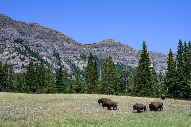
"A wonderous hike from the heart of Park County"
The Pebble Creek Trail to Bliss Pass is a 43.5 km
looped trail that starts and ends in Yellowstone National Park,
Park County, Wyoming.
Based on our data, the trail is graded as Medium.
For information on how we grade trails, please read measuring the difficulty of a hiking trail on hiiker.
Also, check our latest community posts for trail updates.
This trail can be completed in approx 3 days. Caution is advised on trail
times as this depends on multiple variables. For more info read about how we calculate hike time.
User comments, reviews and discussions about the Pebble Creek Trail to Bliss Pass, Wyoming.
0.0
average rating out of 5
0 rating(s)