The best hikes in Ozaukee County
Wisconsin · 18 HiiKER Hikes
View Hikes on map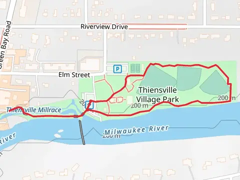
What to expect
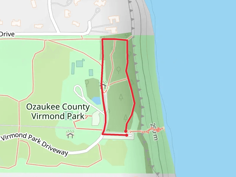
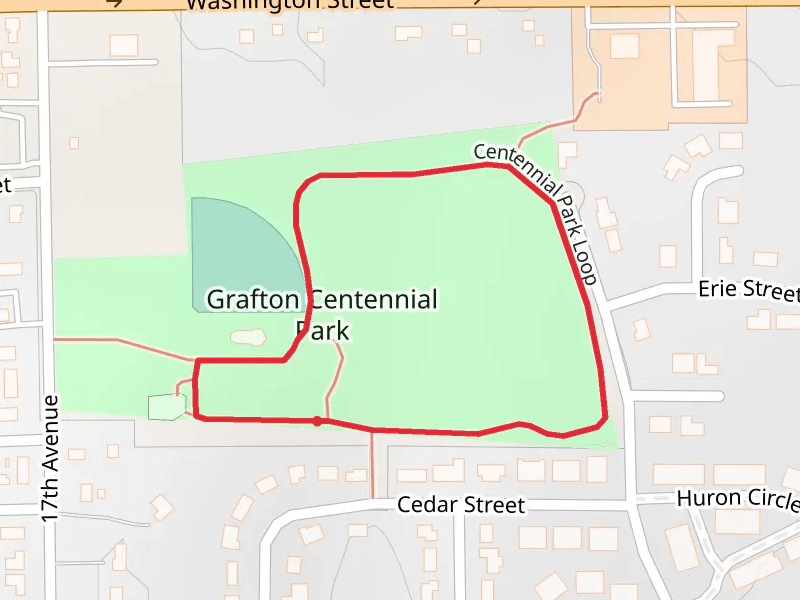
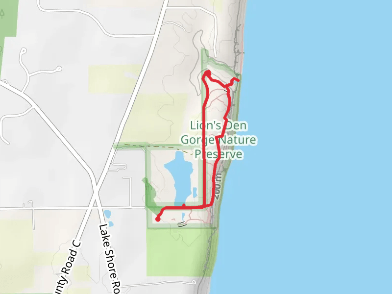
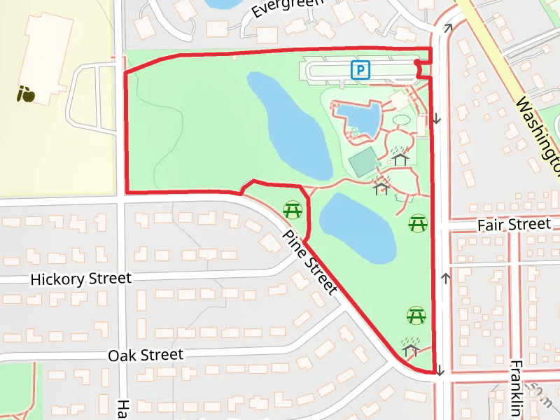
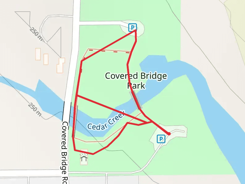
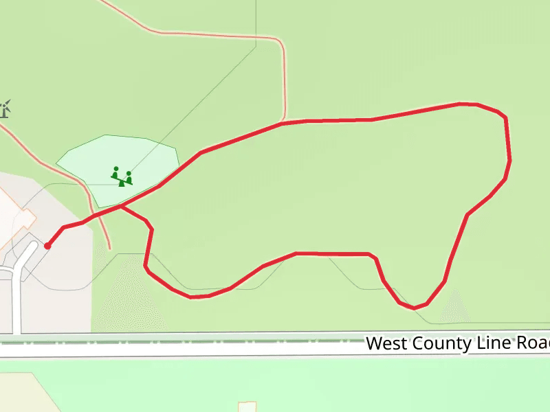
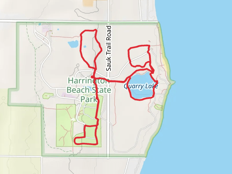
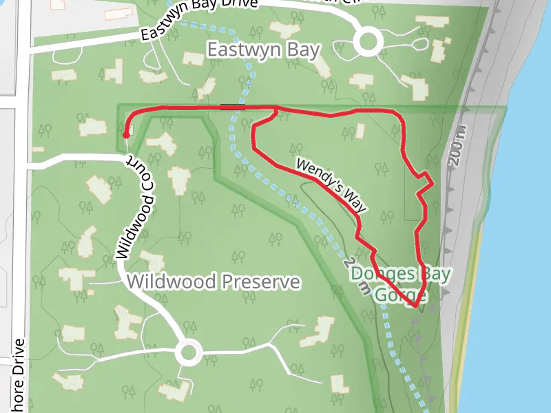
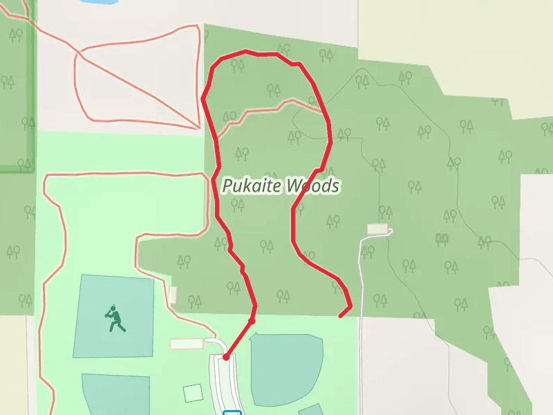
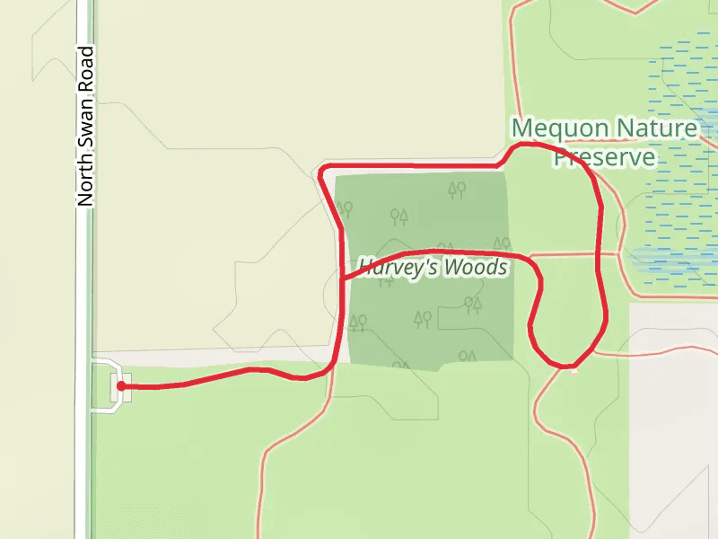
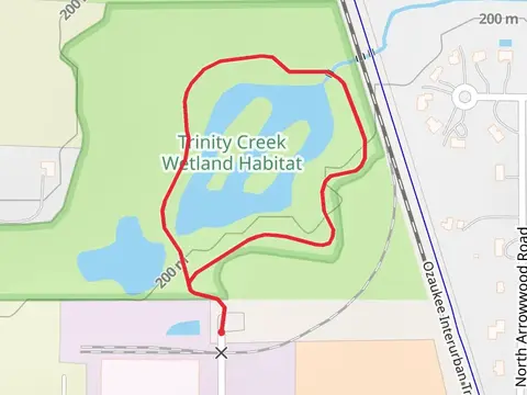
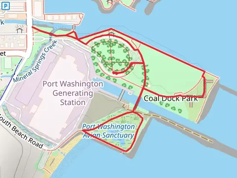
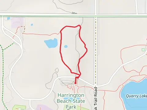
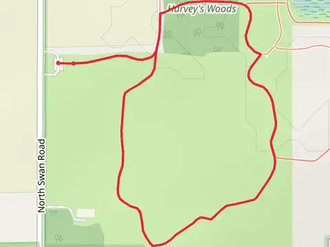
Check out some of the best hiking, walking and backpacking routes in Ozaukee County, Wisconsin. The West County Line Loop is the most popular trail. There are trails of various difficulty levels including easy and medium. The trail with the highest elevation climb is the Centennial Park Loop and the trail with the least amount of climbing is the Coal Dock Park Loop. The longest trail is the Quarry Lake and Bobolink Loop Trail at 7.2 km. For a shorter adventure you can try the Covered Bridge Road Loop at 659 m. Get off line access to Town, Fastfood, Healthcare, and Shelter locations and much more with a Hiiker subscription.

Be prepared for hiking in Wisconsin with the HiiKER app