North Country Trail - Wisconsin trail stages
stage 1
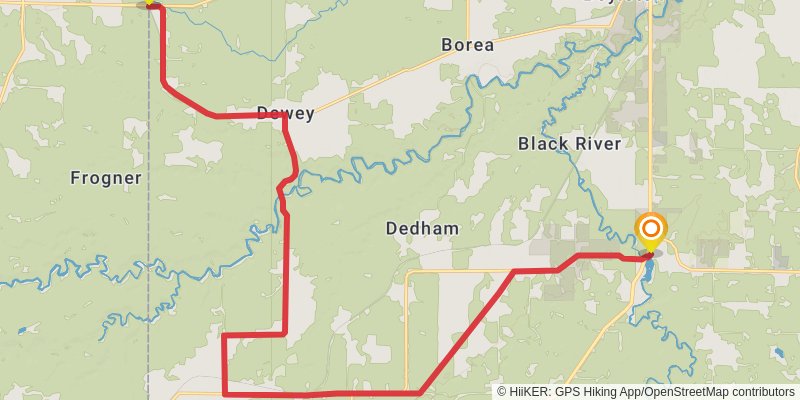
Starting at: Superior, Douglas County, 54880
Ending at: Superior, Douglas County, 54880
Distance: 28.1 km
Elevation gain: 183 m
Duration: 05:55:14
stage 2
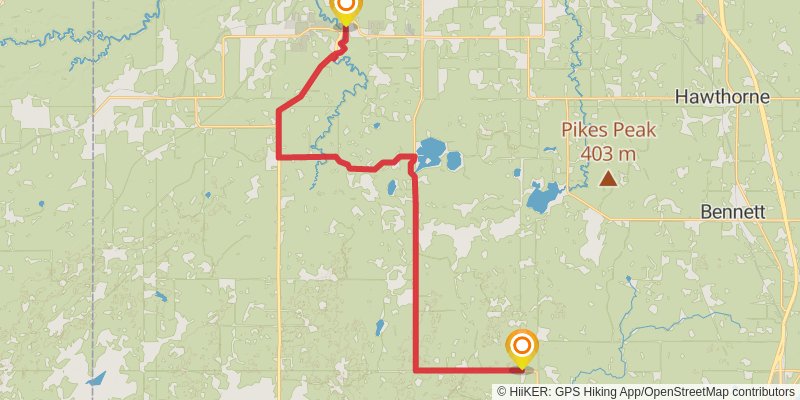
Starting at: Superior, Douglas County, 54880
Ending at: Gordon, Douglas County, 54873
Distance: 34.1 km
Elevation gain: 184 m
Duration: 07:07:03
stage 3
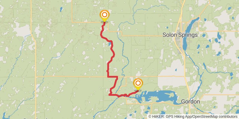
Starting at: Gordon, Douglas County, 54873
Ending at: Gordon, Douglas County, 54838
Distance: 23.9 km
Elevation gain: 134 m
Duration: 05:00:37
stage 4
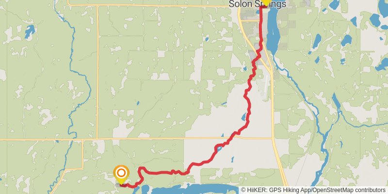
Starting at: Douglas County, 54838
Ending at: Solon Springs, Douglas County, 54873
Distance: 18.3 km
Elevation gain: 224 m
Duration: 04:01:43
stage 5
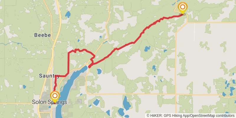
Starting at: Solon Springs, Douglas County, 54873
Ending at: Highland, Douglas County, 54849
Distance: 21.8 km
Elevation gain: 456 m
Duration: 05:07:26
stage 6
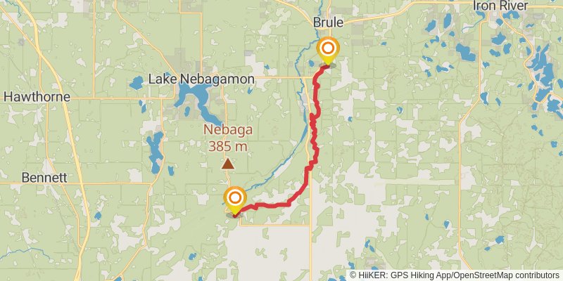
Starting at: Highland Townhall, Highland, Douglas County, 54849
Ending at: Town of Brule, Bayfield County, 54820
Distance: 20.3 km
Elevation gain: 390 m
Duration: 04:42:39
stage 7
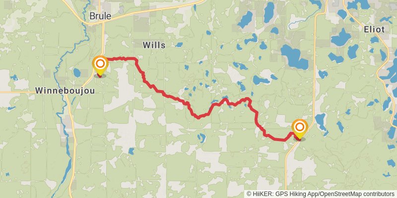
Starting at: Brule, Douglas County, 54820
Ending at: Iron River, Bayfield County, 54847
Distance: 17.6 km
Elevation gain: 338 m
Duration: 04:04:31
stage 8
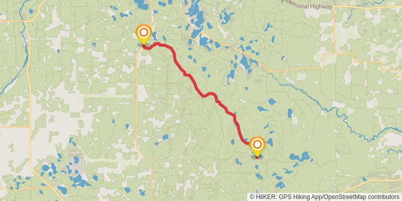
Starting at: Iron River, Bayfield County, 54847
Ending at: Drummond, Bayfield County, 54832
Distance: 20.2 km
Elevation gain: 511 m
Duration: 04:53:32
stage 9
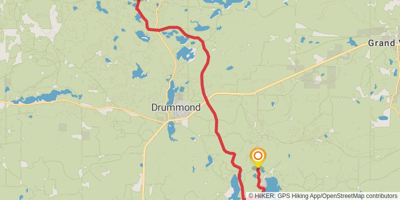
Starting at: Drummond, Bayfield County, 54832
Ending at: Drummond, Bayfield County, 54832
Distance: 17.2 km
Elevation gain: 421 m
Duration: 04:08:25
stage 10
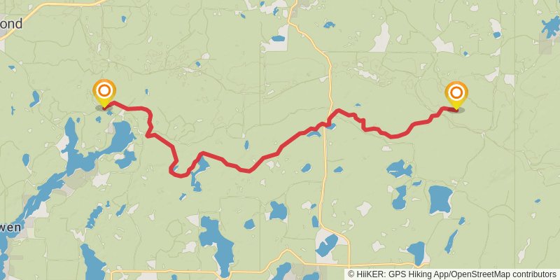
Starting at: Bayfield County, 54839
Ending at: Mason, Bayfield County, 54856
Distance: 18.9 km
Elevation gain: 504 m
Duration: 04:37:21
stage 11
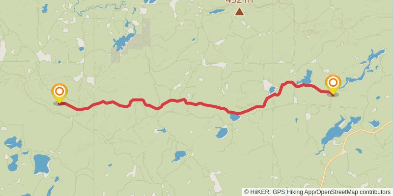
Starting at: Bayfield County, 54856
Ending at: Town of Marengo, Ashland County, 54546
Distance: 17.2 km
Elevation gain: 552 m
Duration: 04:21:36
stage 12
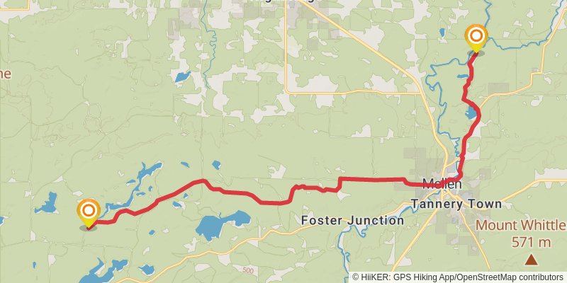
Starting at: Ashland County, 54546
Ending at: Morse, Ashland County, 54546
Distance: 21.5 km
Elevation gain: 239 m
Duration: 04:41:35
stage 13
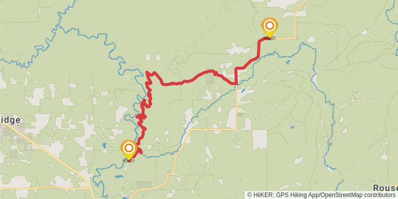
Starting at: Morse, Ashland County, 54546
Ending at: Sanborn, Ashland County, 54559
Distance: 19.2 km
Elevation gain: 421 m
Duration: 04:32:46
stage 14
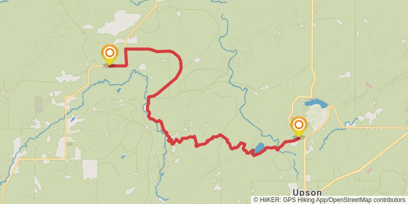
Starting at: Gurney, Iron County, 54559
Ending at: Town of Saxon, Iron County, 54565
Distance: 20.8 km
Elevation gain: 411 m
Duration: 04:51:08
stage 15
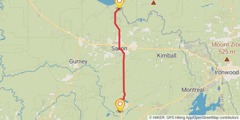
Starting at: Upson, Iron County, 54565
Ending at: Ironwood, Gogebic County, 49938
Distance: 20.3 km
Elevation gain: 99 m
Duration: 04:13:58