The best hikes in Wayne County
West Virginia · 7 HiiKER Hikes
View Hikes on map

What to expect
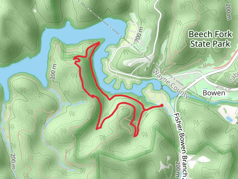
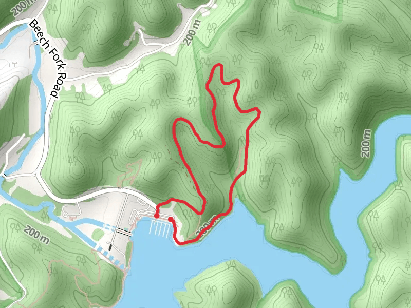
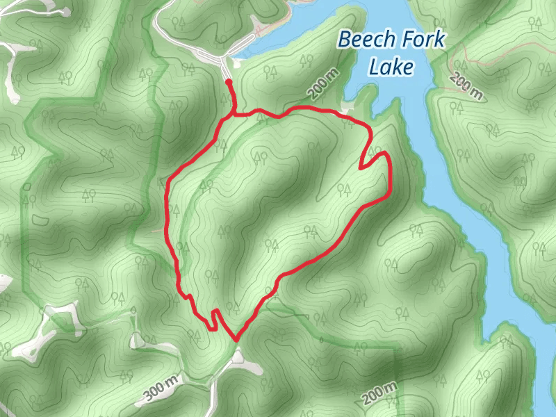
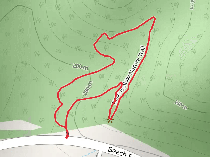
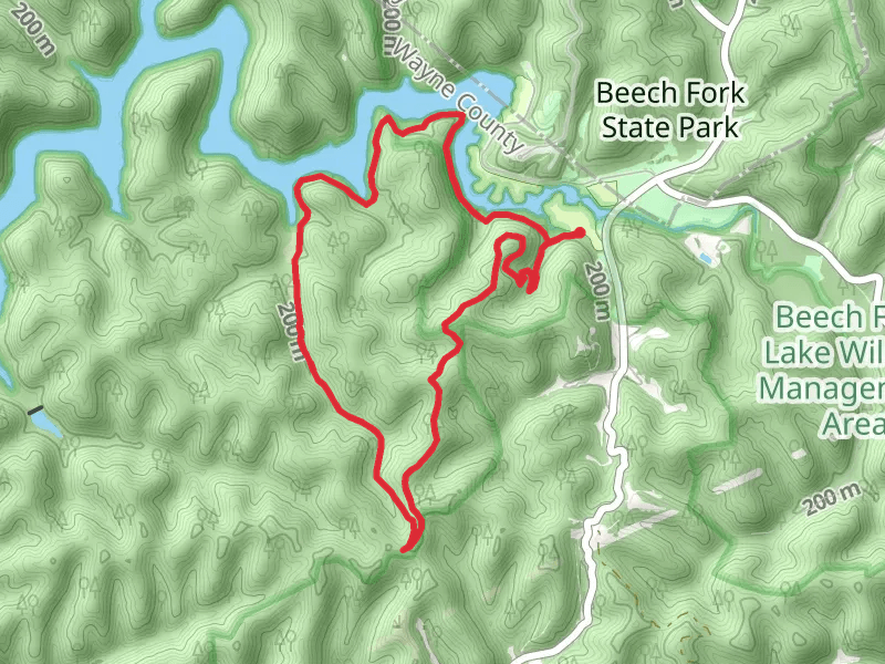
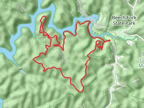
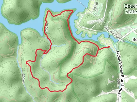
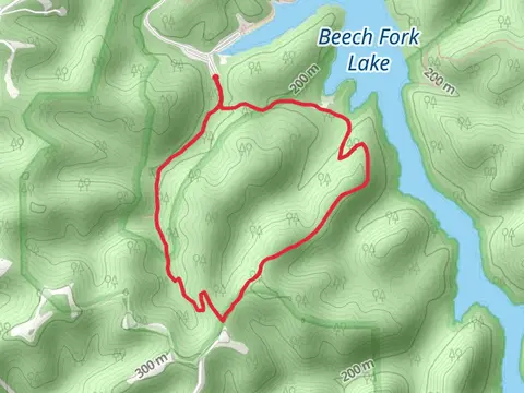
Check out some of the best hiking, walking and backpacking routes in Wayne County, West Virginia. The Beech Fork - Lost Trail is the most popular trail. The trails have 446 user reviews with great photos and information. There are trails of various difficulty levels including medium and difficult. The trail with the highest elevation climb is the Lost, Rubens Branch and Mary Davis Loop Trail and the trail with the least amount of climbing is the Rock Hollow Nature Loop Trail. The longest trail is the Lost, Rubens Branch and Mary Davis Loop Trail at 17.7 km. For a shorter adventure you can try the Rock Hollow Nature Loop Trail at 838 m. Get off line access to History, Viewpoint, Shelter, and Water locations and much more with a Hiiker subscription.

Be prepared for hiking in West Virginia with the HiiKER app