The best hikes in Randolph County
West Virginia · 53 HiiKER Hikes
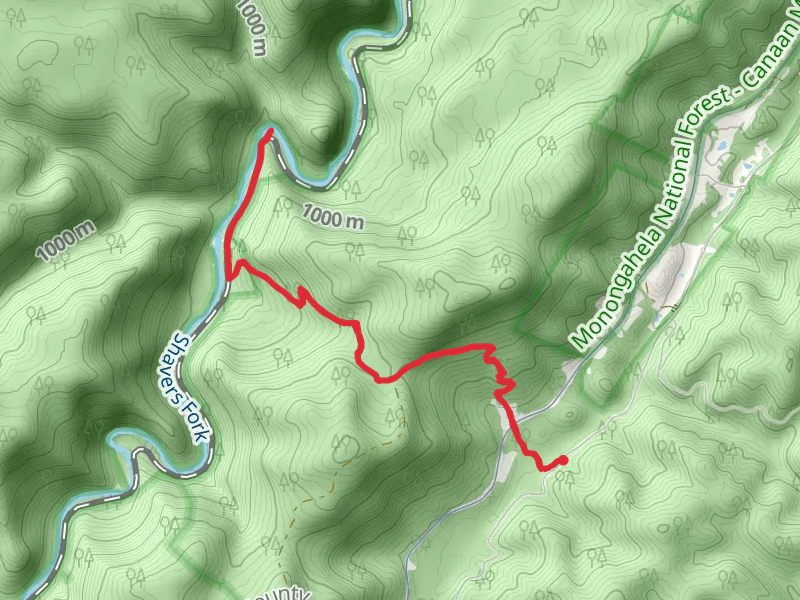
View Hikes on map


What to expect
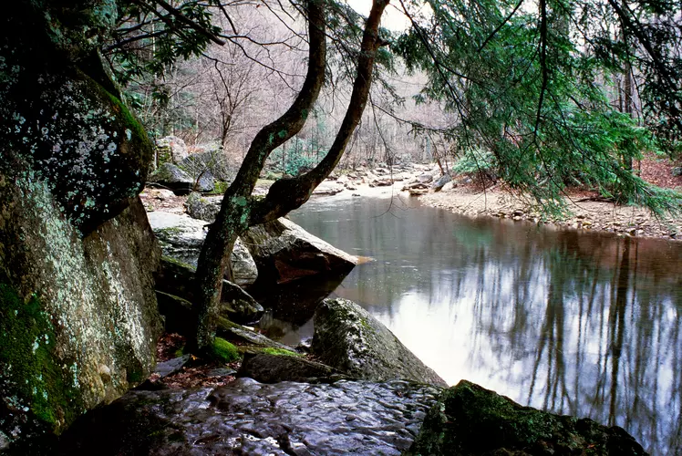
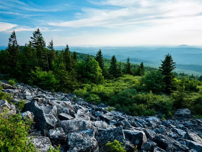
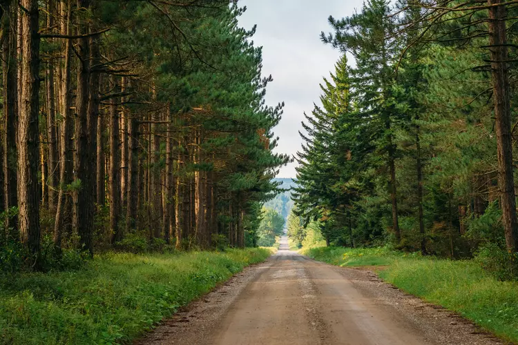
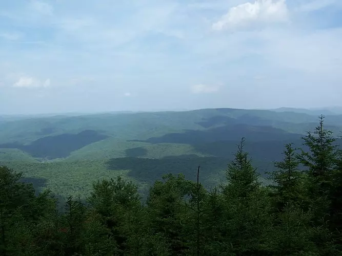
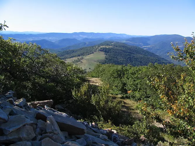
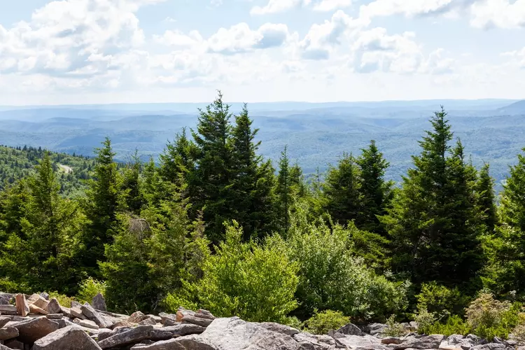
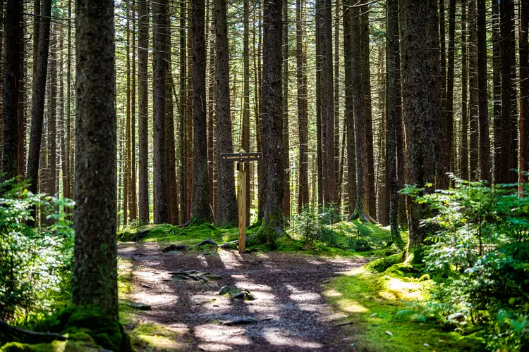
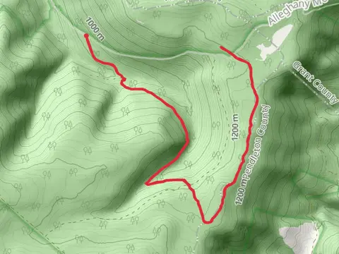
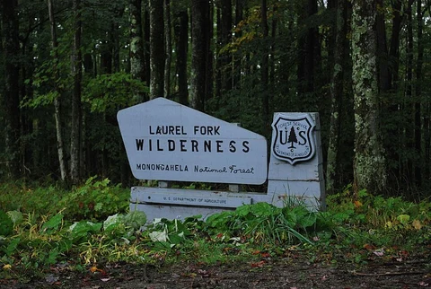
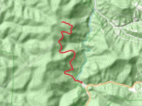
Check out some of the best hiking, walking and backpacking routes in Randolph County, West Virginia. The Otter Creek Loop is the most popular trail. The trails have 1440 user reviews with great photos and information. There are trails of various difficulty levels including easy, medium, and difficult. The trail with the highest elevation climb is the Roaring Plains Trail and the trail with the least amount of climbing is the Elkins Skatepark Loop. The longest trail is the Shavers Mountain Trail at 32.2 km. For a shorter adventure you can try the Bickle Knob Out and Back at 308 m. Get off line access to Healthcare, Water, Campsite, and Peak locations and much more with a Hiiker subscription.

Be prepared for hiking in West Virginia with the HiiKER app