The best hikes in Giles County
Virginia · 33 HiiKER Hikes
View Hikes on map

What to expect
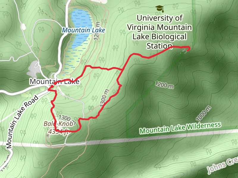
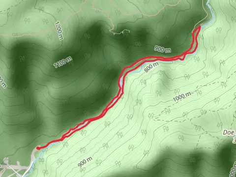
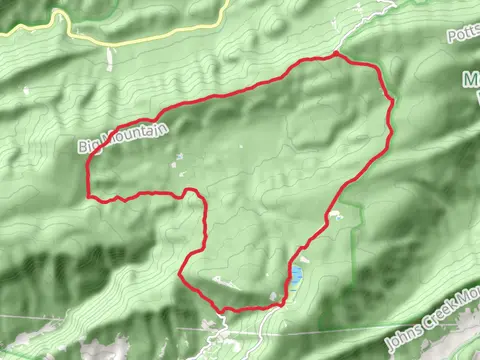
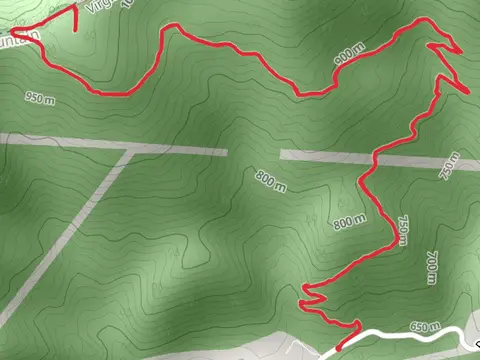
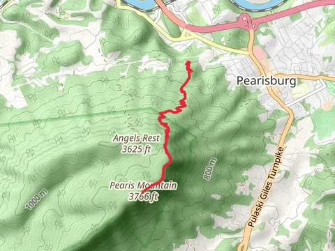
Check out some of the best hiking, walking and backpacking routes in Giles County, Virginia. The Dixon Branch Trail is the most popular trail. The trails have 437 user reviews with great photos and information. There are trails of various difficulty levels including easy, medium, difficult, and extra difficult. The trail with the highest elevation climb is the Bald Knob, Bear Cliffsand Bear Cliffs Connector Loop Trail and the trail with the least amount of climbing is the Cherokee Flats Trail. The longest trail is the Wrights Peak and Hanging Rock via Appalachian Trail at 33.4 km. For a shorter adventure you can try the Cherokee Flats Trail at 787 m. Get off line access to Water, Shelter, Campsite, and Peak locations and much more with a Hiiker subscription.

Be prepared for hiking in Virginia with the HiiKER app