The best hikes in Chesterfield County
Virginia · 25 HiiKER Hikes
View Hikes on map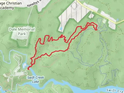
What to expect
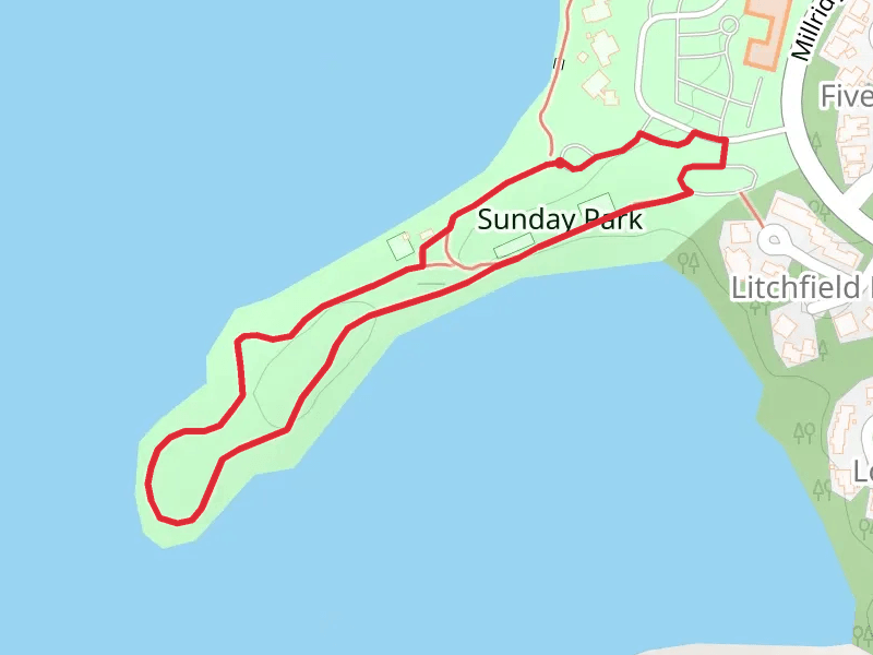
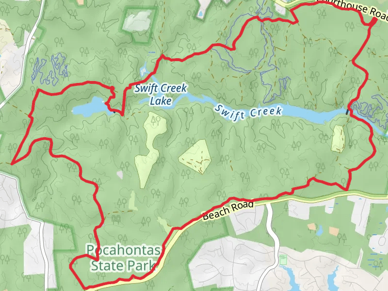
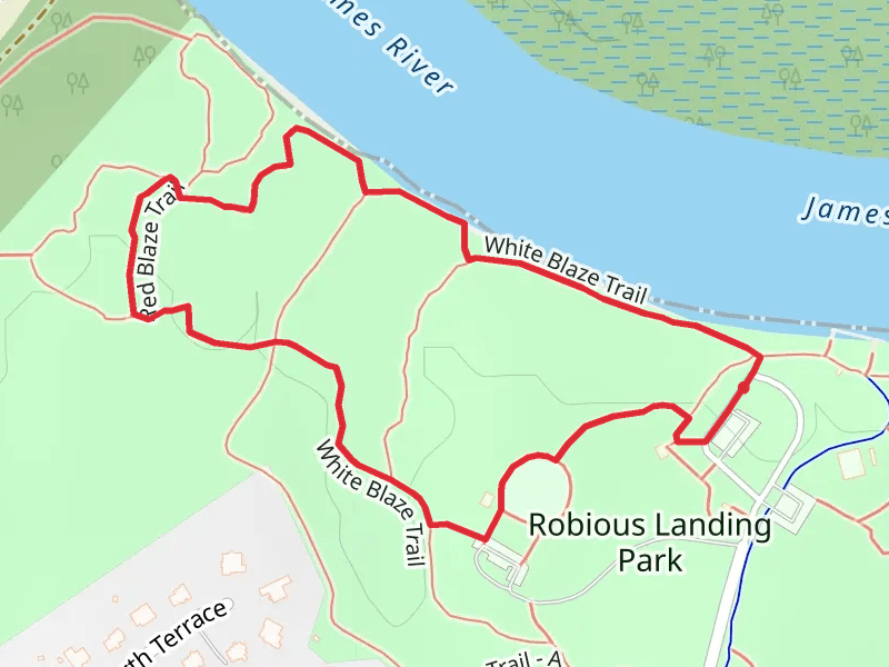
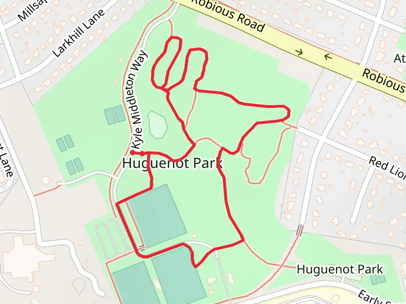
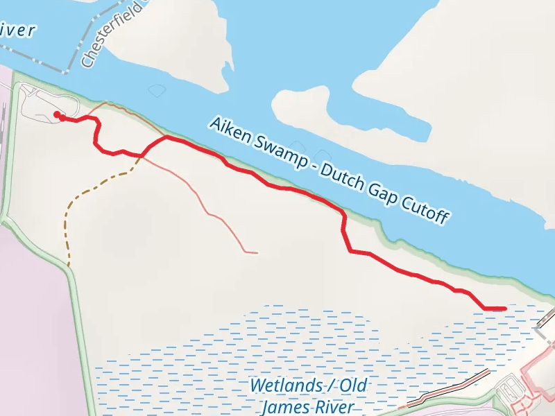
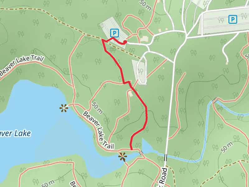
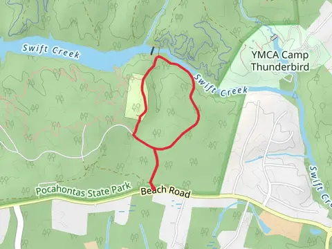
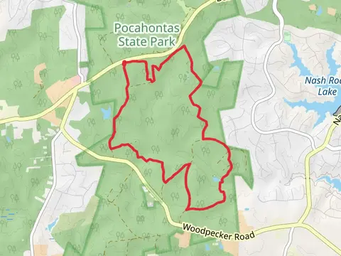
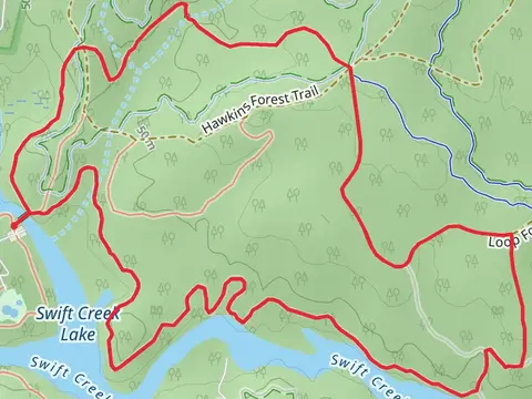
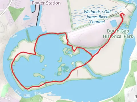
Check out some of the best hiking, walking and backpacking routes in Chesterfield County, Virginia. The Swift Creek and Beaver Lake Loop is the most popular trail. There are trails of various difficulty levels including easy and medium. The trail with the highest elevation climb is the Huguenot Park Loop and the trail with the least amount of climbing is the Dutch Gap Trails. The longest trail is the Swift Creek and Beaver Lake Loop at 22.0 km. For a shorter adventure you can try the State Park Road at 994 m. Get off line access to Shelter, Shop, Restaurant, and Fastfood locations and much more with a Hiiker subscription.

Be prepared for hiking in Virginia with the HiiKER app