Download
Preview
Add to list
More
22.0 km
~4 hrs 46 min
217 m
Loop
“Discover the captivating Swift Creek and Beaver Lake Loop, a scenic hike through Virginia's historic and biodiverse Pocahontas State Park.”
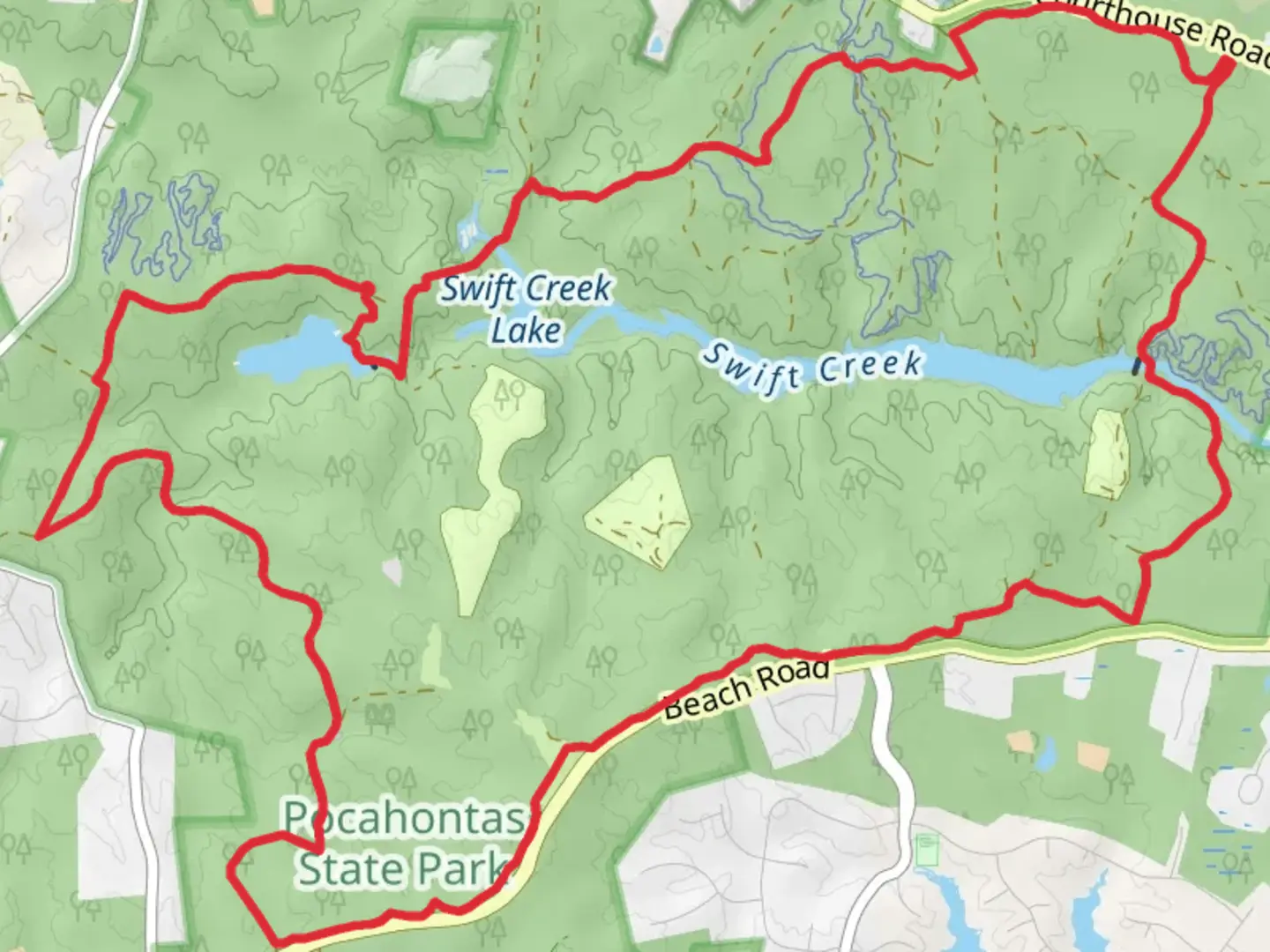
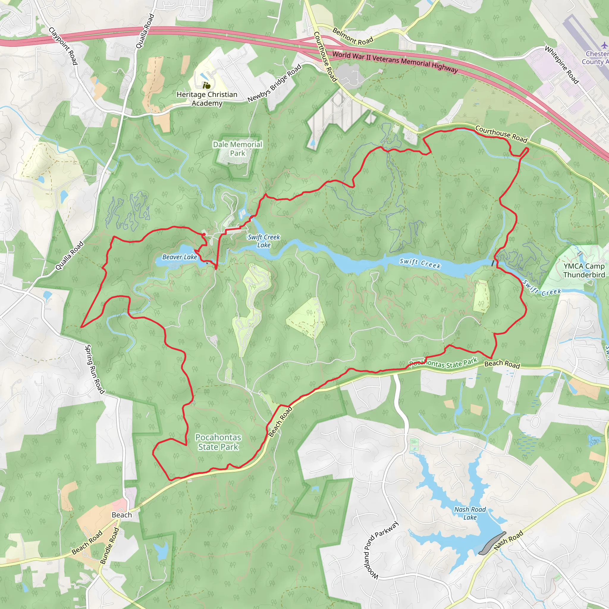
Nestled in the serene landscapes near Chesterfield County, Virginia, the Swift Creek and Beaver Lake Loop offers an immersive experience into the heart of Pocahontas State Park. Spanning approximately 22 kilometers (about 13.7 miles) with an elevation gain of around 200 meters (approximately 656 feet), this loop trail is a delightful challenge for those looking to engage with nature over a medium difficulty hike.
Getting to the Trailhead
To reach the starting point of the Swift Creek and Beaver Lake Loop, hikers can drive to the park, which is easily accessible from Richmond by taking VA-150 South to Iron Bridge Road (VA-10 E) and following the signs to Pocahontas State Park. For those relying on public transportation, options may be limited, and a taxi or rideshare service might be necessary from the nearest bus or train station to the park entrance.
Navigating the Trail
Once at the park, the trailhead can be found with the help of the HiiKER app, which provides detailed maps and navigation tools to ensure you stay on the right path. The loop can be tackled in either direction, but many choose to begin by heading towards Swift Creek for a gentle start.
Natural Features and Wildlife
As you embark on the trail, you'll be greeted by a mixed hardwood forest that transitions through various ecosystems. The first section meanders alongside Swift Creek, where the gentle sounds of flowing water accompany your journey. Keep an eye out for the diverse bird species that call this area home, including woodpeckers, warblers, and the occasional bald eagle.
Historical Significance
The region is steeped in history, with Pocahontas State Park being a part of the Civilian Conservation Corps legacy from the 1930s. As you hike, you'll be walking in the footsteps of those who shaped the land during the Great Depression, contributing to the conservation and development of Virginia's natural resources.
Landmarks and Points of Interest
Approximately halfway through the hike, you'll reach Beaver Lake, a tranquil body of water that offers a peaceful respite and a chance to observe beavers, if you're lucky, along with turtles and frogs. The trail around the lake provides several vantage points for taking in the scenery and perhaps enjoying a picnic.
Trail Conditions and Preparation
The trail is well-maintained with clear markings, but it's important to wear appropriate footwear as some sections can be rocky and root-filled. The elevation gain is gradual, making it a good workout without being too strenuous. However, it's wise to carry water, snacks, and a first-aid kit, as the loop takes several hours to complete.
Seasonal Considerations
Spring and fall are particularly beautiful times to hike the Swift Creek and Beaver Lake Loop, with wildflowers or autumn leaves adding to the visual splendor. Summer hikes are lush and green, but be prepared for Virginia's humidity and bring insect repellent. Winters are generally mild, though snow can add a layer of difficulty to the trail.
By preparing adequately and respecting the natural environment, hikers can look forward to an enriching experience on the Swift Creek and Beaver Lake Loop, enjoying the beauty and tranquility of one of Virginia's treasured outdoor spaces.
What to expect?
Activity types
Comments and Reviews
User comments, reviews and discussions about the Swift Creek and Beaver Lake Loop, Virginia.
4.58
average rating out of 5
26 rating(s)
