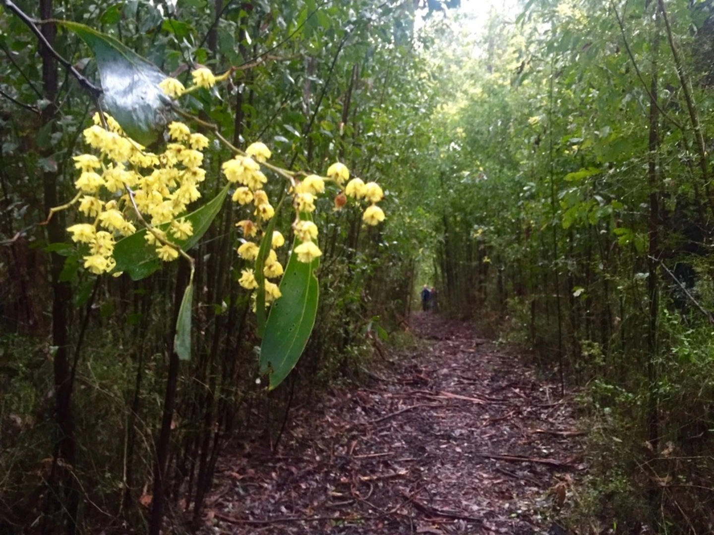
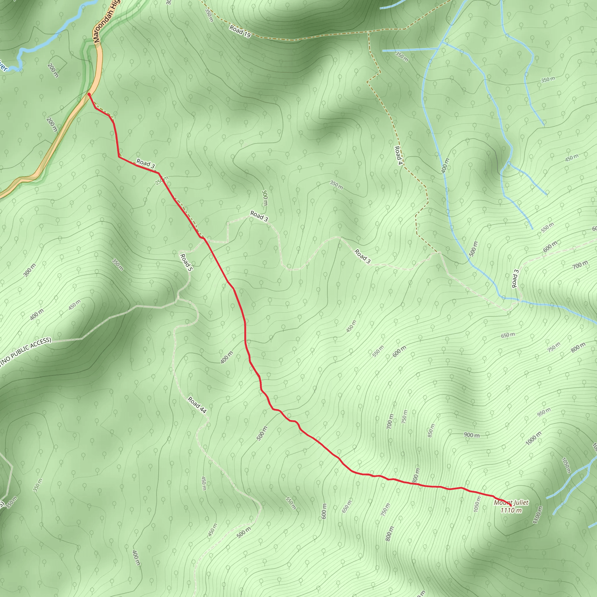
Within the temperate rainforest of the Yarra Ranges National Park, get hiking on the Mount Juliet Trail; a 5 mi out-and-back trail that bags the 1110 metre peak of Mount Juliet, one of the highest summits in the Yarra Ranges. This challenging but rewarding hiking route starts and ends at the Road Three junction, a track off the Maroondah Highway, Victoria. ‘The Yarra Ranges National Park is part of an Aboriginal cultural landscape in the traditional Country of the Wurundjeri People’ and the most spectacular rainforest offering awe-inspiring panoramic views throughout this popular mountainous region. This trail is all about the challenge and the scenic journey, and the satisfaction of reaching the summit rather than epic views. With a total elevation gain of 2993 ft over just 5 miles, it’s a tough slog and is considered a difficult hike. (For information on how we grade trails, please click here.) The terrain on this route consists of a variety of gravel, rough trail, rock scrambling and steep ‘off-trail’ forest paths. The challenge begins early and keeps your heart pumping, getting steeper as you hike toward the summit. There are often fallen trees to navigate, sections can become overgrown, and steeper parts of the top can be more of a scramble or a crawl, so it’s best to wear boots, gaiters and long trousers, and many recommend that hikers carry walking poles, to help with the incline, but also to get through some denser parts of scrub and stickier bush. Usually completed in around 4 – 5 hours, although caution is advised on trail times as this depends on multiple variables. For more info, click here. Dogs are not allowed in Victoria’s national parks for the protection and conservation of the parks and their wildlife. Photo Credit: https://www.trailhiking.com.au/